Alkkianvuoren Lakilenkki – nature trail in Parkano
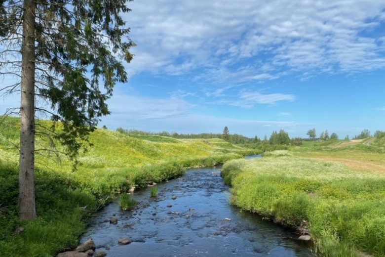
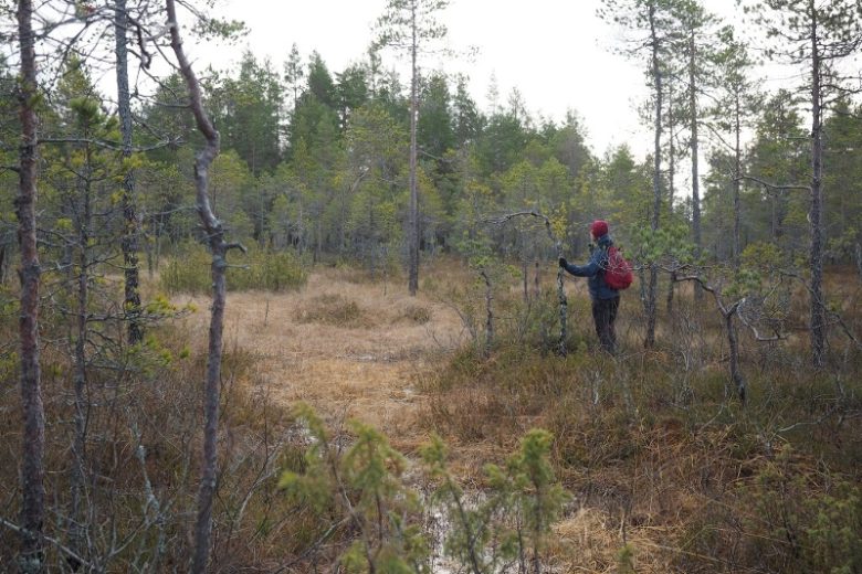
At Alkkianvuori, you hike in varied and steep Pirkanmaa forest nature. Alkkianvuori rises to 201 meters above sea level in the rugged watershed area of Suomenselkä. Special features include post-glacial shore screes and rocks from ancient sea and lake phases, Raatosulkonneva slope mire, seasonal wetlands, and a peculiar knobbly pine. On clear days, the northern rocky edge offers magnificent views of the surroundings.
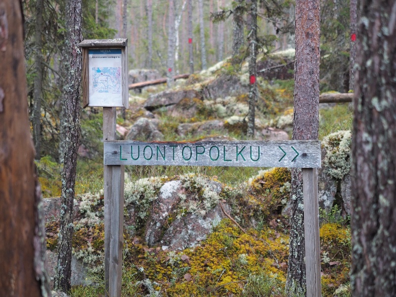
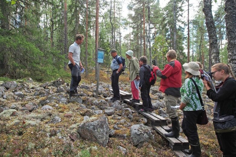
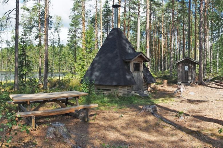
The Alkkianvuori nature trail traverses challenging terrain at times. The route's starting point has a shelter hut and toilet. The nature trail boards include additional content with an audio guide accessible via QR code.
The trail is marked with signposts and trail markers on the terrain. Guidance is complemented by a GPX route available on Outdooractive.


More about the route
Plan your trip
The route starts next to the main information board with a transfer of about 100 m to the trail junction at the foot of the rocky fields of Alkkianvuori. The trail continues to the right from the junction. The route initially passes through varied rocky fields and then gradually ascends higher up the slope. Along this 250 m section of the trail, there are several shore screes, which are crossed by boardwalks. On the upper slope, the trail passes through about 150 m of relatively easy-to-walk heathland and then begins descending towards Raatosulkonneva.
The route is boardwalked on Raatosulkonneva for about 600 m. About 100 m after the beginning of the boardwalks, there is a trail junction; turning right leads back towards Alkkianvuorentie road and back to the starting point that way. After Raatosulkonneva, the trail ascends through varied heathlands to the summit area of Alkkianvuori. After about 500 m, you reach the edge of the first seasonal wetland. Water accumulates in the wetland in spring, and the pool dries up during summer. Less than 100 m after the seasonal wetland, you arrive at the Mukuramänty pine tree. This peculiarly knobbly, dead-standing pine is a protected natural sight.
From Mukuramänty, about 500 m ahead, you reach a second seasonal wetland, which extends to the left side of the trail. The trail follows an ancient post-glacial shoreline, which today mainly appears as a difference in forest vegetation. The trail descends from the highest shore to the lower slope and arrives at an intersection. To the right, there is a connection to the southern parking area of Alkkianvuori.
The trail continues left from the junction, ascending again to the level of the highest shoreline and then proceeding into a spruce forest. After about 600 m in the spruce forest section, the trail reaches the summit of Alkkianvuori, where there are ruins of an old triangulation tower. From the summit, the trail descends to the more open rocky northern slope, offering views of the surrounding forest landscape. About 200 m from the summit, there is an intersection where the route continues left. Then follows about a 700 m section with several demanding spots. Upon reaching below the rocky slope, you reach a trail junction, where you turn right. About 100 m later, the route returns to the starting point.
No public transportation.
By roadSignage to Alkkianvuori from Alkkiantie.
ParkingFree
www.luontoon.fi
Similar routes nearby