Connector route Lappväärtti - Karijoki
The Eurovelo 10 route runs along the west coast of Finland from south to north. There are connector routes between the Geopark network and Eurovelo 10 from Merikarvia to Siikainen and from Lappväärtti to Karijoki. These allow detours from the Eurovelo 10 route to the Geopark area network or vice versa. This enables combining cycling routes so that a bike trip can be done, for example, from one train station to another (Parkano, Pori, and Vaasa).
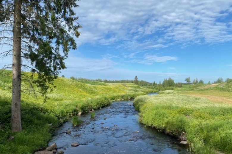
The connector route from Lappväärtti to Karijoki follows a permanently paved road along the riverside of Lappväärtinjoki. The route passes through pleasant rural landscapes the entire way. Besides the riverside villages, the scenery is dominated on the left side by Pyhävuori, the highest hill in Ostrobothnia.


More about the route
Plan your trip
Bus connection to Lappväärtti and Kristiinankaupunki, bicycle transport must be arranged in advance with Matkahuolto.
By roadSigns to Lappväärtti from road 8.
ParkingFree parking near Lappväärtti church, Eteläinen Lappväärtintie 114.

Similar routes nearby