Geobike Hämeenkangas
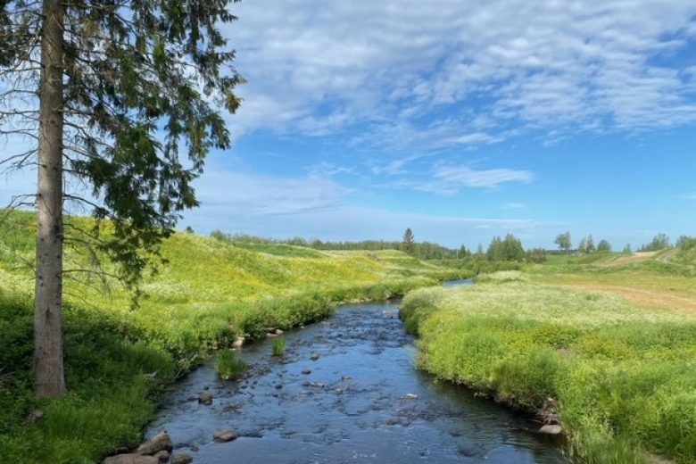
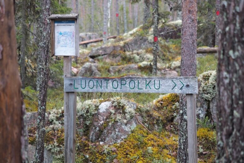
The Geobike route starting from Jämi follows the Hämeenkangas trails, cart roads, and ski trails, detours along a village road to Uhrilähde and Kylmänmyllynlähde, visits the Koivistonvahti rest stop, and travels along Niiniharju and Soininharju back to Jämi. The route's ascents and descents are mostly gentle, although the surrounding terrain can be steep. It is also suitable for beginner mountain bikers. The route is marked with signs, and its identifying color is white.
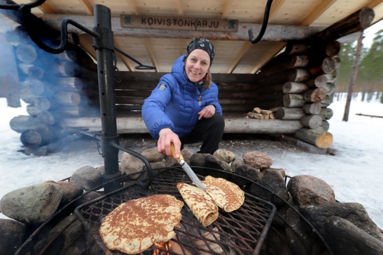
There are several rest spots and an observation tower along the route. There are toilets at Koivistonvahti and Niiniharju kota. All route structures, except the observation tower, are maintained by Metsähallitus.


More about the route
Plan your trip
The route starts from the information boards behind the Jämikeskus and Jämi Arena, from where the route heads left following the root of Soininharju. After about 800 m, the route crosses a road and turns right along the road. The route continues for 300 m and turns left at the intersection. The route passes the Hämeenkangas shore terrace plateau for another 50 m and then descends along the slope to a lower plateau for about 200 m. The route turns right immediately below the slope and continues following the root of the slope. About 200 m ahead, a ski trail is crossed, followed about 300 m later by arrival at the Hämeenkangas forest church. From there, the route continues left for about 200 m and then turns right. The route continues 350 m to an intersection, from which the left leads to a connecting route to Uhrilähde and Kylmänmyllynlähde, and straight ahead leads to Koivistonvahti.
To reach the springs, cross Mielahdentie and follow the road signs to Uhrilähde. After about 500 m straight, turn left at the intersection and continue 350 m to the Uhrilähde and Kylmänmyllynlähde parking area. A forest path leads to the springs, follow the signs. The return from the springs is the same route back to the edge of Mielahdentie.
The route to Koivistonvahti continues straight for about 180 m, then turns right and crosses a forest road after about 50 m. The route continues as a needle path for about 800 m, crosses another forest road, and continues as a needle path for about 500 m until reaching a forest road. The route turns right, follows the forest road for about 100 m to the Koivistonvahti parking area, from where it turns right to the Koivistonvahti rest spot.
From the Koivistonvahti cooking shelter, the route continues along a gravel path passing a toilet building toward the south for about 150 m, then turns right at the path intersection. The route now follows the line of the Koivistonkierros on a gentle uphill stretch for 650 m, crosses a forest road, continues 150 m, crosses another forest road, and continues for another 300 m until it reaches the Pirkan ura alignment. On this section, the route follows the same line as Koivistonkierros, so pedestrians are also present on the route.
On the Pirkan ura, the route turns right and diverges from Koivistonkierros. It continues straight for about 300 m, crosses a forest road, and continues straight for 900 m to Niiniharju. On the left side of the route is the Niiniharju kota. The route continues straight for about 100 m through the Niiniharju parking area and turns left, following the Pirkan ura line for another 350 m, then turns left onto a needle path leading to Soininharju. On Soininharju, the route follows the ridge crest for about 800 m, with several intersecting paths along the way. The route then turns right, about 100 m later left, and 100 m after that right again, continuing straight for about 150 m to the observation tower.
From the observation tower, the route goes around behind the tower to the right and then immediately turns left. It follows a downhill section of about 200 m, with the Soininharju lean-to shelter remaining on the right side halfway down. At the foot of the hill, the route continues gently left curving toward the Jämi information board complex and the route's starting point, about 150 m away.
No public transport.
By roadFollow the signs to the Jämikeskus parking area in Jämi. The route's starting point is located behind Jämi Arena when viewed from the parking lot.
ParkingFree of charge.
see www.luontoon.fi
Similar routes nearby