Geopark route Pirkanmaa
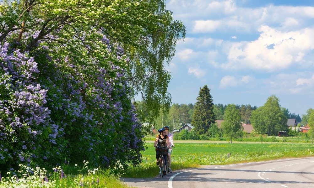
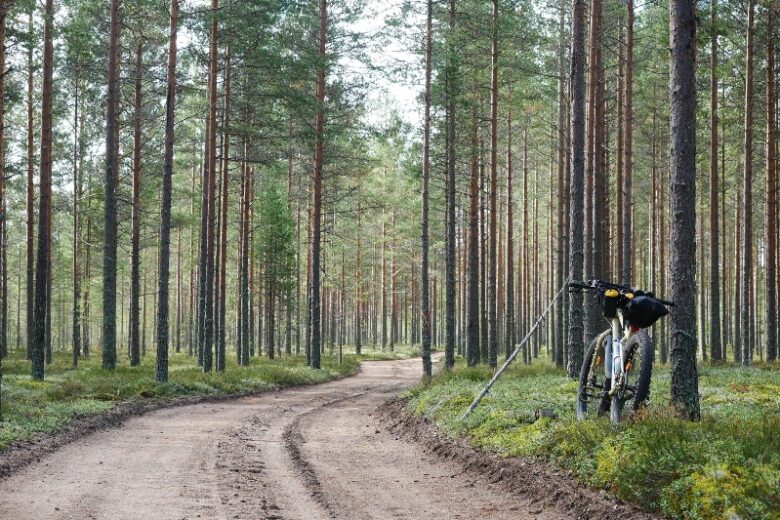
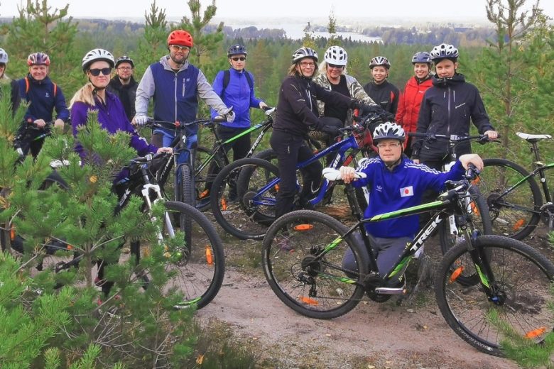
A 137 km cycling route through the quiet village roads of Northwest Pirkanmaa and Northern Satakunta, wilderness forest paths, and lake scenery. The circular route starting from Parkano railway station connects local services and sights while introducing visitors to the area's fascinating nature and interesting history.
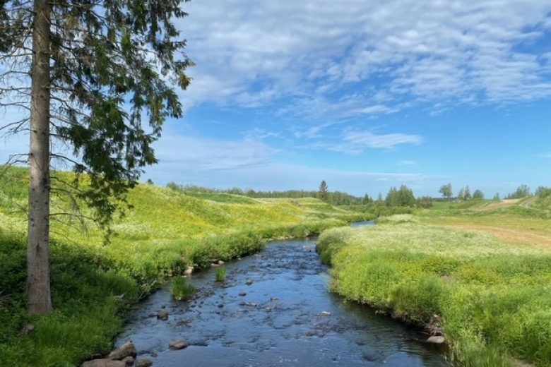
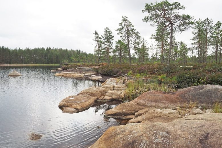
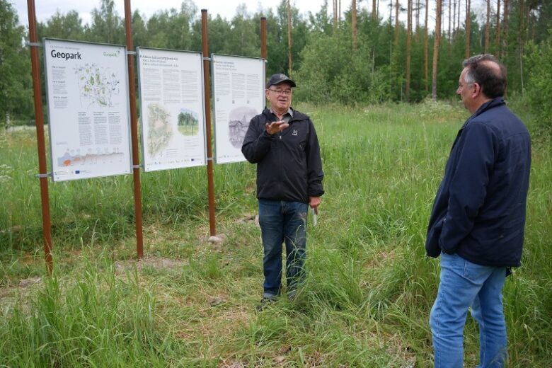
In addition to the urban centers of Parkano, Karvia, and Kihniö, the route includes Geopark sites Kaidatvedet, Alkkianvuori, and Neva-Lyly. The route also provides access to the Aitoneva peat museum, Käskyvuori, Kauhaneva-Pohjankangas National Park, and Hämeenkangas.
The recommended direction is clockwise. The route mainly follows paved roads and well-maintained gravel roads. The route is digitally guided by a GPX track available on Outdooractive.


More about the route
Plan your trip
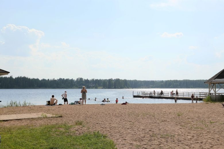
From Parkano railway station, turn left and drive along Uudenasemantie following the signs towards the center of Parkano. About 3 km away, turn left onto Käenmäentie and continue for about 2 km, then turn left at the T-junction. Continue along Parkanontie for about 1 km. Turn right onto Keskuskatu and continue through the center. When you reach Vaasantie, turn onto the light traffic path running next to it and continue under Vaasantie to Kolmoskeskus. Most of the services in Parkano, including several grocery stores, restaurants, and a hotel, are found in the center and Kolmoskeskus area.
On reaching Niementie in Kolmoskeskus, turn left and continue to the Parkanontie roundabout, from where continue along Heinosentie to Kuruntie. Turn left towards Kuru. After the Viinikanjoki bridge, turn right onto Yliskyläntie and continue for 13 km to Poltti in Ikaalinen. At the T-junction in Poltti, turn right and continue along Poltinkoskentie for 2 km to Kasittula, where you first turn right on Poltinkoskentie and after the Vääräjoki bridge, turn left onto Riitialantie and continue for about 4 km. Upon reaching Highway 3, turn left and continue for 2.5 km until you reach the Mansoniemi bridge. On the right after the bridge is a camping area.
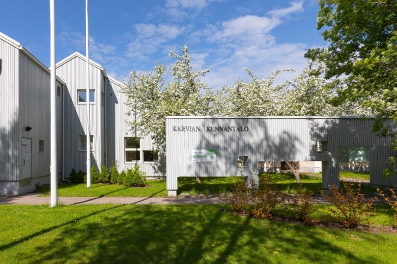
Continuing on Highway 3 from Mansoniemi, turn right onto Raivalantie. Continue for 14 km to Raivala, from where, after crossing Porintie, continue along Laholuomantie for 7 km, then turn right onto Suomijärventie and continue for 7.5 km, and then turn right onto Rannankyläntie. Continue Rannankyläntie for 7.5 km and turn left onto Ylä-Satakunnantie, continue for 6 km until reaching the Karvia urban area.
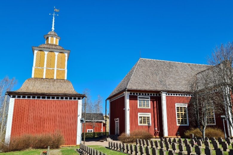
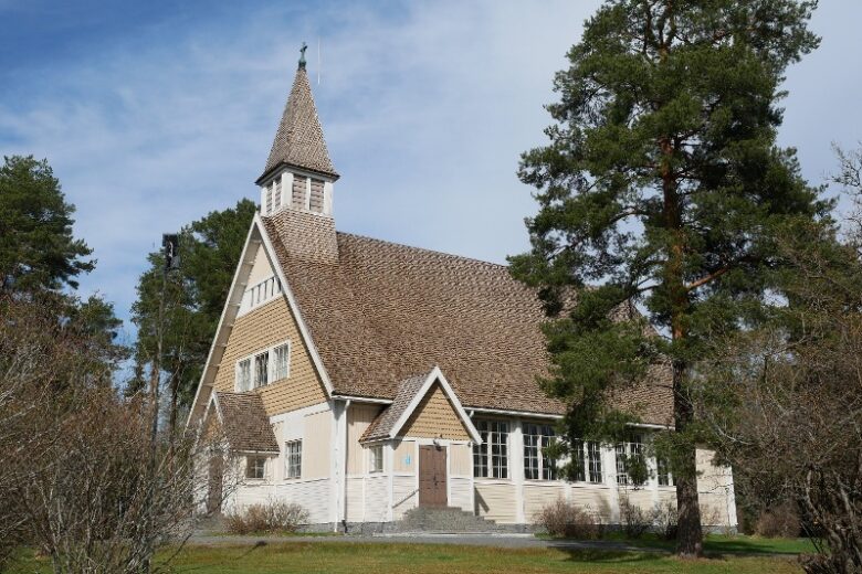
In the Karvia urban area, turn right onto Kirkkomukka and drive to Karvia Church. From there, continue along the light traffic path by Kylä-Karviantie and Sarvelantie for about 4 km to Sarvela. Most services of the Karvia town center are found in this stretch. About 2 km north from Sarvela along Sarapohjantie is Anne's art café, which is a popular attraction.
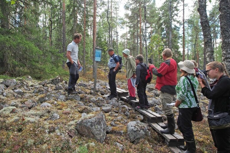
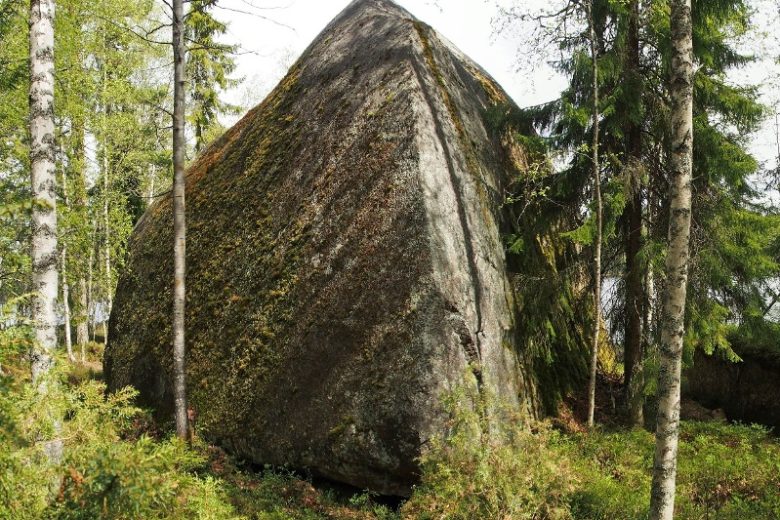
At Käntynmäki village shop, turn right onto Alkkiantie and continue for about 23 km to the Kuivasjärvi junction. On this stretch, at 14 km on the left is Neva-Lyly, and at 15 km on the right is Alkkianvuori. Neva-Lyly is about 2 km from Alkkiantie, and Alkkianvuori about 1.5 km. Along the way are also the former auxiliary prison area of Karvia and the Forestry Research Institute area in Alkkia village.
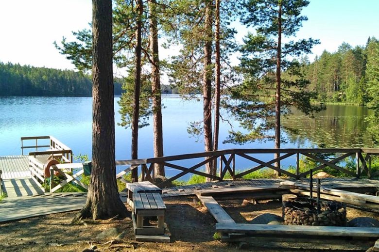
From the Kuivasjärvi junction, continue straight for about 13 km to Kihniö center. After Naarminkylä, turning right onto Pyhäniementie, 2.5 km off the route, is the Pyhäniemi tourist center, which offers accommodation and restaurant services, among others.
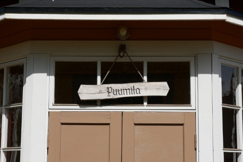
Upon reaching the center, turn left onto Kihniöntie and at Puumila skill building, turn right onto Kuruntie. At about 1 km, turn left onto Järvisuomentie and continue for about 4 km, then turn right onto Mustaniementie and continue about 6 km. Then turn left onto Koskenkyläntie, continue for about 2.5 km, turn right, follow Järvisuomentie for 4 km, and then turn left onto Uudenasemantie. Continue for 4.5 km until you arrive at Parkano station, which is the route's endpoint.
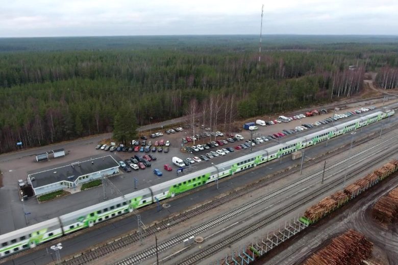
Daily train connection to Parkano railway station. Bicycle transport possible on Intercity trains.
Bus connection to Parkano center (www.matkahuolto.fi and www.onnibus.fi)
By roadBy car via Highway 3 from the south to Parkano, and about 3 km north from the center on Highway 3, follow the signs to Parkano railway station.
From Pori via Highway 23 to Parkano, connecting to Highway 3 and about 3 km north from the center on Highway 3, follow the signs to Parkano railway station.
From the north, on Highway 3 before Parkano, signs on the left to Parkano railway station.
ParkingFree
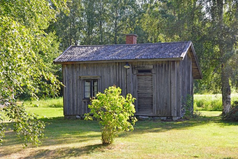
Along the way


Similar routes nearby