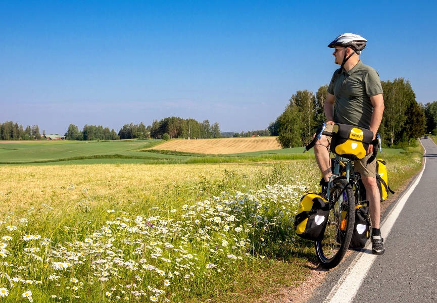
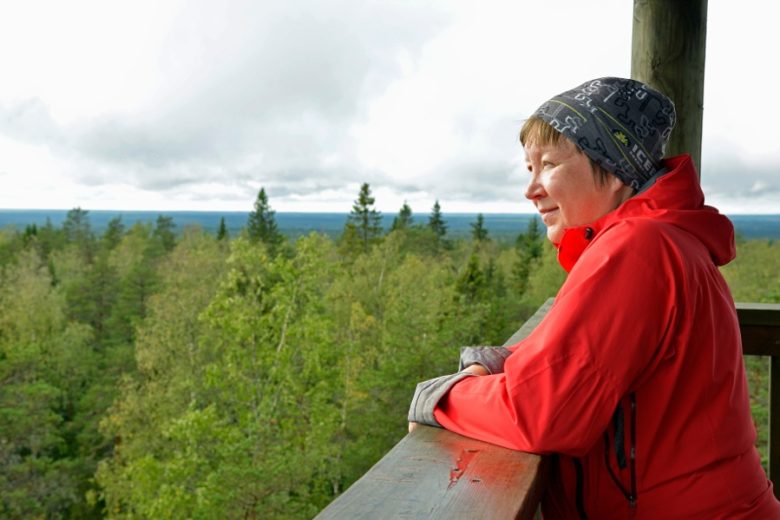
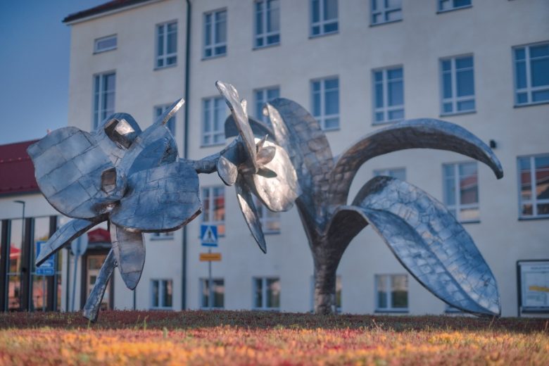
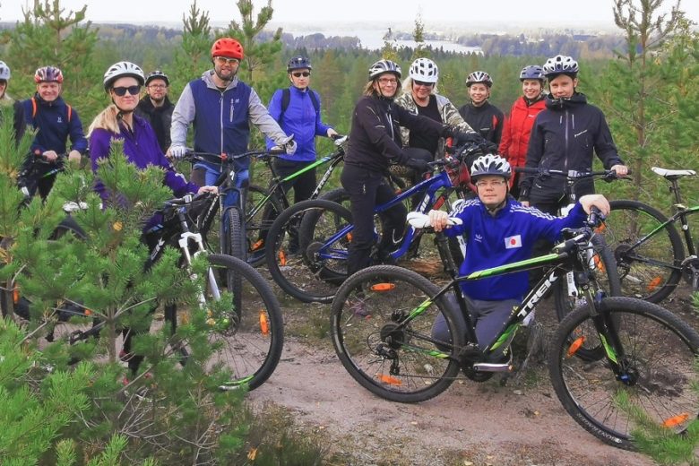
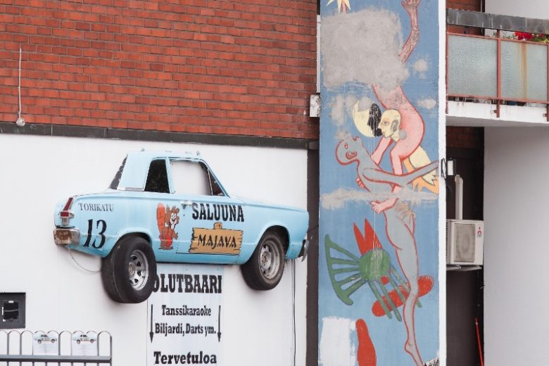
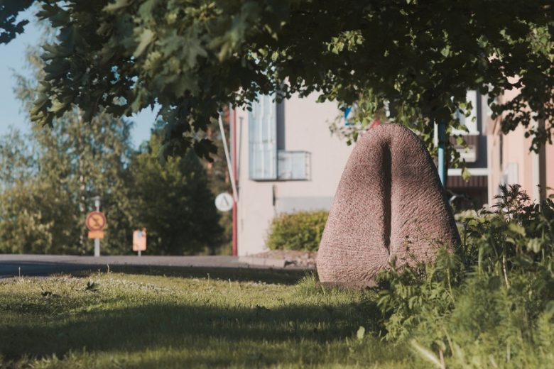
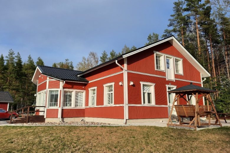
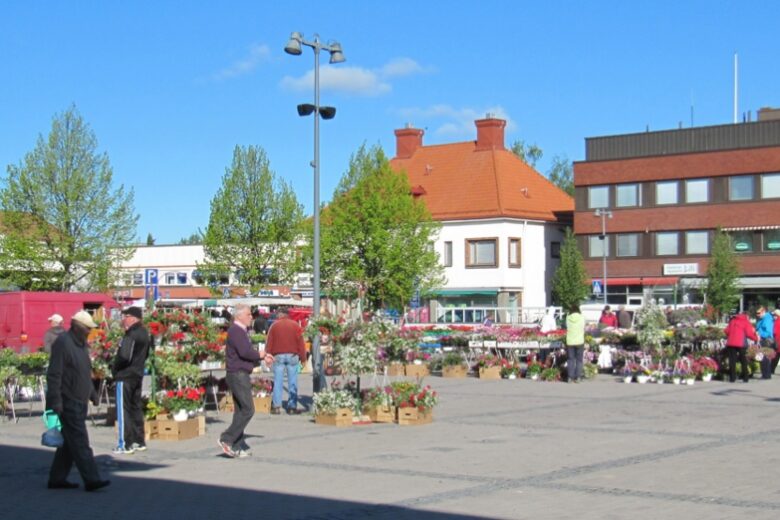
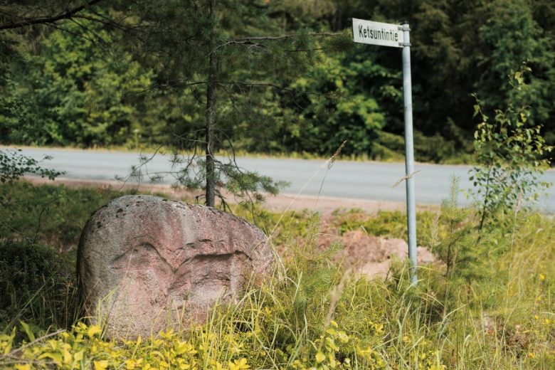
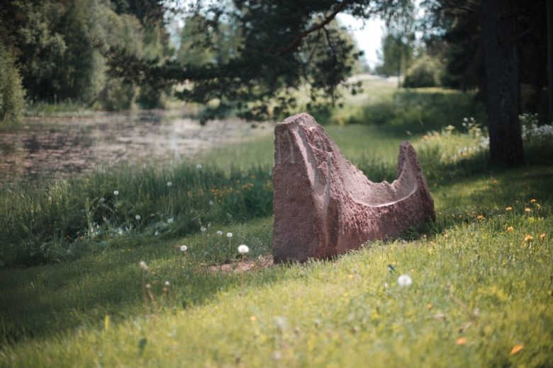
Geopark Route Satakunta
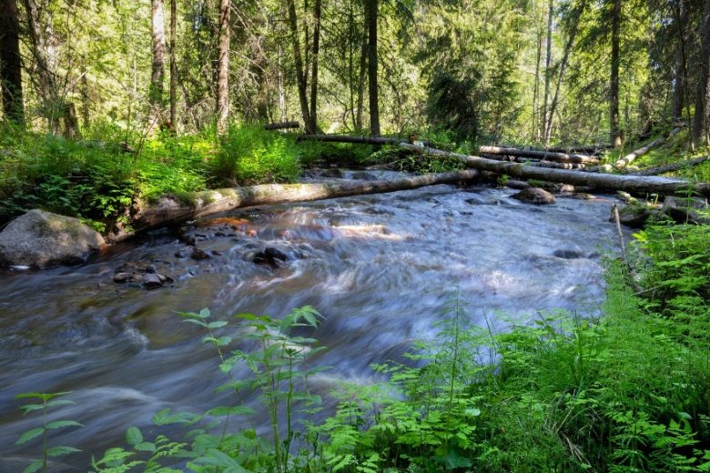
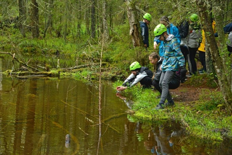
A 172 km cycling route on quiet village roads of Northern Satakunta, through wild forest paths and lake landscapes. The ring route starts at Kankaanpää Market Square, connecting area services and sights and leading to phenomena and events of the region’s cultural history.
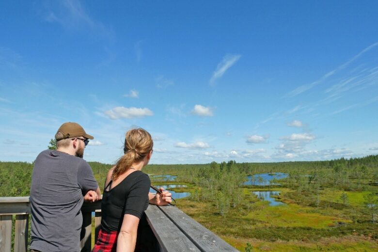
Besides the urban centers of Kankaanpää, Siikainen, Honkajoki, Karvia and Jämijärvi, the route includes the following Geopark sites: Haapakeidas, Huidankeidas, Lauhanvuori National Park, Kauhaneva - Pohjankangas National Park, Häädetjärvi and Hämeenkangas.
The recommended direction is clockwise. The route is a ring and mainly follows paved roads or well-maintained gravel roads. The route is digitally signposted with a GPX track available on Outdooractive.


More about the route
Plan your trip
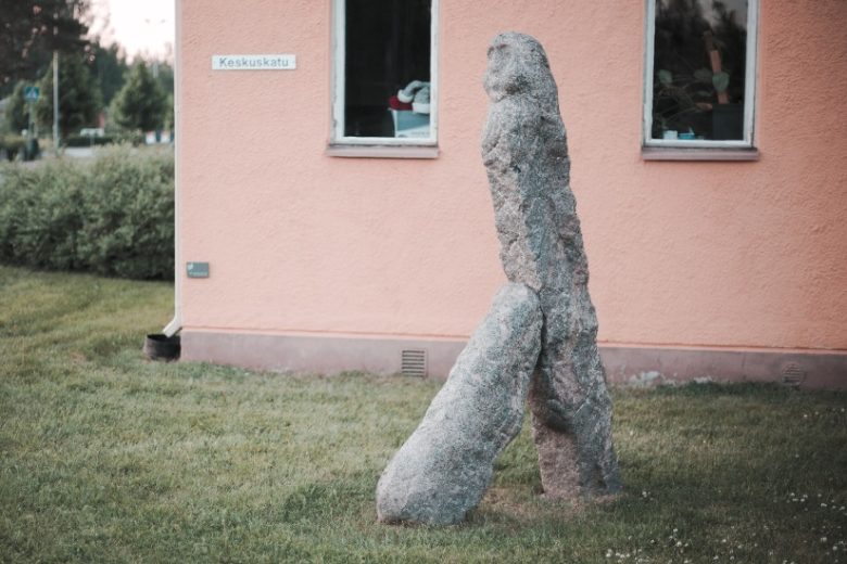
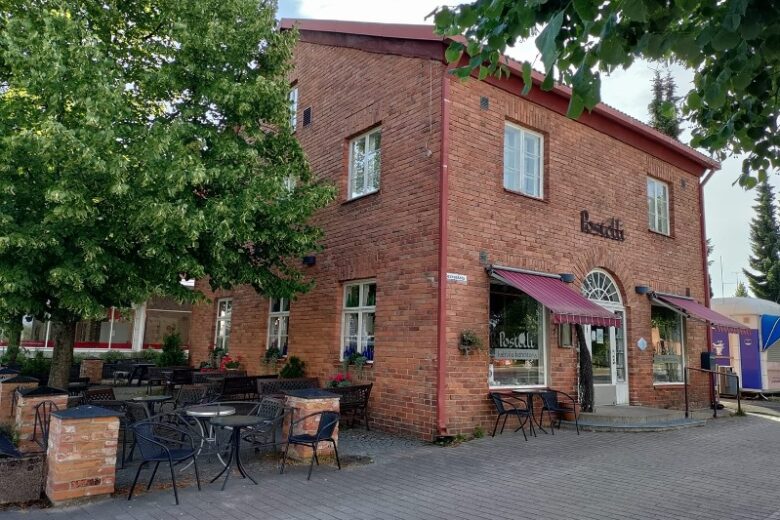
The route starts from Kankaanpää Market Square between Postelli and Hesburger, crossing Keskuskatu and turning right. Follow the light traffic lane along Keskuskatu for 1.3 km until reaching a roundabout. Turn left and continue on the light traffic lane to the second roundabout. After the second roundabout, turn right, cross Asemakatu, and turn left. Continue 70 m and turn left. Pass under Laviantie, then turn right.
Continue on the light traffic lane for about 300 m, turn left and continue about 400 m. Turn right, pass under Porintie via an underpass, and then turn left. Continue on the light traffic lane to its end and move onto Porintie. Continue 650 m and turn right onto Venesjärventie. Continue along Venesjärventie.
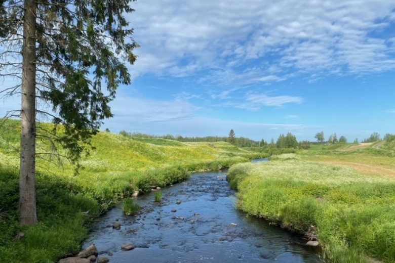
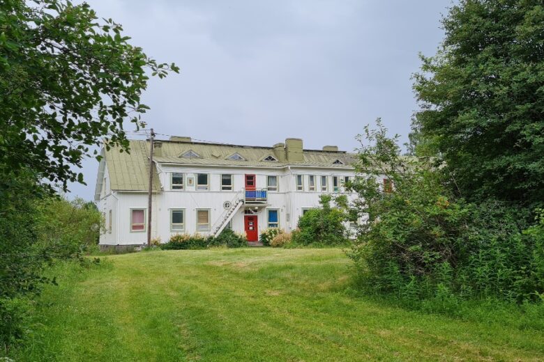
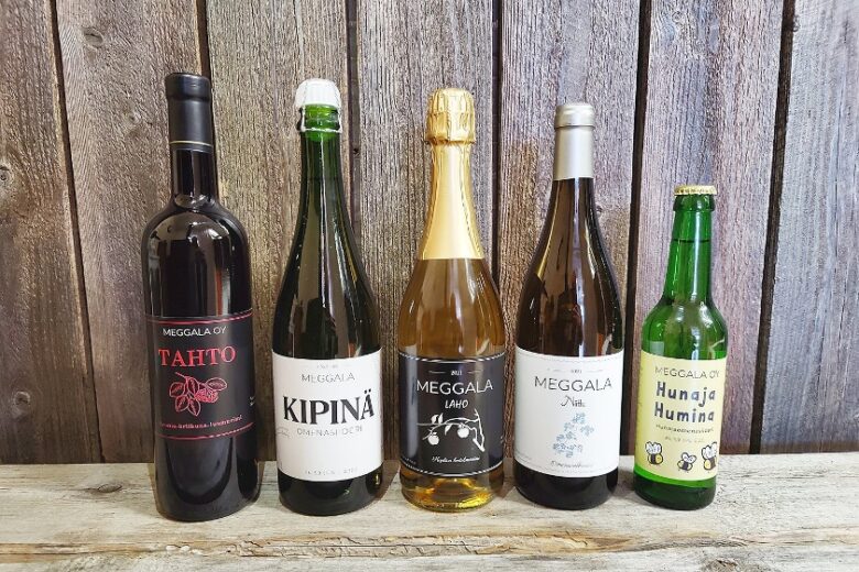
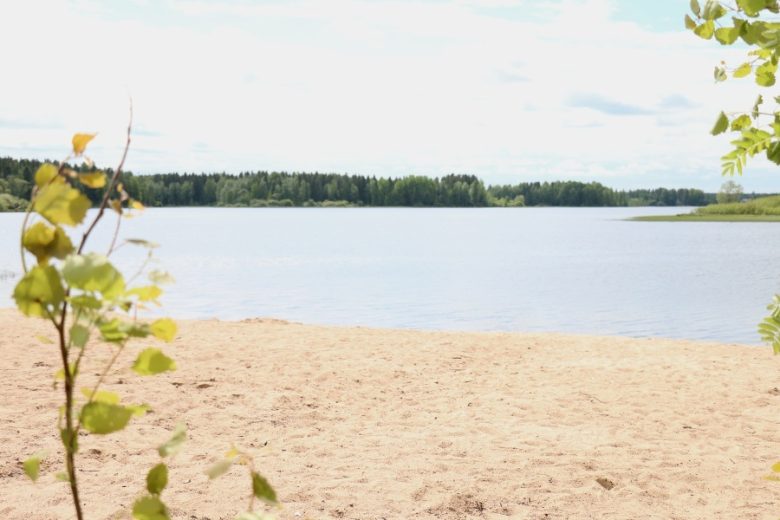
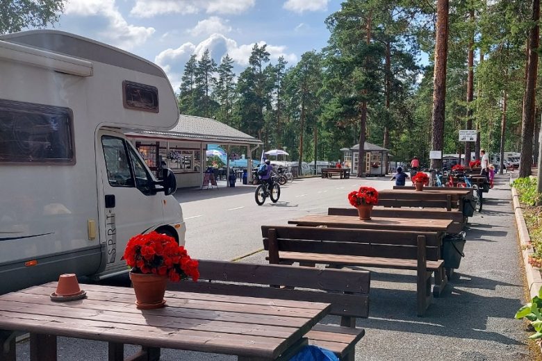
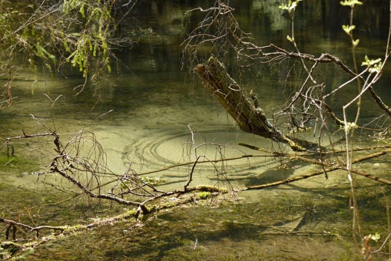
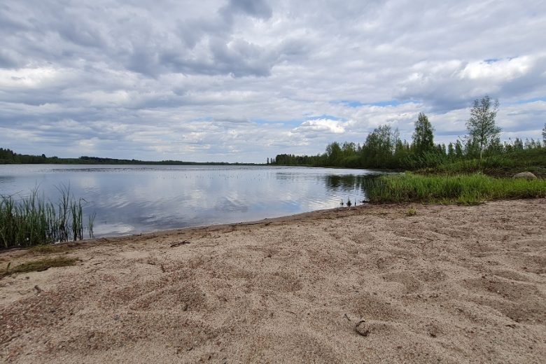
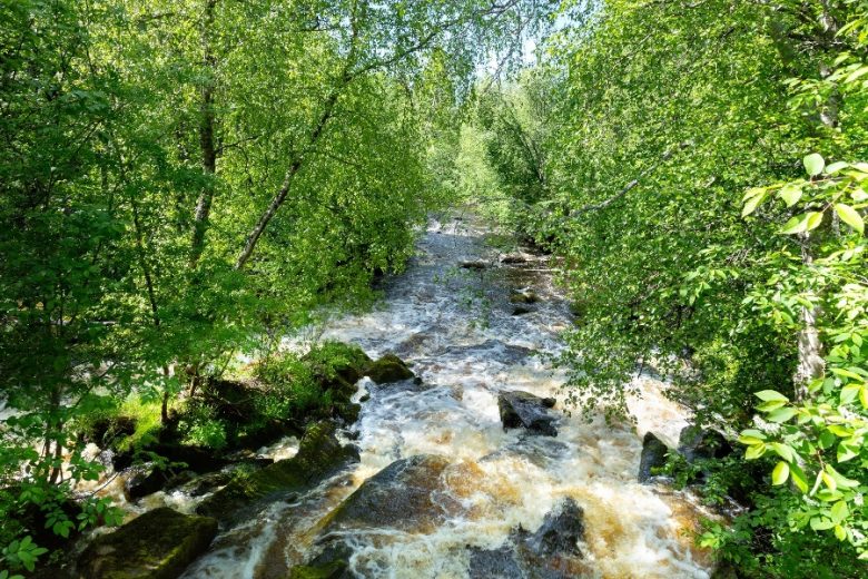
About 2.7 km away, cross Karvianjoki River. Continue on Venesjärventie about 6 km until reaching Venesjärvi. Venesjärvi has a shop, a winery, a local products store, and a beach.
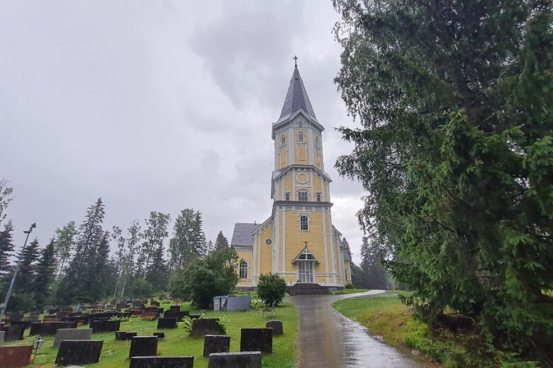
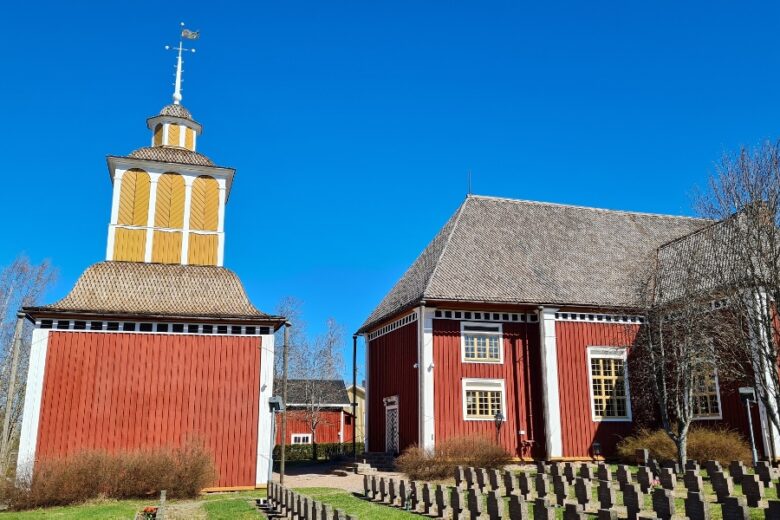
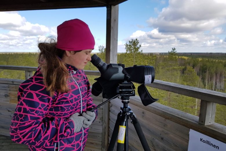
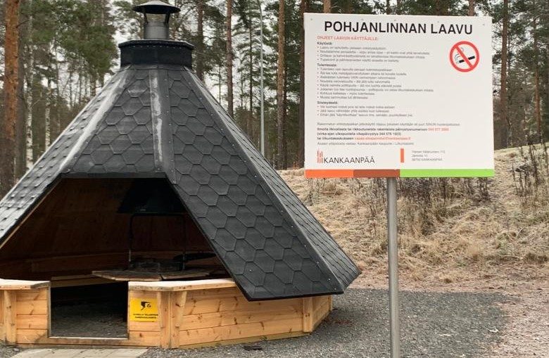
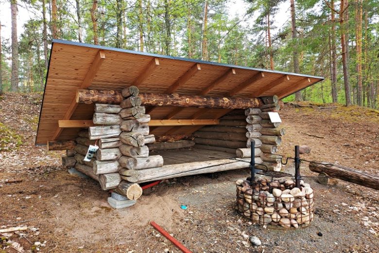
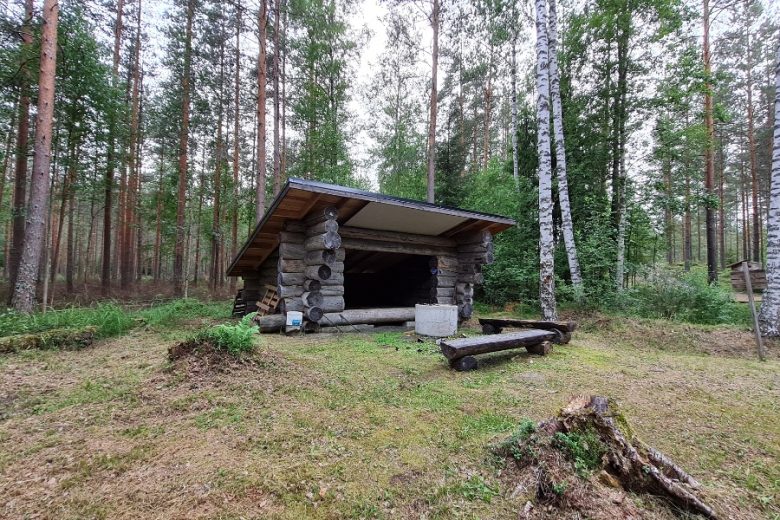
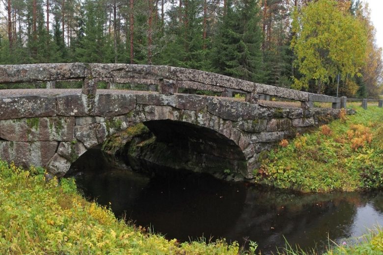
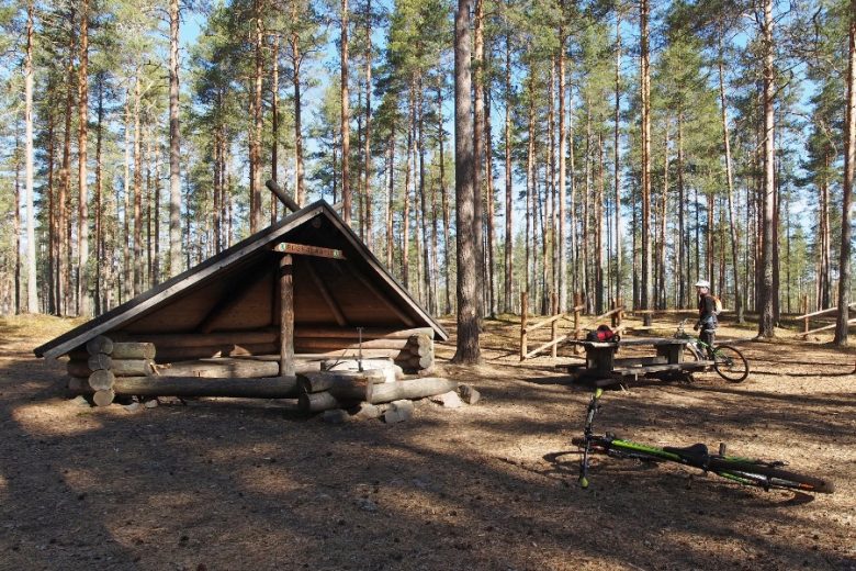
From Venesjärvi, continue on Venesjärventie about 7 km to the municipal border. Continue about 4 km until a junction. Continue straight from the junction on Hirvijärventie. After about 9 km, reach the bridge crossing Hirvijärvi. Continue about 6 km, on the left is the church and local heritage museum of Siikainen. From Pappilantie by the church and cemetery, access Itäjärvi Lake, which has a birdwatching tower and a lean-to shelter.
After the church, continue on Hirvijärventie, about 300 m to Heinijoki Bridge and 200 m further to Siikainen center. From the four-road junction, continue straight following Lauttijärventie, and about 100 m later turn right onto Kankaanpääntie. Continue about 650 m until the four-road junction, then turn left onto Rantatie and continue about 150 m. Then turn right onto Paloniementie and continue about 400 m.
At the end of the road begins a light traffic lane, which is continued forward. About 300 m away it ends by the road leading to a beach, beach on the left. The route continues right, about 70 m later it connects to Eteläpääntie, the Eteläpää tourist center is left at this junction. The route continues right and about 250 m later connects to Siikaistentie. Turn left and follow Siikaistentie.
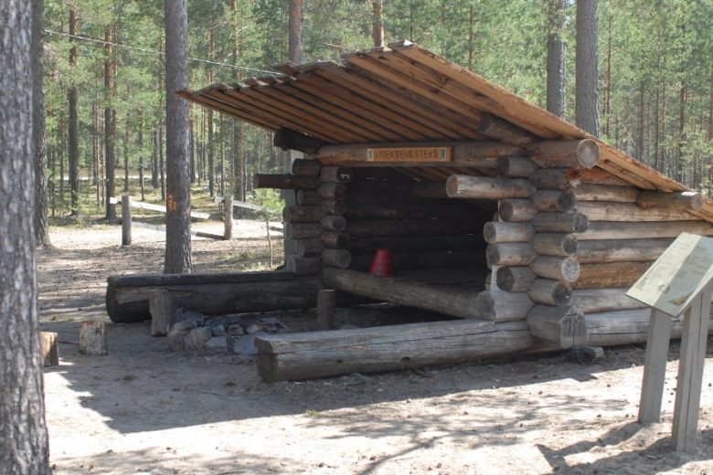
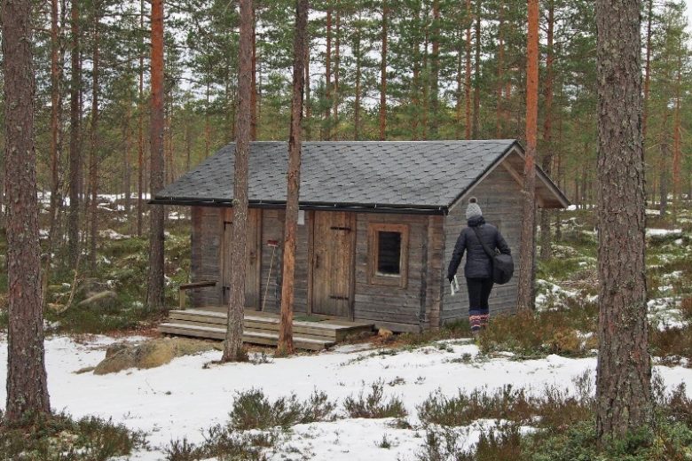
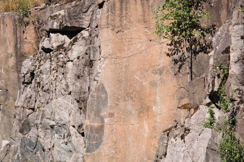
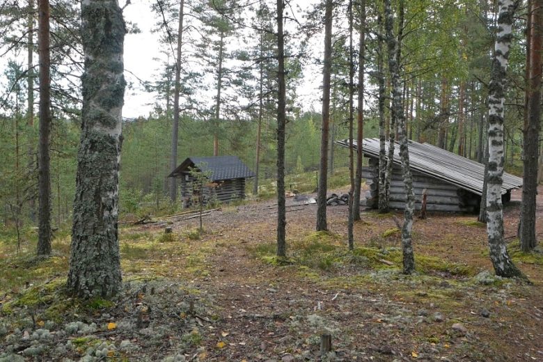
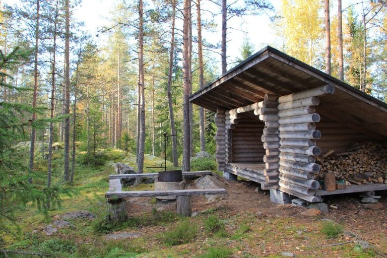
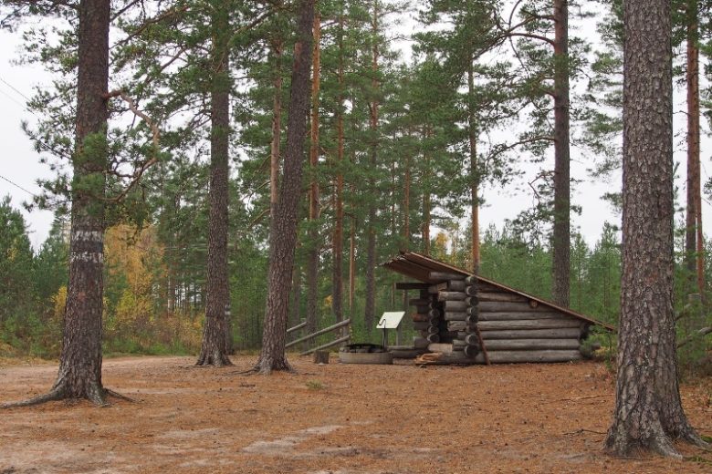
About 1.3 km later on the right side of the road is the Tunturijoki Museum Bridge. About 3 km later, cross Samminjoki River. 1 km further reach a junction, turn left towards Honkajoki. Continue on Honkajoentie, which soon crosses Samminjoki. After the bridge, turn left to Haapakeidas, with roadside signs to Katselmankallio, which has a lookout tower, lean-to shelter, wilderness hut, and connection to Haapajärvi nature trail.
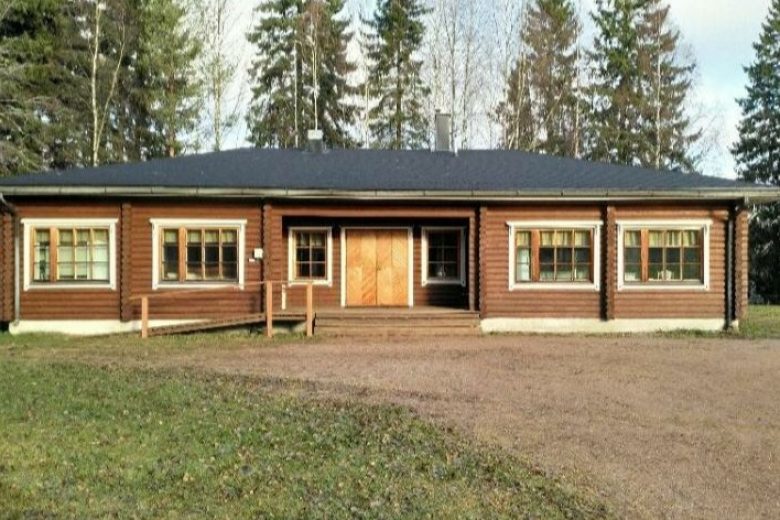
The route continues towards Honkajoki, about 5.4 km later reaching the municipal border, where the road name changes to Rynkäistentie. Continue forward, about 8 km later arriving at the edge of Pieksunkangas, where there is an ancient road and ancient cairns classified as archaeological sites. After about 2.6 km of ridge landscapes, turn left towards Pesämäki. Continue straight for about 4 km through agricultural landscapes of the Karvianjokilaakso valley. Finally, reach a roundabout, before which turn left, cross Rynkäistentie, follow the light traffic lane, cross Pohjanmaantie and turn right to continue on the light traffic lane towards Honkajoki. After the roundabout, on the left is Honkahovi, with hotel and restaurant services.
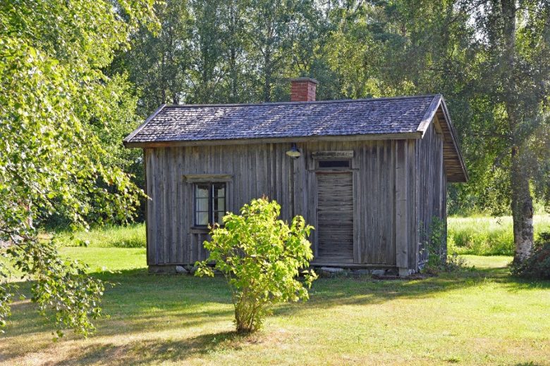
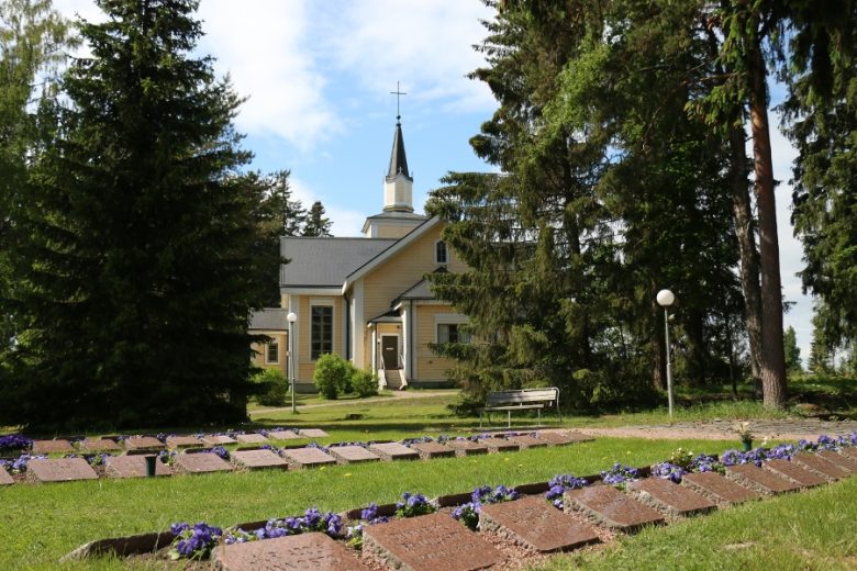
From Honkahovi continue to Honkajoki, about 700 m later cross Karvianjoki Lankoski rapids. About 400 m ahead, reach a four-road junction. To the right is Honkajoki Church. The route turns left onto Katkontie, to be followed for 11.6 km. The route passes rural landscapes. At 11.3 km, cross Karvianjoki under Jylli dam, with a power plant on the right. The road ends at a four-road junction, where you turn right. Continue on Aunesluomantie for 8.5 km. Reach the municipal border, the road name changes to Skanssintie. Continue 5.5 km until reaching Skanssi, where turn left. At the junction, on the left are Skanssi's old storehouses. Continue on Kauraharjuntie about 300 m and turn left onto the light traffic lane following Karviantie.
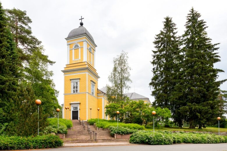
Continue towards Karvia, about 8.5 km away. 600 m ahead, Kultuurikeskus Skantzi is on the left. 100 m after Skantzi, the route moves to Karviantie and about 1 km later back to the light traffic lane, followed to Karvia center. Just before arriving in the center, cross Ylä-Satakunnantie leading to Parkano. After the junction, continue to Karvia Church, about 200 m.
From the church, the route turns right and continues along Kirkkomukka about 450 m. The route reaches Ylä-Satakunnantie, turns left and follows Ylä-Satakuntie about 6 km. At Suomijärvi, turn right onto Rannankyläntie, follow it 7.5 km to the municipal border. At the border, the road name changes to Suomijärventie, continue straight for 7.5 km. At Laholuoma junction, turn right onto Kuusijärventie and continue 3 km. Arrive at a four-road junction, turn left and continue on Kuusijärventie for 10 km.
At Porintie, turn right and about 200 m later left. Continue on Kuusijoentie about 7 km to Tyykkö, where at a T-junction turn left. Continue on Tykkööntie about 5 km, reach Jämijärvi. Cross Jämijärventie and turn left, the route passes through Jämijärvi center. About 400 m later, turn right onto Jämintie. Continue about 1.4 km, then turn right onto Vihuntie.
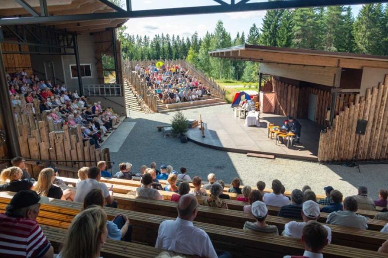
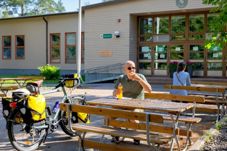
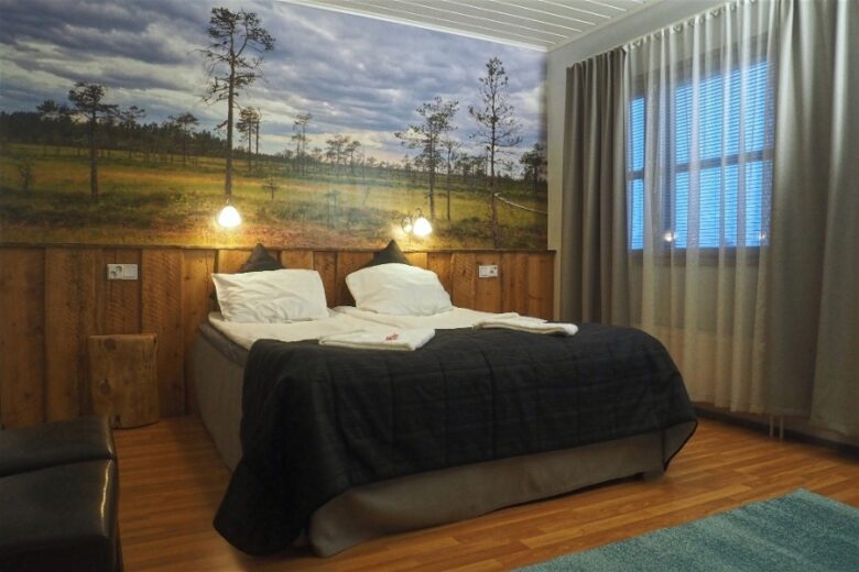
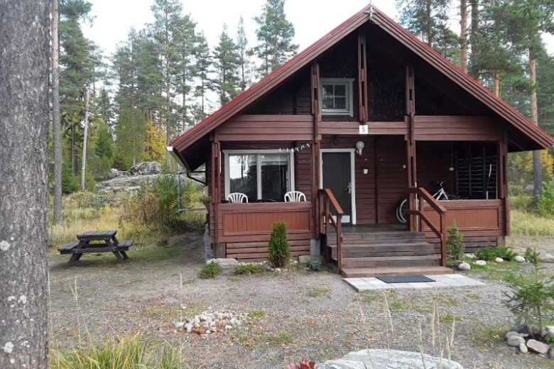
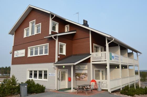
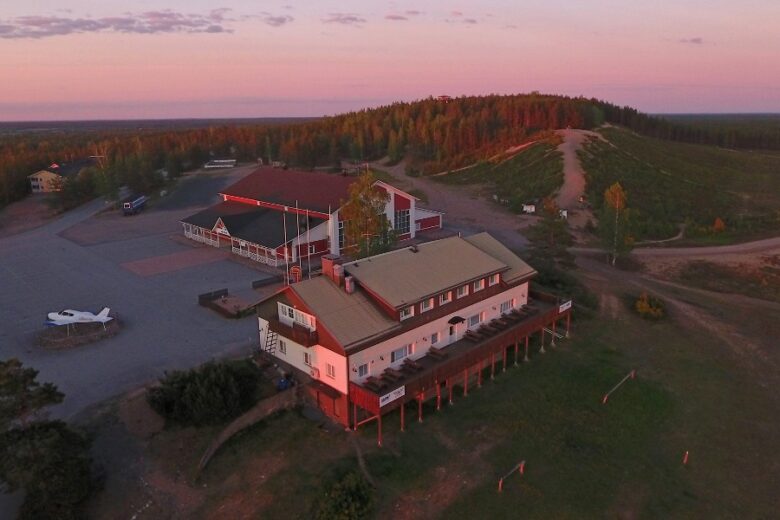
From Vihuntie junction, it is possible to continue straight to Jämi tourism center, about 5 km away. Jämi offers restaurant and accommodation services as well as program services.
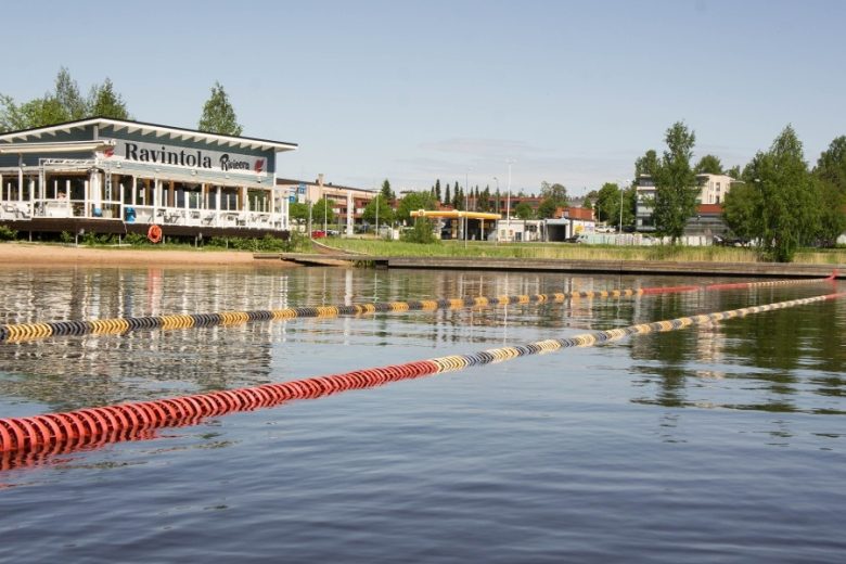
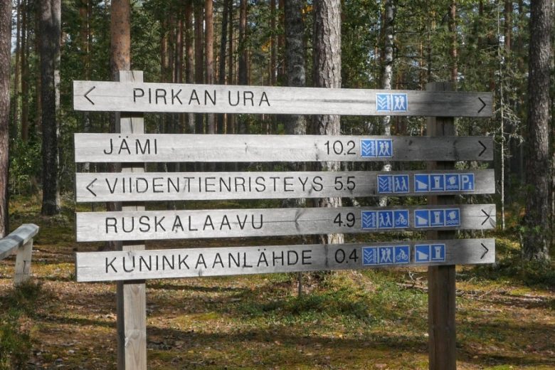
Continue on Vihuntie about 7 km. Reach Vihu village and a three-road junction. Continue straight, road name changes to Kuninkaanlähteentie. About 5 km later, reach Kuninkaanlähtö area with a caravan park, restaurant services and outdoor swimming pool on the right, Kuninkaanlähde and accommodation services on the left.
From Kuninkaanlähde, continue 4 km to Pansiankulma, where at a T-junction turn right. Continue on Pansiantie about 3 km, after 2 km a light traffic lane is available. At Kirkkokatu junction, turn right and follow Kirkkokatu 1.2 km to reach Kankaanpää Church. From the church, continue along the street that changes to Keskuskatu about 700 m to Kankaanpää Market Square, where the route ends.
Bus connections to Kankaanpää bus station, including from Pori. Bicycle transport must be booked in advance.
By roadSigns to Kankaanpää center from all major arrival directions via roads 23 and 44.
Road 44 from Kauhajoki direction towards Kankaanpää and follow signs to the center.
Road 44 from Sastamala direction towards Kankaanpää and follow signs to the center.
From the south via road 3, route options from Nokia Kolmenkulma interchange towards Pori, from Mouhijärvi towards Suodenniemi and Lavia, and from Lavia towards Kankaanpää. Alternative route via road 3 to Ikaalinen and through Jämijärvi and Niinisalo to Kankaanpää.
From the north via road 3, from Parkano to road 23 towards Kankaanpää and follow signs to the center.
ParkingFree. There is no parking at the market square on Thursdays from 8 am to 4 pm, as the square is reserved for market sellers then.
Along the way


Similar routes nearby