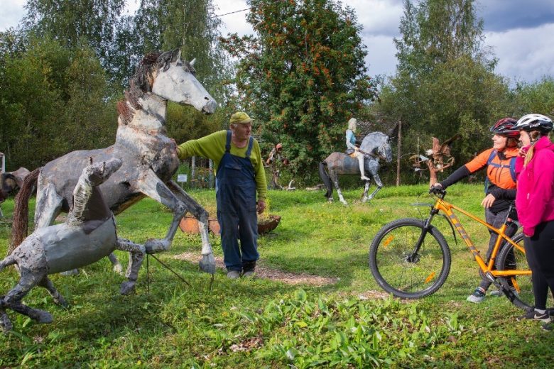
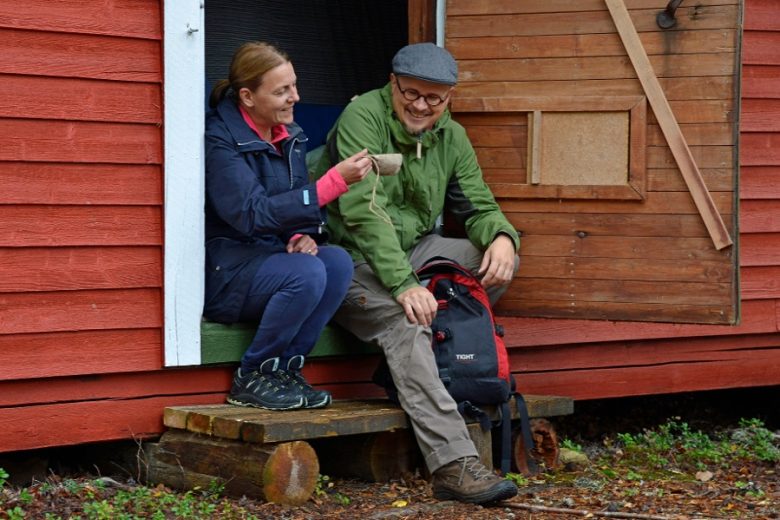
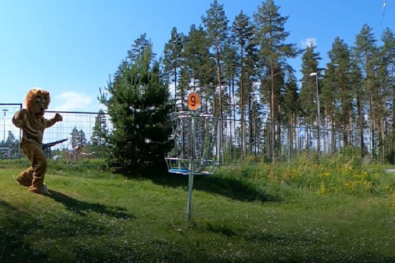
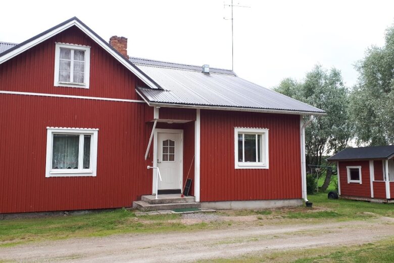
Geopark route South Ostrobothnia
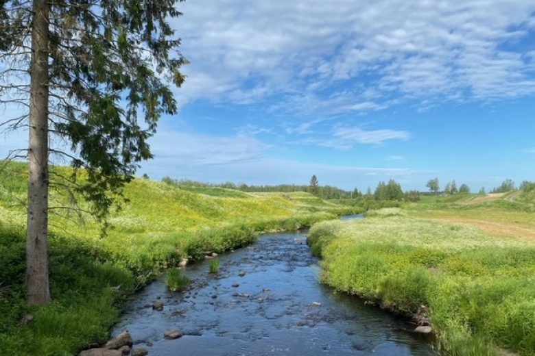
A 180 km cycling route that follows the plains and river valleys, passing through drainage divide region mires and hills. Starting at the Kauhajoki bus station, the loop route connects the area's services and sights and takes you to the finest geological attractions in southern South Ostrobothnia.
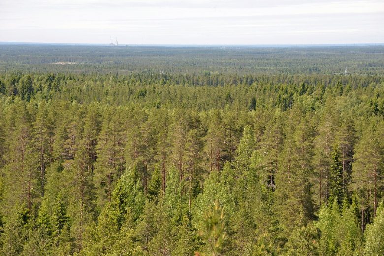
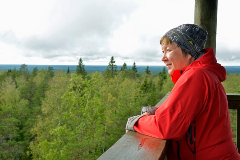
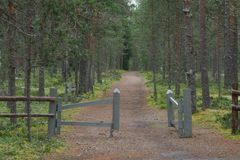
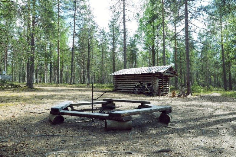
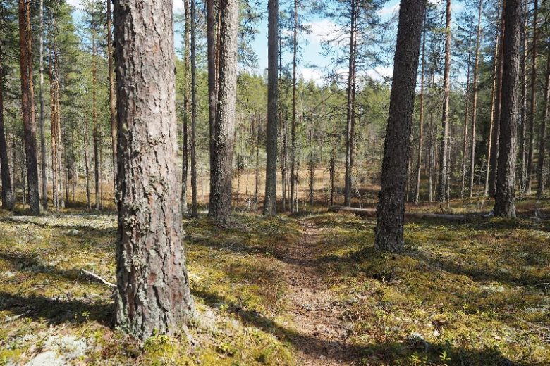
The route features two national parks: Lauhanvuori and Kauhaneva-Pohjankangas. The section of the road running through Lauhanvuori National Park rises to the highest point in the Geopark area and is open year-round. Access to the Kauhaneva-Pohjankangas National Park is possible from Nummikangas and Salomaa. The section through Kauhaneva of the medieval Kyrönkangas road is only passable by bicycle or foot and offers an alternative route during summer.
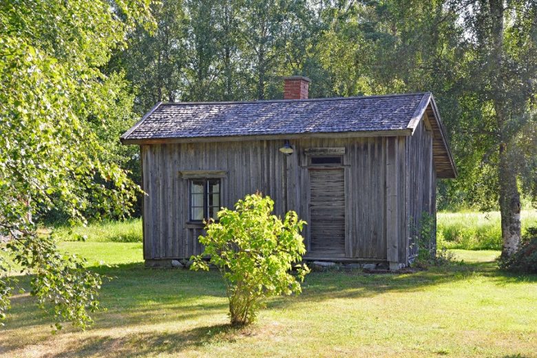
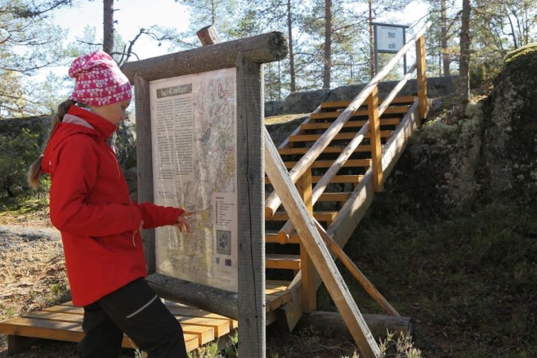
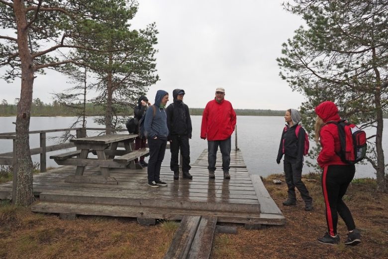
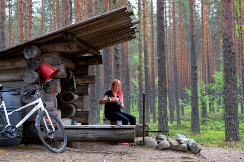
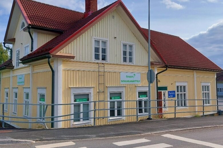
Other Geopark points on the route include Hyypänjokilaakso, Susiluola, and Iso-Kakkori. The route passes through the urban areas of Kauhajoki, Karvia, Isojoki, and Karijoki.
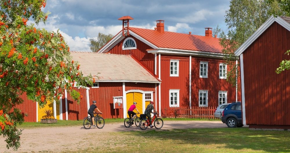
The recommended direction is clockwise. The route is a loop, mainly on durable paved and good quality gravel roads. The route is digitally guided by a GPX track available on Outdooractive.


More about the route
Plan your trip
From the parking area, head toward the roundabout located east of Topeeka and cross Topeeka via the pedestrian crossing, turn left, ride along the light traffic route, and at the roundabout turn right. Continue to the light traffic bridge crossing Kauhajoki and cross the river.
Continue along the park road and after about 100 m go straight at the intersection. After about 100 m you will reach a T-junction. Turn right and immediately right again onto Sussoonkuja. Continue about 400 m and then join Hyypäntie and continue about 700 m south, turn left onto the light traffic route, continue about 400 m and then turn right. Cross the road intersection and continue straight along the light traffic route for about 4 km.
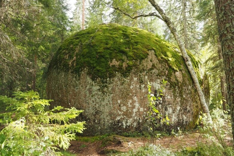
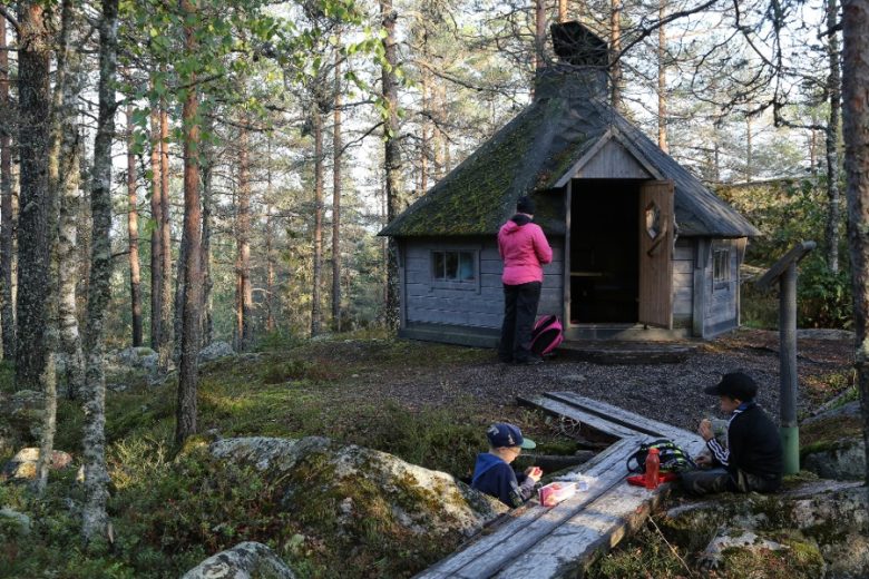
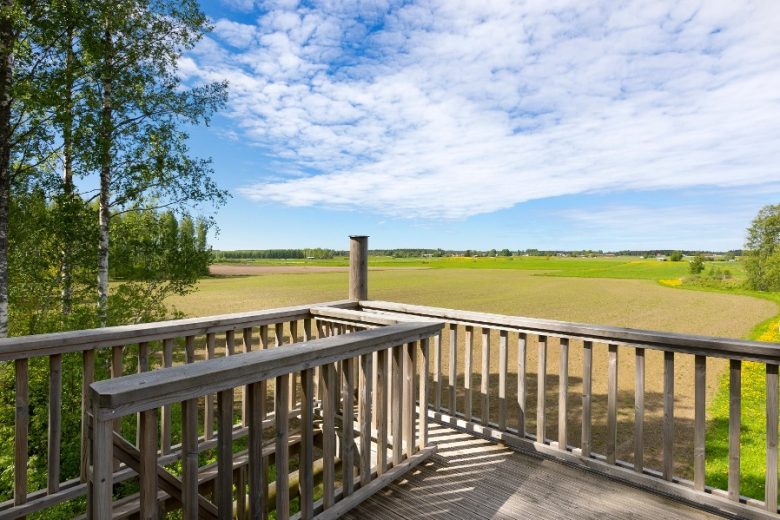
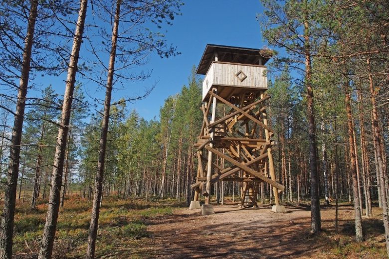
When road 44 turns towards Kankaanpää, turn right and follow the road for 200 m. Then turn left onto Jokimäentie towards Hautalankylä. On the left side of the road at the intersection is the landmark Hämes-Havunen. Continue along Jokimäentie for 13 kilometers to Hautalankylä. At 10 km there is an option to detour right to the Hyypänjokilaakso lookout tower, about 700 m from Jokimäentie along Pantintie.
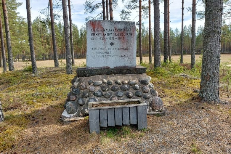
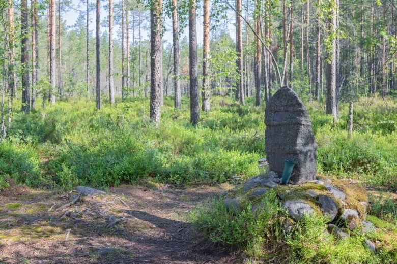
In Hautalankylä the road name changes to Hautalankyläntie, continue straight for about 1.3 km and then turn left towards Nummijärvi. Continue about 6 km along Kivijärventie, then turn left at the intersection with Nummilahdentie. Continue about 6 km along Nummilahdentie, then turn right onto Nummijärventie. Continue about 6 km. The route passes through the village of Nummijärvi. After the village, the road name changes to Karviantie, continue along it for the next 10 km. At 1.2 km along Vatka, on the right side of the road are the sights Lapinkaivo and Lapinharju and the famine memorial.
At 1.7 km, Kauhanevantie branches off to the right, which is part of the medieval Kyrönkangas road. Kauhanevantie and the part of Kyrönkankaantie in Karvia are alternative routes towards Karvia via Elliharju. The section over Kauhaneva can only be traveled by bicycle and the route is passable only when the ground is unfrozen.
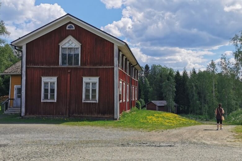
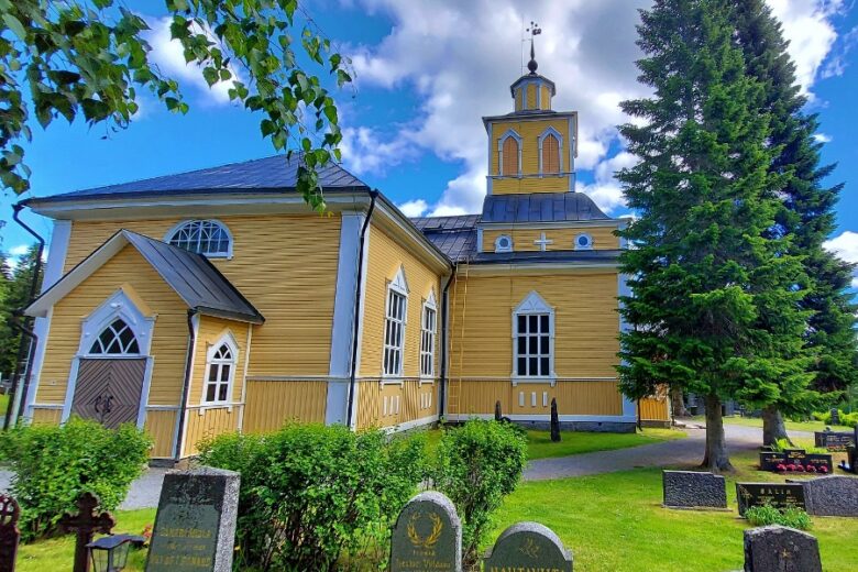
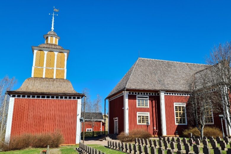
At the Karvia municipality border, the road name changes to Ämmäläntie, continue 9 km. Reach a T-junction, move to the light traffic route, cross Sarvelantie and continue on the light traffic route to the right towards Karvia village center. About 3 km later, Karvia church is on the left side of the road.
The route continues from Karvia towards Kantti along the light traffic route. In Kantti, the route moves for 1 km alongside Karviantie, but then returns to the light traffic route. The light traffic route ends at Kauraharjuntie. Turn right and follow Kauraharjuntie for 200 m. After the Kantti barns turn right, cross the bridge over Karvianjoki and continue forward. About 400 m after the river, turn left at the intersection onto Skanssitie. Continue about 4.5 km until at the municipal border the road name changes to Aunesluomantie. Continue about 8.5 km.
At the four-road intersection in Jyllinkoski, turn right onto Jyllinkoski village road and continue 3 km. Arrive at the intersection with road 44, turn right and continue road 44 towards Kauhajoki about 6 km. Then turn towards Lauhanvuori National Park according to signs in the village of Muurahainen and continue Lauhanvuorentie 17 km to Isojoki.
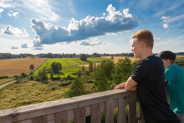
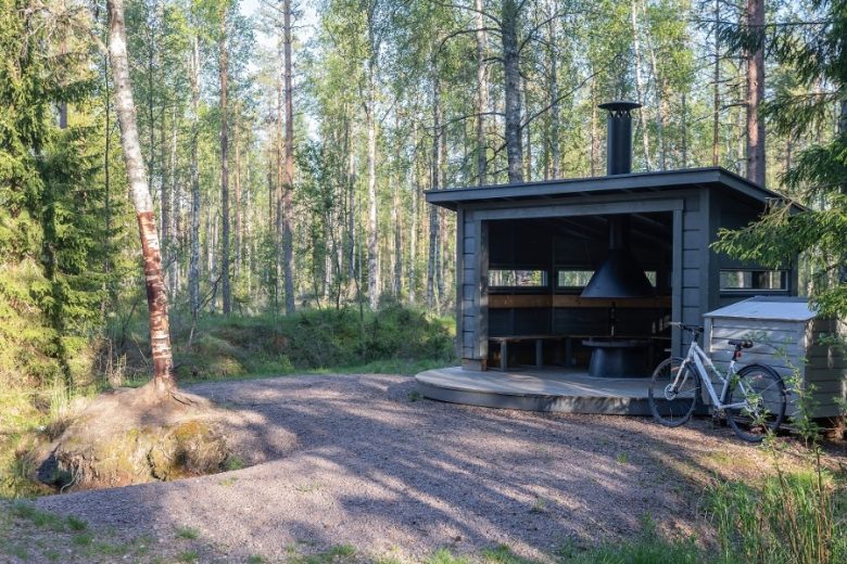
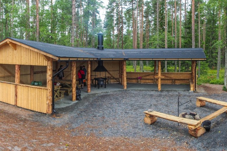
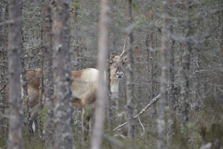
The road crossing Lauhanvuori rises about 230 m above sea level and is the highest point in the area. The summit is about 5 km from Muurahainen. From the summit about 1.5 km towards Isojoki, on the left side of the road are signs to Spitaalijärvi, one of the national park's most popular attractions. About 1.7 km further, on the right side of the road, a road leads to the Lauhanvuori forest reindeer enclosure. About 1.9 km further, signs to Kivijata on the left side of the road. About 500 m further, signs to Aumakivi on the left side of the road. About 1.7 km further on the right side, the Lauhansarvi nature tourism center. About 1.4 km further on the right, signs to Kangasjärvi camping area.
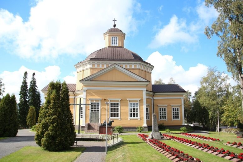
Upon arriving at Isojoki, turn right and continue along the light traffic route to Isojoki village center, about 1.3 km later the church is on the left side of the road. The route continues along the light traffic route about 2 km until it crosses the Kauhajoentie intersection and moves onto Kristiinantie. Continue the route 14.5 km to the municipal border, where the road name changes to Isojoentie. Continue 2 km and turn right towards Karijoki.
Continue along Alakyläntie, about 1 km later arrive at the bridge crossing Isojoki. From the bridge continue 8 km towards Karijoki, then turn left onto Riitaluhtantie and continue 1.3 km. Turn left onto Dagsmarkintie and continue about 1.5 km to Karijoki village center. Upon arrival, turn left at the intersection for the connection to Susiluola. The route continues right along a light traffic route on the left side of the road. About 400 m along the road on the right side is the Susiluola visitor center.
From the Susiluola visitor center, the route continues along Kauhajoentie. The light traffic route ends at an intersection about 300 m ahead. Turn left at the intersection for the connection to Karijoki church. The route continues straight along Kauhajoentie about 10 km. At about 3.3 km along this section, turn left for the connection to Iso-Kakkori.
When the route reaches the municipal boundary, the road name changes to Karijoentie. Continue about 4.3 km, then turn left onto Keturinkyläntie. Continue about 6.8 km. In Päntäne village center the road name changes to Päntäne local road. Continue about 1.7 km then turn right and about 100 m later left onto Päntäneentie. Continue about 5 km, the route shifts to the light traffic route on the left side of the road.
Along this section, about 2.6 km later on the right side of the road is the Parjakanneva 1808 battle memorial. At the start of the light traffic route on the left side is the Samelinlakso battle memorial.
The route continues along the light traffic route about 3 km. Arrive at an intersection, cross Teknologiapuistontie, turn right, cross Topeeka, turn left and follow the light traffic route about 200 m and take the right branch towards Kauhajoki church. From the church continue along Topeeka about 100 m, with Kauhajoki local history house on the right. Continue about 350 m, where on the left side is the parking area for Kauhajoki bus station. Cross Topeeka before the roundabout and reach the route endpoint.
Bus connections to Kauhajoki from Seinäjoki and Pori, among others. Bicycle transport must be reserved in advance through Matkahuolto.
By roadFrom the north, take road 67 from Seinäjoki to Kauhajoki Aronkylä, turn onto road 44, continue 2.8 km, turn right onto Lellvantie, continue 1.1 km, turn left onto Topeeka and continue 850 m, destination on the right.
From the south, from the direction of Pori take road 8 north, about 55 km north of Pori turn right towards Kauhajoki. Continue to Isojoki and follow signs to Kauhajoki. In the center near the Church, turn right and continue along Topeeka. About 500 m later, destination on the left.
From the south, from Tampere direction take road 3 to Parkano, from the northern side of the center follow signs to Karvia. From Karvia continue through the village center to Kauhajoki following signs, from the Karijoki junction onto connector road 663, continue 1.3 km and turn right towards the center. After about 400 m turn right at the junction near the church and follow Topeeka about 500 m until the destination is on the left.
ParkingFree
www.lhgeopark.fi
Along the way


Similar routes nearby