Huidankeidas path in Honkajoki
The route leading to the edge of Huidankeidas takes you from the parking area to the edge of the mire area and then climbs stairs onto the mire itself. The beginning of the route passes through a plantation-dominated commercial forest landscape, while the latter part goes through the edge forests of the Huidankeidas mire area. The area's nature and vegetation still show the impact of the great forest fire between Isojoki and Honkajoki. The area burned completely in 1959, in the second largest forest fire in Finland's post-war history.
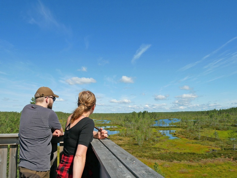
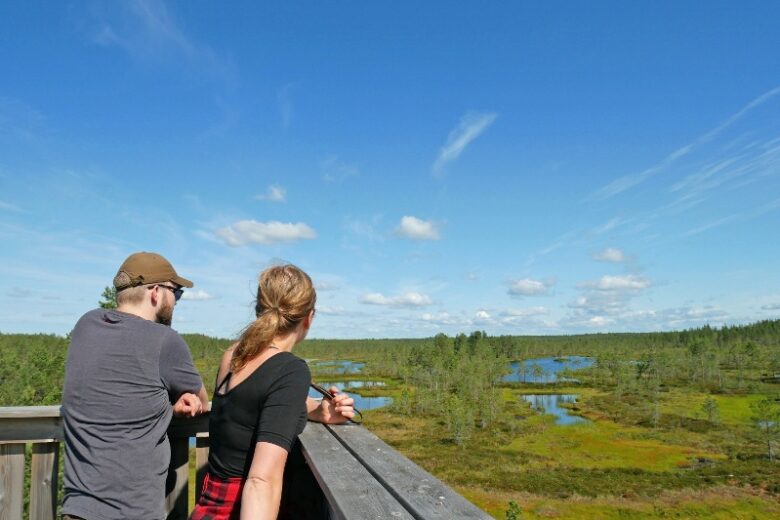
At the end point of the route, Huidankeidas, there is a birdwatching tower. There are no other resting facilities on the route. Return via the same route back to the starting point.
Stay on the route - near Huidankeidas there is a restricted area where movement is prohibited from April 1 to July 15 to protect the nesting birds' peace.
The route is marked with signs. Guidance is supplemented by a GPX route trace available on Outdooractive. The route and area service structures are maintained by Metsähallitus.

More about the route
Plan your trip
No public transport.
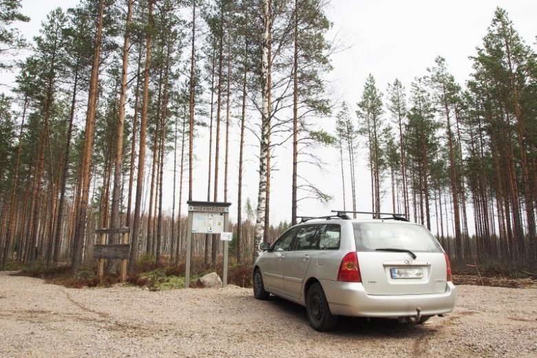
By roadRoadside signs to the Huidankeidas parking area from the Honkajoki - Siikainen road.
ParkingFree
Similar routes nearby