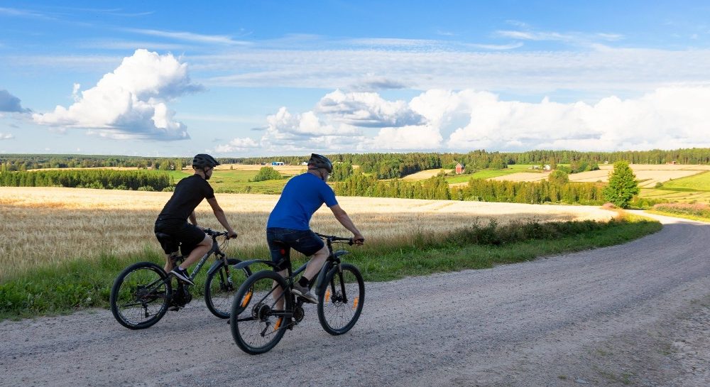
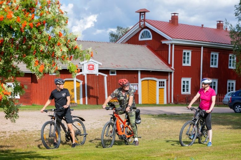
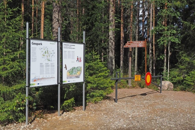
Hyypänjoki Valley cycling route
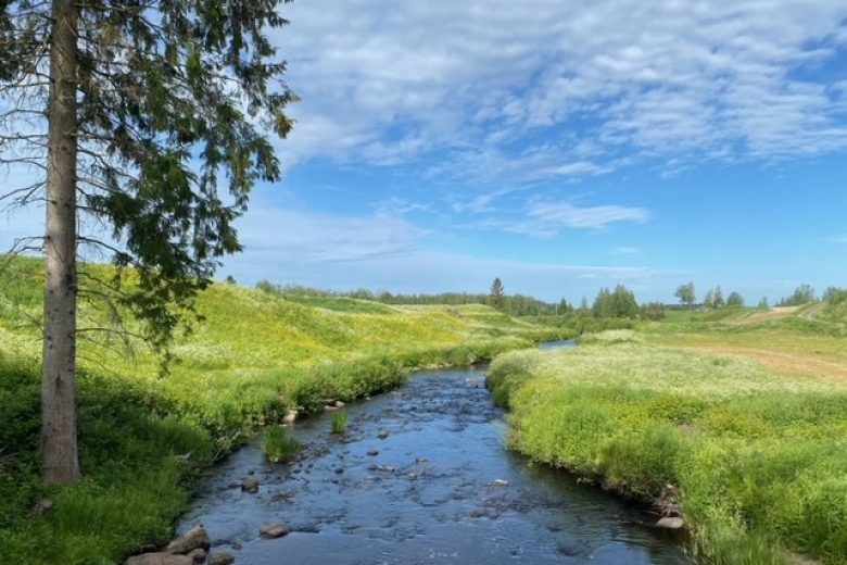
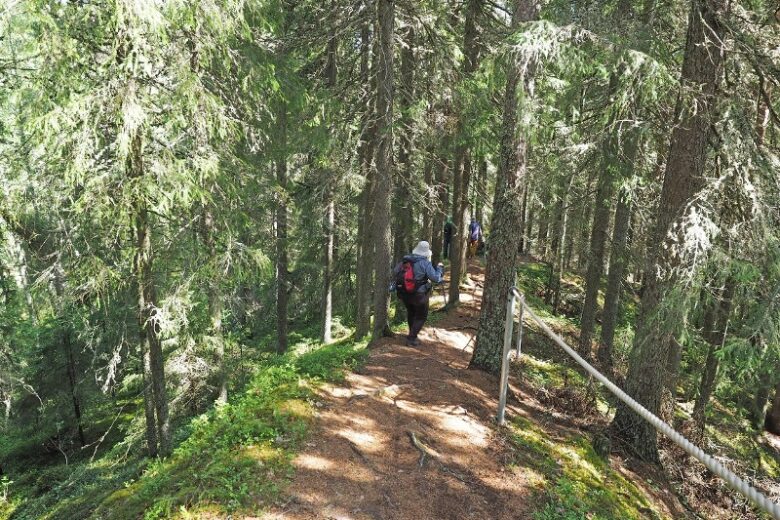
The Hyypänjoki Valley cycling routes pass through varied terrain on village roads, field and forest roads, and paths. The route is marked with posts in a green identifying color and arrow signs. Guidance is complemented by a GPX track available on Outdooractive.
The routes can be used under everyman's rights, at your own risk. There is no winter or summer maintenance on the routes.


More about the route
Plan your trip
From Hämes-Havunen, head towards Jokimäentie and turn left. Continue on Jokimäentie for about 5 km, then turn right at the intersection onto Korhoskyläntie. Continue about 1 km until you reach a three-way junction, where you turn left. Continue about 80 m to the next fork, where you turn left again. Continue on the road for about 1 km until the main road ends.
From the end of the road, continue on a field road for about 200 m and turn left along the edge of the forest. Follow the field road along the forest edge for about 500 m and then cross a field clearing via the field road. Arrive at the edge of Jokimäentie, turn left, and continue about 850 m, then turn right near Jokikylänmäentie 157. Continue on a forest road for about 250 m, cross the Kauhajoki River, and continue about 50 m to Hyypänmäentie, where you turn left.
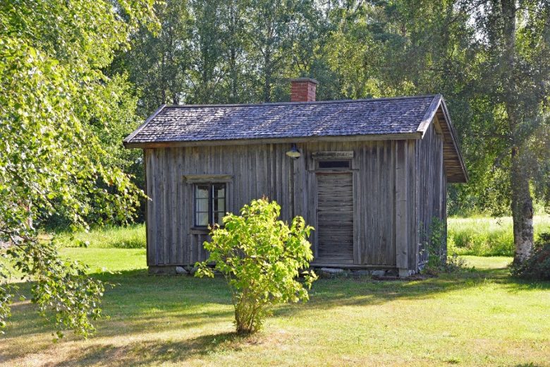
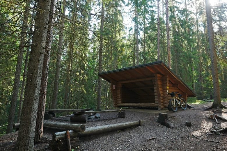
Continue on Hyypänmäentie for about 400 m and turn left. Follow the cart path for about 500 m until you reach the Teevahainen ski trail. Follow the trail markings along the ski trail for about 1 km and arrive at Hyypänmaja, where there is a kota (hut) and a dry toilet.
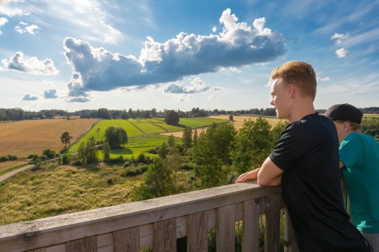
From Hyypänmaja, continue following the route markings. After about 400 m, turn right. Continue about 600 m and turn right before a steep-edged creek bed. Continue about 300 m, pass a farmhouse, and continue about 200 m. Reach road 44, turn left. Follow road 44 for about 800 m and turn left onto Pantintie. Continue about 950 m until the Panttikylä observation tower is on the left.
From Panttikylä observation tower, continue along Pantintie for about 400 m and turn right onto Kakkorintie. Continue about 500 m and continue straight onto a field road. Follow a section of about 2.4 km featuring varied field and forest landscapes, ending at Hautalankyläntie.
Cross Hautalankyläntie and continue on Rajaluomantie for 1.5 km. The road ends at Hautalankyläntie. Turn right and continue about 900 m on Hautalankyläntie. The road name changes to Kiviluomantie, which you follow for about 4 km until the Katikankanjoni parking area is on the right, where the route ends.
From the Katikankanjoni parking area, there is about a 300 m walk to the Katikankanjoni lean-to along an old forest road. It is also possible to continue towards Nummijärvi via the Nummijärvi - Katikankanjoni route. Return to Hämes-Havunen via the same route or alternatively by the main road. Pickup from the Katikankanjoni parking area can be arranged.
No public transport available.
By roadFrom the north to Kauhajoki via main road 67, turn onto road 44 and continue about 8 km. After the intersection turning towards Kankaanpää, turn left after about 200 meters and immediately left again to the Hämes-Havunen parking area.
From the south on road 44 from Kankaanpää to Kauhajoki, turn right about 200 m before a T-junction and immediately left to the Hämes-Havunen parking area.
From the south on road 3, drive to Parkano, turn towards Karvia and follow signs for Kauhajoki. About 16 km after Nummijärvi, turn towards Kankaanpää and after about 200 meters turn left and immediately left again to the Hämes-Havunen parking area.
ParkingFree
Similar routes nearby