Isojoki gravel road cycling route
Also known as Isojoki mountain bike route, the route mainly follows gravel village roads and forest driveways. There are no actual off-road sections on the route. There are several side and even wilderness sections where mobile network coverage is weak, so it is advisable to carry first aid supplies, food, and bicycle maintenance tools with you.
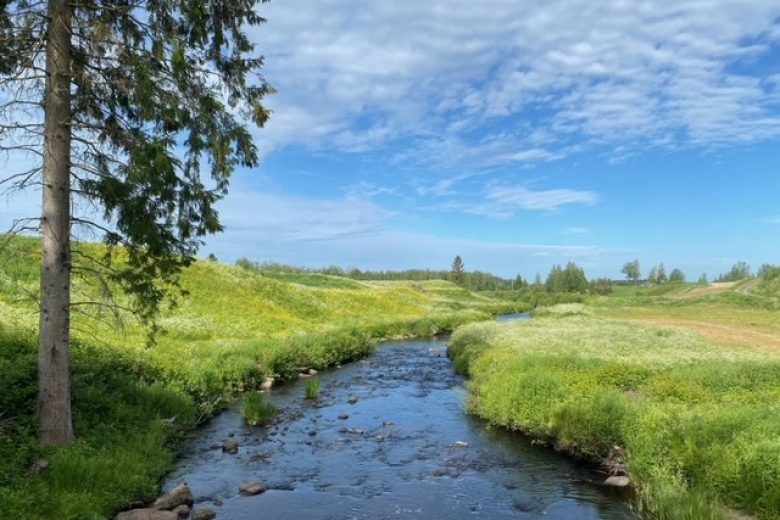
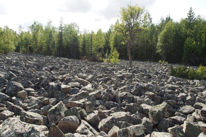
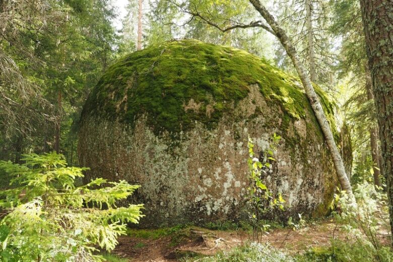
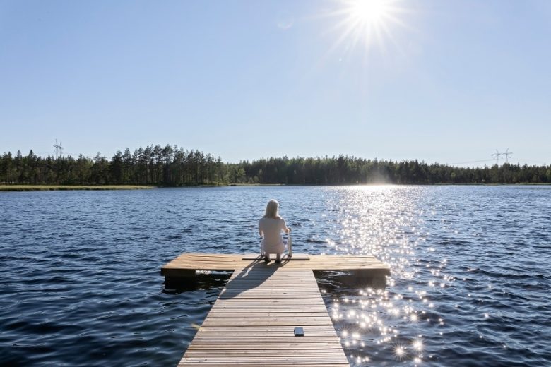
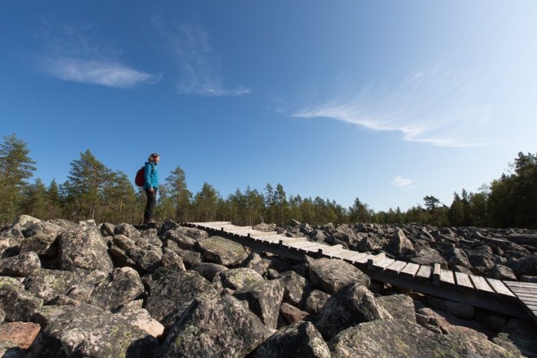
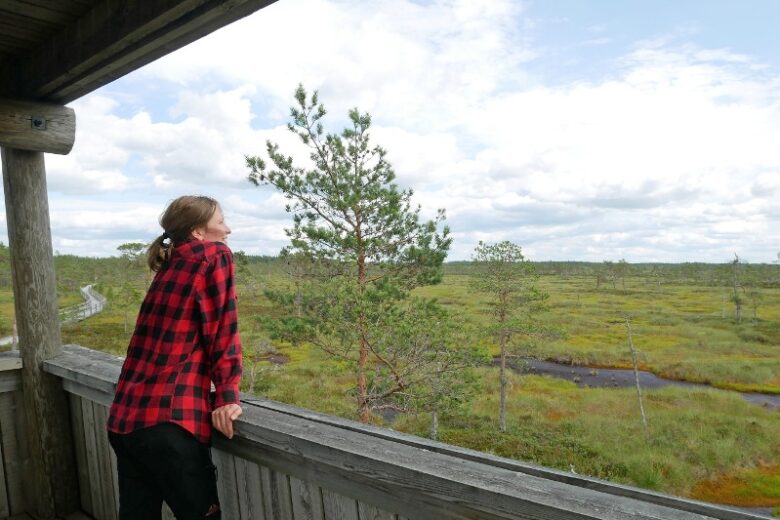
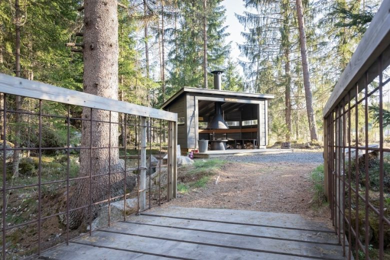
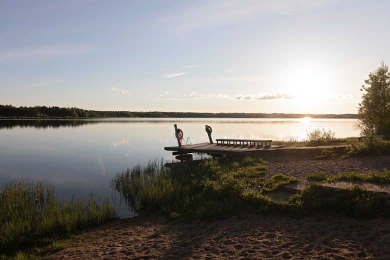
In the northern part of the route, there are several restaurant and travel services, while in the southern part, there are none. The sights along the route include, in addition to the Lauhanvuori National Park sites, the accessible nature trail at Mustansaarenkeidas and several rest areas maintained by village associations. There are also several beaches on the route.
The route is maintained by the municipality of Isojoki. The route is marked with signs and route markers in the terrain. Guidance is complemented by a GPX track available from Outdooractive.


More about the route
Plan your trip
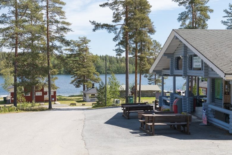
Head north along the light traffic route following the right side of Kristiinantie. After about 900 m, turn right onto Poppelikujalle and continue about 300 m. The road name changes to Kangasjärven metsätie. Continue on this for about 4.5 km and then turn left. Continue on Kangasjärventie for about 1.9 km. On the right is Kangasjärvi camping area.
Continue straight on for 1.8 km and turn right. Continue on Leppikyläntie for 7.5 km and then turn left onto Vaarainhaudan metsätie. Continue on it for about 3 km. Turn right onto Lauhanvuorentie and continue it for about 1 km. On the left, signpost to Kivijata. The route continues on Lauhanvuorentie for about 500 m, then there is a signpost to Aumakivi to the left. The route continues on Lauhanvuorentie for 1.4 km and then turns left onto Lahdentie. Lauhanvuorentie leads to a connection to Lauhansarvi nature tourism center.
Continue on Lahdentie for about 1 km, then turn left. Continue on Sarviluomantie for about 1.7 km. The road changes to Sarviluoma - Näätäluoma metsätie, which continues for about 2.5 km. Then turn right onto Kuusikosken tie and continue about 3.5 km. Turn left onto Iivarinkyläntie, continue about 350 m, and then turn left onto Ristiharjuntie. Continue about 2 km and turn right onto Honkajoentie. Continue it for about 300 m and then turn left onto Kodesjärventie. Continue it about 1.3 km, and on the right is a connection to Kodesjärvi beach. Continue on Kodesjärventie for 1.7 km and turn right onto Vanhanmaantie. Continue for about 550 m and then turn left.
A rather long forest road section begins. Follow Kitunevan metsätie for about 7 km – there are several intersections on this section, so it is important to follow the GPX track or map. At Varsaharju, choose the crossing drive to the right. After Kitunevan metsätie, turn right onto Pökkelistön metsätie, follow it for about 1.3 km, then turn left onto Kolmihaaran metsätie, follow it about 4 km, until the road name changes to Myllykoskentie. Follow it for about 4.5 km. You arrive at the intersection with Piikkilänkyläntie, where the forest road section ends.
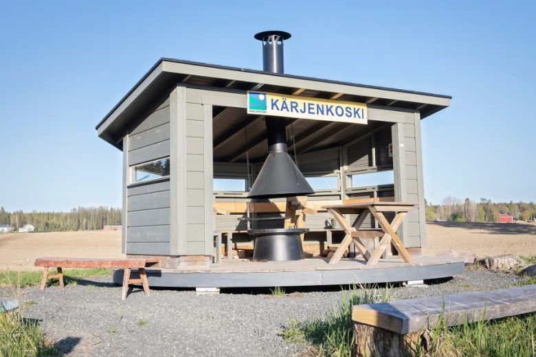
Turning left leads to Mustansaarenkeidas. The route continues to the right and turns left onto Suojoenkylätie after 150 meters. Continue it for 4.2 km and turn left. Follow Suojoentie for 1 km and then turn right onto Tarmaantie. Continue for about 5 km. Turn left onto Vesijärventie and go on for 6 km. Turn right onto Kärjenkoskentie, continue about 2.5 km and then turn right onto Eteläjärven metsätie. Follow the route’s second long forest road section.
Continue on Eteläjärven metsätie for about 6 km until the road changes to Rimpikankaan metsätie. Continue it for about 4.5 km. Turn right, continue on Rimpikankaantie about 1 km, then turn left onto Konkarinharjun metsätie. Continue it 1.7 km, then turn right and follow the forest road about 2 km, after which the second long forest road section ends.
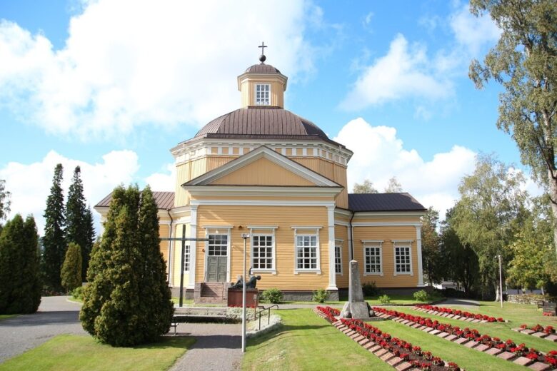
Turn right and continue 1.2 km on Junttilantie, then turn right onto Pihlajanpuolentie and continue about 1 km. Then turn left and continue about 1.3 km to the end of Tuomaalantie, turn left and continue on the light traffic route about 700 m until you reach Isojoki center, at the church.
Bus connection to Isojoki. Arrangements for bicycle transport must be made in advance with Matkahuolto.
By roadBy car according to the signs to Isojoki center.
ParkingFree parking at the church parking area.
Along the way

Similar routes nearby