Koivistonkierto at Hämeenkangas
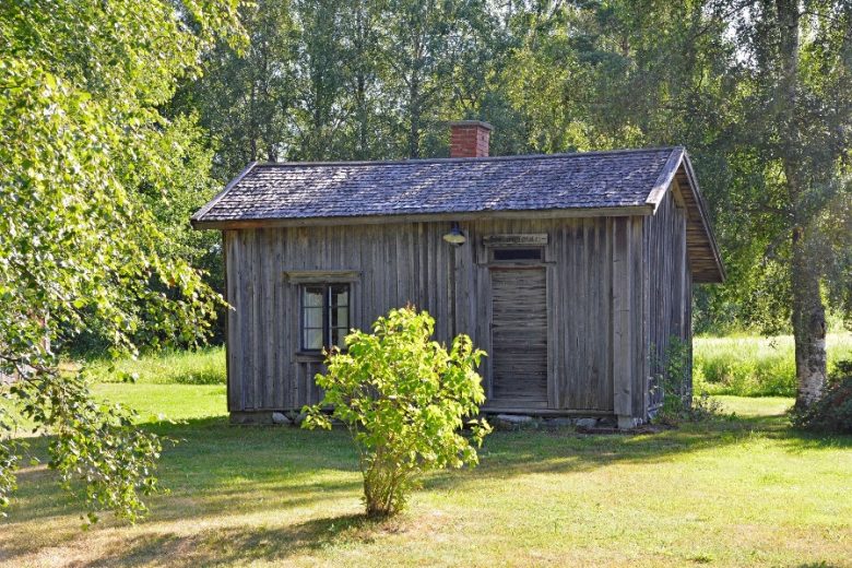
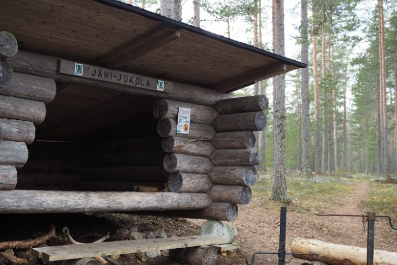
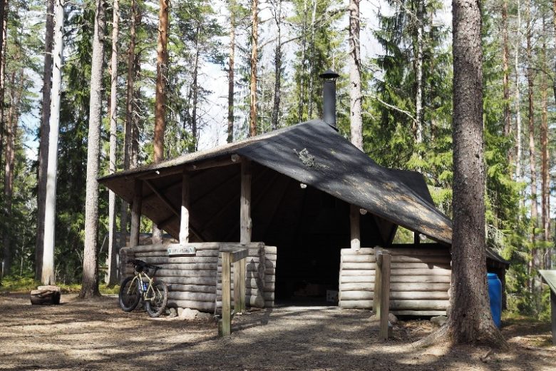
Easy circular route from Niiniharju in Hämeenkangas to the shore of Koivistonvati and back. The route is easy to walk and runs mostly on the upper plateau of the Hämeenkangas ridge. Along or near the route are several constructed resting places; at the camp school lean-to shelter, overnight stays are possible if needed. The Koivistonkierto circuit can be walked as an independent loop starting from Niiniharju or as a figure-eight together with the Ridge Nature Trail, from which the route can be started at Jämi.
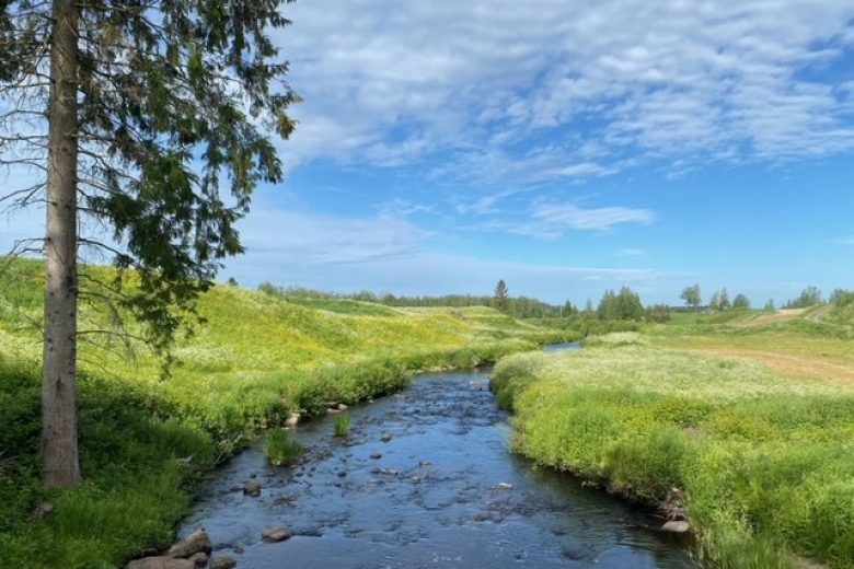
At the starting point of Koivistonkierto in Niiniharju grow reportedly Finland's northernmost forest elms. Koivistonvati is the largest kettle hole in Hämeenkangas, a depression formed by the melting of a glacier buried under sand and gravel.
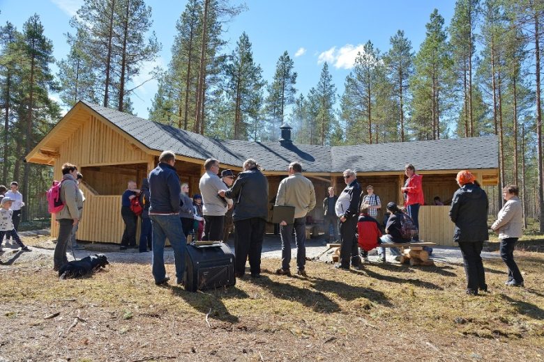
The Metsähallitus, Järvi-Suomi nature services maintain Koivistonkierto and its hiking services. Part of the route passes through an area used for forestry.


More about the route
Plan your trip
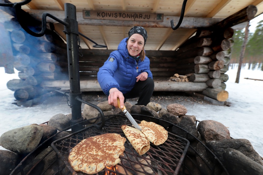
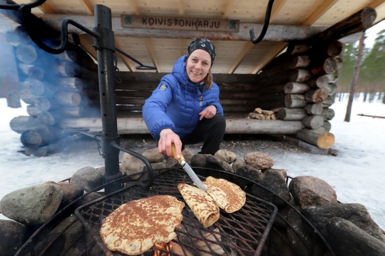
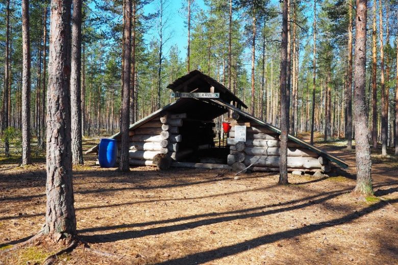
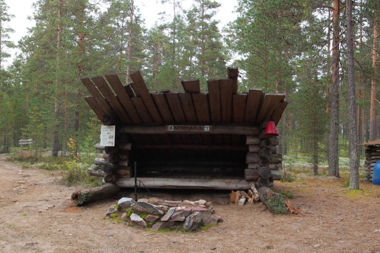
Follow the signs in front of the Kota to the route. The route crosses the Pirkan trail about 50 m from the Kota, and continues forward about 150 m along the same track with the Ridge Nature Trail, then turns right. Follow the route markings. About 1 km ahead the route crosses a forest road. 800 m from here the route arrives at the Camp School lean-to shelter and Koivistonvati cooking shelter. The route circles the cooking shelter and turns south. From the shelter, there is a possibility to detour to Koivistonvati itself.
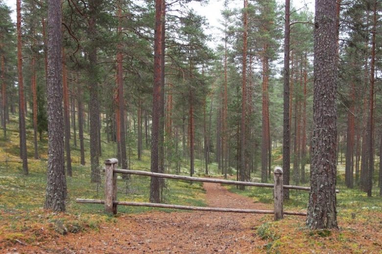
Continue past the cooking shelter and through the toilet building about 150 m until you reach a gate. After the gate, turn right and follow the route signs. About 1.1 km ahead the route crosses the Pirkan trail again and continues along the upper edge of the southern slope of Hämeenkangas. About 350 m ahead the route crosses a forest road. From here the route continues about 800 m back to Niiniharju Kota, where it ends.
No public transport.
By roadFrom Jämijärvi, follow signs to Hämeenkangas; about 1 km from the Jämi road intersection, after Jämi Adventure Park, turn left from the top of the hill and continue about 1.6 km to the end of Rinnetie road. Parking area at the end of the road.
ParkingFree of charge.
www.luontoon.fi
Similar routes nearby