Lauhanvuori circuit
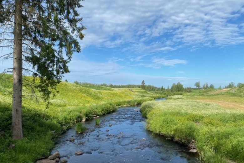
The Lauhanvuori circuit runs in Lauhanvuori National Park and its surroundings as a circular route of about 23 km, showcasing the area's varied nature and geology. The route mostly travels through dry heath forest terrain, crossing mires on boardwalks. At the beginning and end parts, the route also diverges onto forest and village roads.
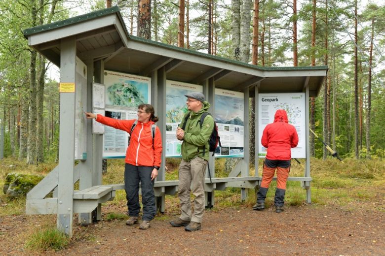
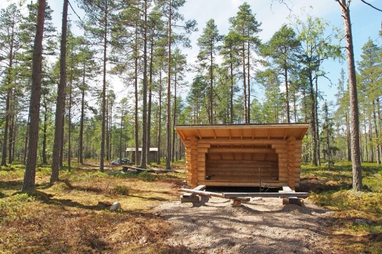
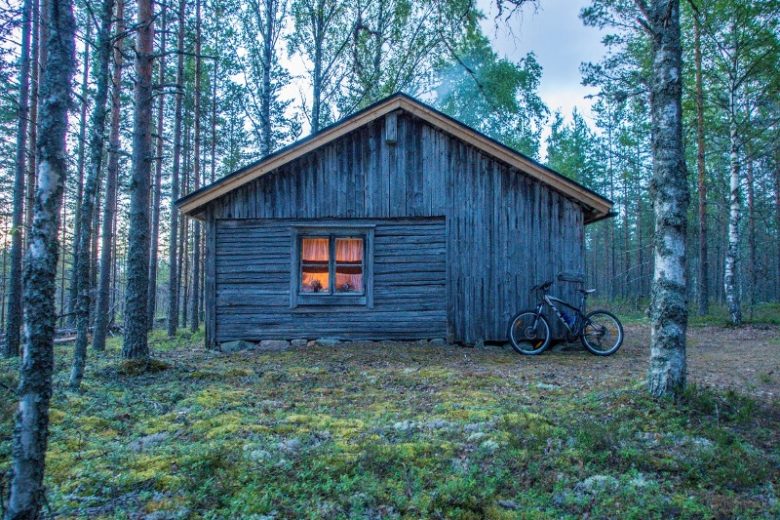
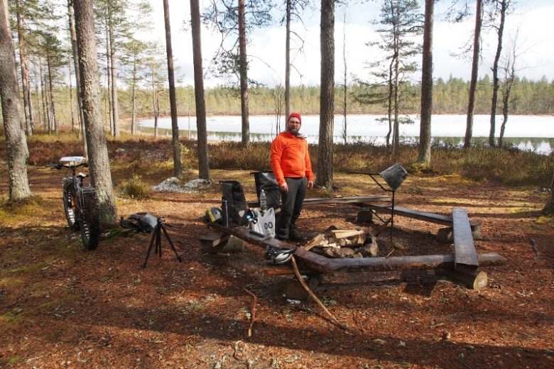
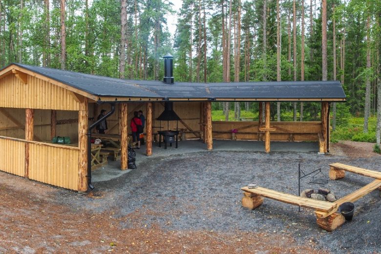
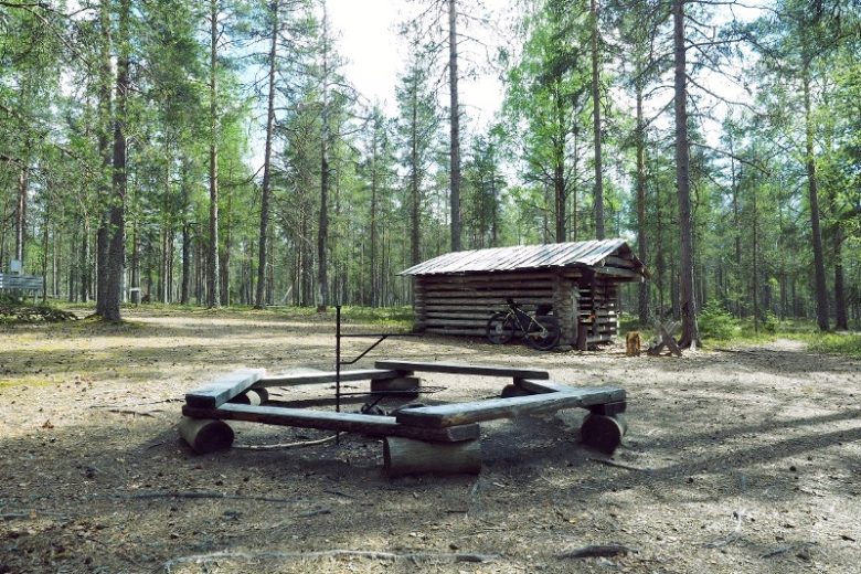
The route partly follows the Terassikierros and Pirunkierros routes - these sections are marked with violet and green route markers. Other sections are marked with white route markers. The route is primarily signposted digitally, but is also navigable using a map. Along the route are rest spots suitable for overnight stays: Kaivolampi, Lauha rental cabin, and Spitaalijärvi. A short detour from the route leads to the Kärkikeidas day hut and Leikkistenkangas lean-to.
The sections within Lauhanvuori National Park are maintained by Metsähallitus. The sections outside the national park are maintained by the municipality of Isojoki.


More about the route
Plan your trip
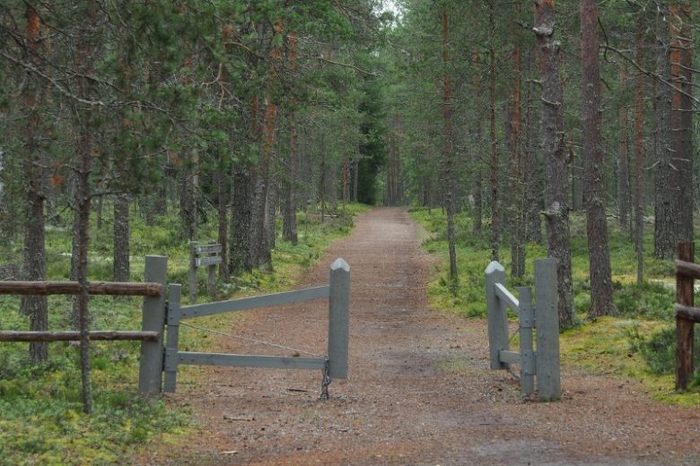
The route starts from the eastern end of the parking area, where there is guidance to the route. Follow the signs to the path. After a short transfer, you reach Leppikyläntie, which is followed north for about 200 m. The route turns right and continues through forest and field landscapes for about 1.3 km until it reaches a junction of paths. From the junction, continue straight for about 1.4 km following the signs, then turn right onto Vaarainhaudantie. After about 100 m of road section, turn left onto a small forest road, which the route follows for the next 700 m. At the end of the road, the route continues as a forest path. After about 400 m, the route reaches the border of Lauhanvuori National Park.
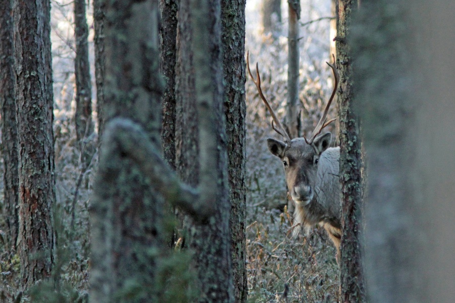
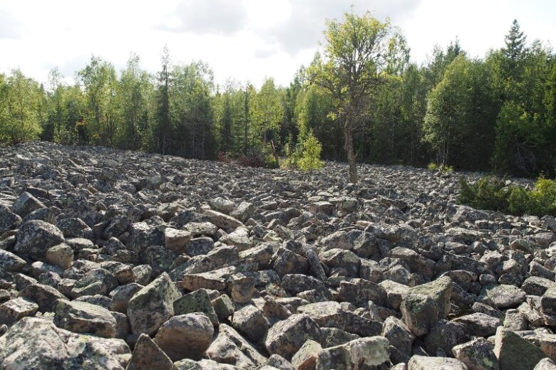
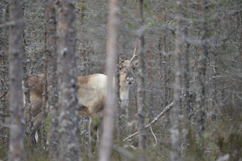
The route continues about 700 m, following old forest ditches for part of the way. At a junction of paths, the route turns left towards the Huhtakorpi spring area. About 200 m later, the route reaches the Huhtakorpi dam and continues from there towards the Huhtakorpi stone row on gravel. About 350 m later, a boardwalk side trail diverges to the right from the route to the Huhtakorpi stone row viewing platform. After the stone row junction, the route continues about 200 m and then reaches the Huhtakorpi forest road. The route follows the road north for about 100 m and then turns right. The route continues east following the forest reindeer enclosure. After about 500 m, the route reaches the maintenance area of the forest reindeer enclosure and then turns left. After about 600 m, the route reaches an old trail base and turns east, after about 60 m on the right side of the route is the Kaivolampi camping area.
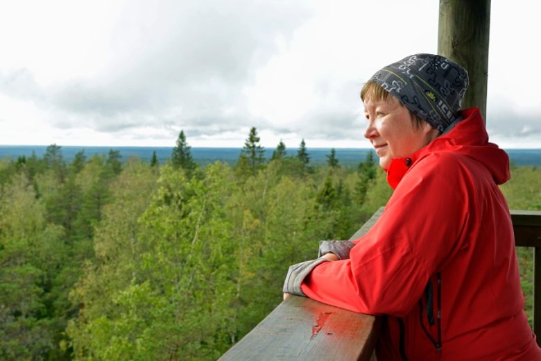
From Kaivolampi, the route continues east about 1.2 km, then turns right at the junction of paths. The route ascends and continues about 1 km to Lauha cabin, where it turns right directly upwards towards the peak of Lauhanvuori. After about 600 m, the route turns right and detours to the Lauhanvuori viewing tower.
From the viewing tower, the route continues following signs towards Spitaalijärvi; after crossing Lauhanvuorentie, the route follows the municipal border first descending straight gently downhill, after about 500 m it diverges from the municipal border and continues as a wide needle path to the lower slope. After about 800 m, the route crosses an equestrian route. From the junction, the route continuing straight reaches the Spitaalijärvi camping area after about 400 m.
From the Spitaalijärvi camping area, the route continues circling the southern end of the lake about 300 m to a junction of paths. To the right is a connection to the Spitaalijärvi camp shelter and beach. The route continues left and after about 100 m crosses cycling routes and an old maintenance road. The route continues west towards Kivijata, reaching the border of the swamp area after about 500 m.
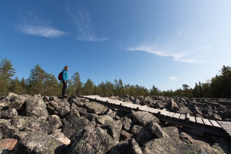
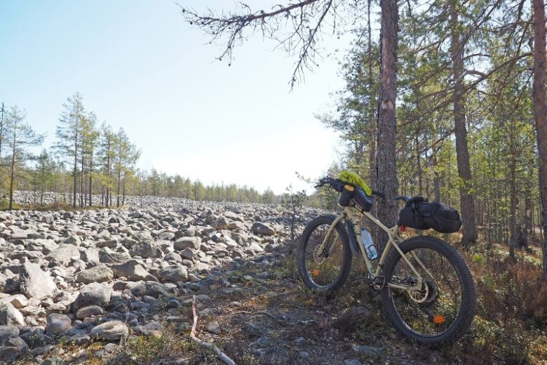
From the edge of the swamp, the route continues as a boardwalk route past the seasonal wetlands of Lauhanvuori to the Peräkorpi spring (about 1.2 km) and from there follows Lohiluoma for about 500 m until after the bridge it diverges from the stream straight west following old shoreline ridges through the middle of the swamps for about 1 km. At Paavonkangas, from the junction of paths it is possible to detour via the Pirunkierros to the Leikkistenkangas lean-to on the left. The route, however, continues straight west, reaching Kivijata after about 1.2 km. Kivijata is crossed by wide boardwalks.
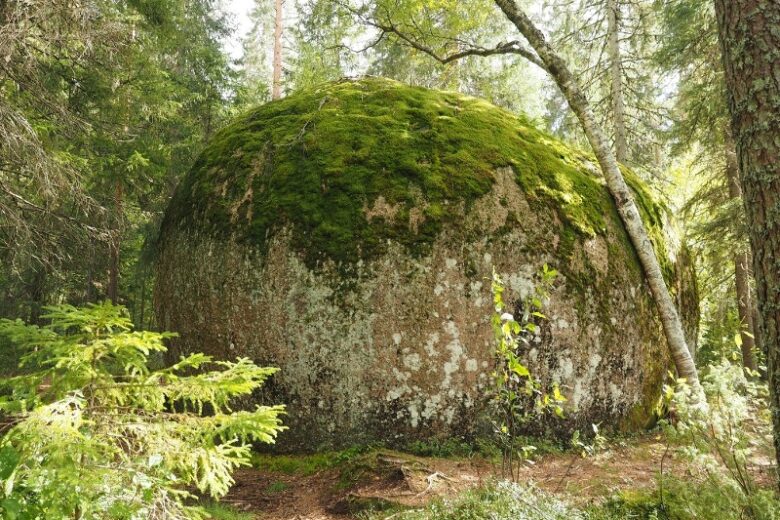
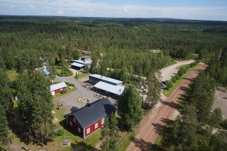
From the Kivijata signboard, the route continues towards Aumakivi, about 1.5 km away. After about 500 m, a forest road is crossed. After detouring to Aumakivi, the route follows an old forest road for about 1 km, then joins Sarviluomantie. The route turns right and follows Sarviluomantie about 1 km to a junction in the village center, from where it turns left. The route continues following the road about 550 m, then turns right and continues following the road for 1.1 km. Upon reaching Lauhanvuorentie, the road is crossed and the route turns left from Leppikyläntie onto a forest path that leads back to the starting point of the trail at Lauhansarvi parking area.
No public transport.
By roadThere is guidance to Lauhanvuori National Park from the Kauhajoki - Kankaanpää road (44) and Honkajoki - Kristiinankaupunki road (664).
From road 44, turn towards Lauhanvuori National Park from the village of Muurahainen and continue along Lauhanvuorentie. The peak of Lauhanvuori is about 5 km, Spitaalijärvi about 7 km, and Lauhansarvi nature tourism center about 12 km away.
From road 664, turn from Isojoki according to the signs towards Lauhanvuori National Park and continue along Lauhanvuorentie. Lauhansarvi nature tourism center is about 5 km, Spitaalijärvi about 11 km, and the peak of Lauhanvuori about 12 km away.
ParkingFree of charge.
see www.luontoon.fi
Along the way
Similar routes nearby