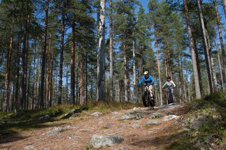
National parks cycling route in Kauhajoki
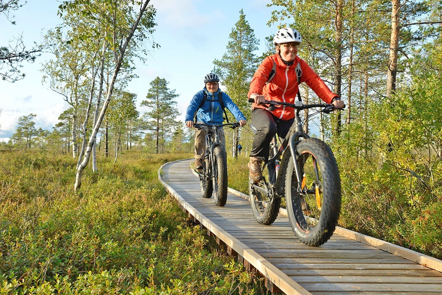
A route following forest roads, cart paths, and quiet country roads connecting the Lauhanvuori and Kauhaneva-Pohjankangas national parks with the landscapes of the Hyypänjoki valley. Perfect for gravel bike, but also passable with mountain or touring bike.
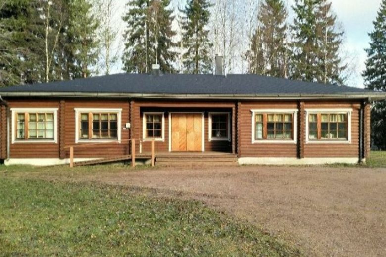
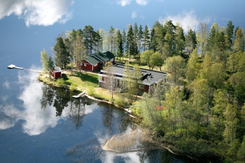
Ride the route as a two-day trip, bring snacks. Accommodation is possible in the national parks with your own lodging or rented cabin. You can also detour and enjoy sauna and overnight at Lauhansarvi. At the start and end point at Nummijärvi camping area, there are restaurant and accommodation services as well as a lakeside sauna.
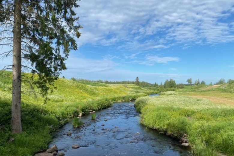
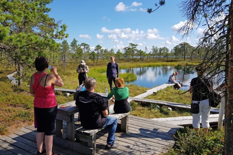
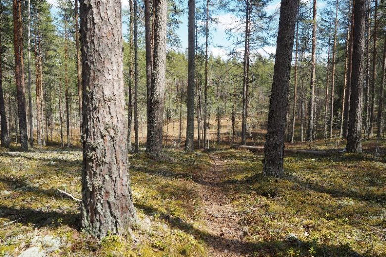
Attractions and good rest stops along the route include Kauhaneva, Spitaalijärvi, the Lauhanvuori tower, and Katikankanjoni. There are four wells and several swimming spots along the route.
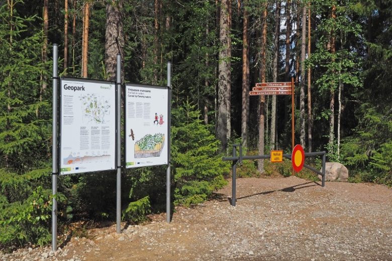
The route is marked with GPX track and on the map. At intersections, there are wooden signposts and on straight sections blue mountain bike route markers, but the route is not rideable based on terrain markings alone.


More about the route
Plan your trip
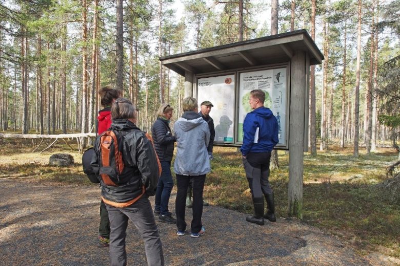
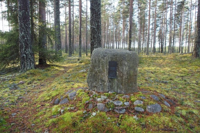
The route starts from the Nummijärvi camping area, which has an open parking lot outside its gate. From the parking lot, head towards Nummijärventie, drive about 350 m and turn right at the intersection. Continue on the paved road for about 1.6 km. On the right, there is the Lapinkaivo depression, Lapinharju ridge, and the famine years monument. From Lapinkaivo, continue about 400 m and turn right towards Kauhaneva. Follow about 5 km of gravel road, which ends at the Nummikangas parking area. The parking area has a toilet and an information point for the Kauhaneva-Pohjankangas National Park.
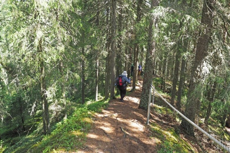
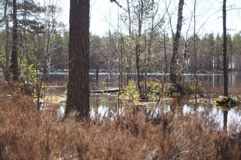
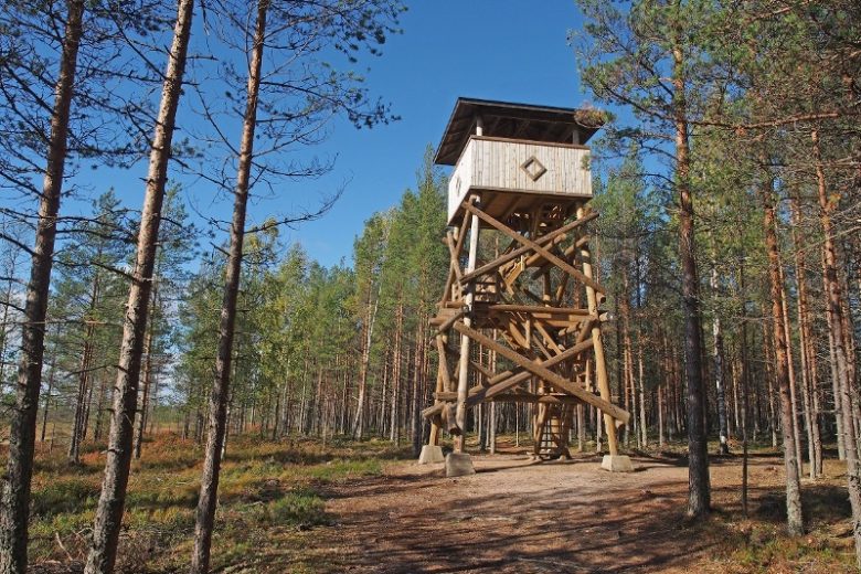
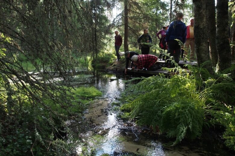
From the Nummikangas parking area, continue to a road section closed to motor vehicles with a barrier. About 600 m from there, on the right, is the Nummikangas campfire site, a well, a lookout tower, and a toilet. From the campfire site, continue along the previously followed road track, which narrows and crosses Kauhaneva. About 400 m ahead, a boardwalk path branches off to the right, leading to the shore of Kauhalampi. The boardwalk route is reserved for pedestrians.
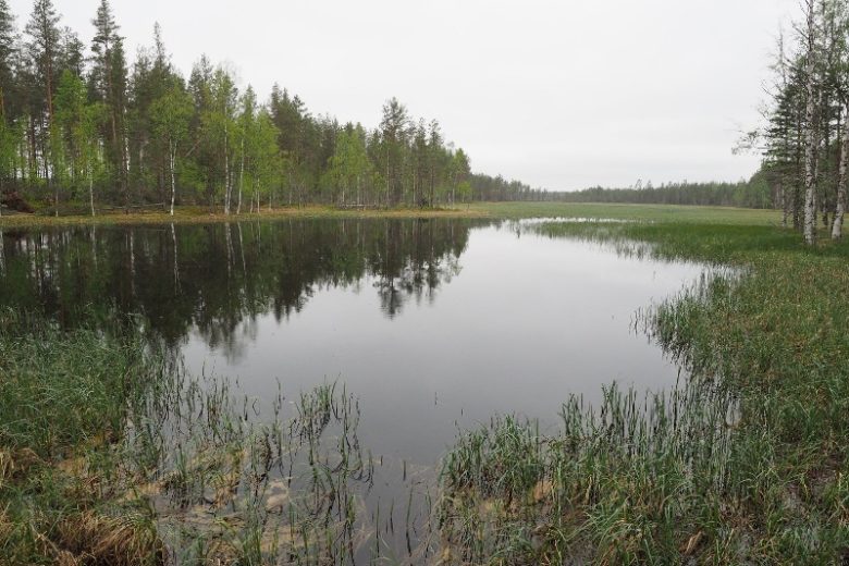
Continue straight at the intersection. The gravelled cart track changes to a wide plank path. About 100 m ahead on the right, there is an accessible viewing platform. The plank path continues for about 400 m until the route moves from the swamp onto dry land. About 800 m ahead, you reach the Salomaa parking area. From here, it is possible to detour right to the shore of Kauhaneva to Salomaa campfire site, which has a half-cabin, a campfire site, and a well as well as tent sites. Salomaa also has a toilet.
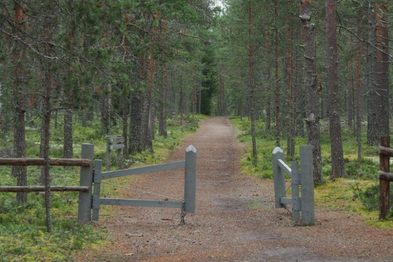
From the Salomaa parking area, continue on Kyrönkankaantie for about 3.5 km to Elliharju, where turn right at the intersection and continue on the main road for about 6 km, then turn left towards Karhukangas. Continue on forest roads for about 8 km and turn right at the end of the road. Continue about 2.7 km on the road and then turn right onto a forest road. Continue about 3.5 km until you reach a T-intersection, where you turn left. After about 750 m, you reach the edge of highway 44. Cross the road and continue according to signs towards Lauhanvuori.
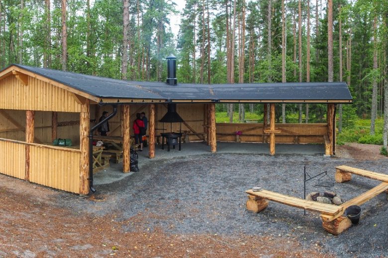
After about 2 km, you reach the national park border. Continue along an old cart track through the park for about 3.3 km until you reach Spitaalijärvi. There is signage from the road track to the Spitaalijärvi lean-to shelter, which is suitable for a rest stop. On the east side of Spitaalijärvi, there is also camping available. Both sites have toilets.
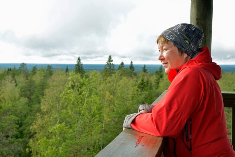
From Spitaalijärvi shelter, continue following the trail towards the parking area and then continue about 650 m to Lauhanvuorentie. Turn right at the intersection and ascend gently to the peak of Lauhanvuori, which is about 1.9 km away. At the peak, there is an opportunity to climb the lookout tower. There is also an information point and a toilet at the peak.
From the peak of Lauhanvuori, the route continues east towards Muurahainen. Continue about 1.1 km and turn left. The route now follows the old Selkätie road. About 1 km ahead is a crossroads of four roads, where a road turns left to Lauhan Kämpä cabin, about 700 m away. The route continues straight along Selkätie. About 1 km later, a barrier road turns left leading to Kärkikeidas day hut, about 400 m off the route. From this intersection, continue straight on Selkätie for about 1.9 km and then turn right at the intersection onto a slightly grassy road track. Follow this track for about 2.4 km.
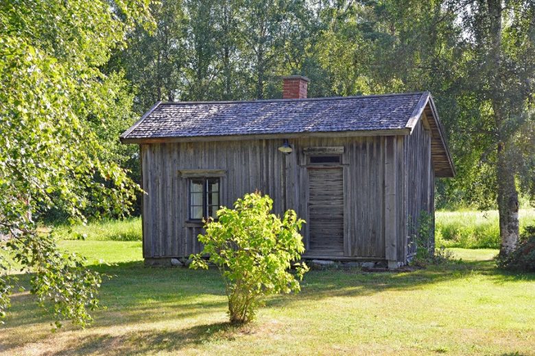
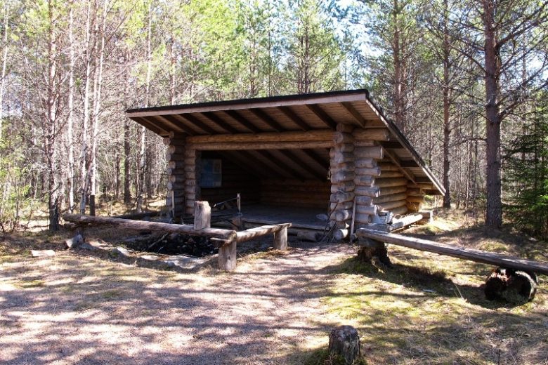
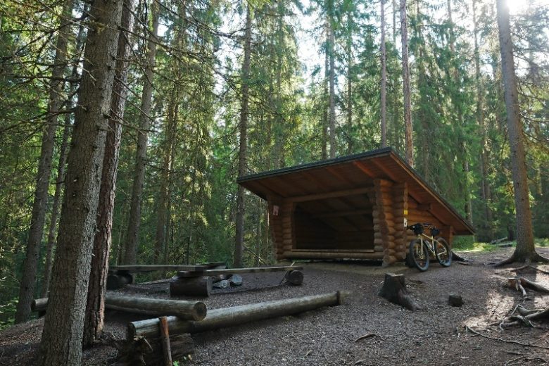
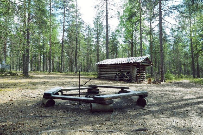
The track ends at a forest road intersection. Turn right and continue about 550 m. Then turn left onto a cart path, where about 200 m ahead is the Paholuoma lean-to maintained by the local congregation. The lean-to has firewood and a toilet.
From Paholuoma lean-to, continue forward along the trail for about 300 m, then turn left and immediately after reaching the forest road turn right and continue about 500 m to the next intersection. Turn right and continue on a gently left-curving forest road for about 3 km. The road branches in three directions; choose the middle branch and follow it for about 3.5 km. Reach highway 44, turn left and continue 3.3 km to the Kirveskylä intersection. Turn right.
Continue about 1.4 km along a village road. On the left open views over the Hyypänjoki valley. At Pajuluoma, turn right onto a field road and continue it for about 600 m. Reach the edge of the forest and continue on a forest road for about 700 m. The route then has the most challenging terrain part, descending steeply about 15 m in 50 m down to the bottom of Katikankanjoni canyon. The route follows the old cart track along the bottom of the canyon for about 100 m and then climbs relatively steeply up from the canyon. At the bottom of the canyon it is possible to stop and explore Kolmentuulenlakki rising on the left.
After about a 200 m climb from the canyon, the route continues along an old cart path. About 350 m ahead, a path leads left to the Katikankanjoni lean-to, which also has a toilet. From the lean-to intersection, 250 m ahead the route turns left and follows Kiviluoma main road for about 2 km, then turns right to a forest road leading towards Nummijärvi. Follow this road for about 9 km until reaching Nummilahdentie. Turn right, drive about 1.8 km and turn left at the intersection. About 400 m ahead, follow signs left towards Nummijärvi Camping and after about 350 m, you arrive back at the starting point.
No public transport
By roadFrom Kauhajoki to Nummijärvi, continue on highway 44 but do not turn towards Kankaanpää, instead continue straight on the road that becomes road 6700 towards Nummijärvi. Drive through the village of Nummijärvi and follow signs to Nummijärvi Camping.
From the south on highway 44, drive to Kauhajärvi, turn right onto Kiviluomantie, continue about 5 km and turn right onto Kivijärventie. After about 6 km, turn right onto Nummilahdentie and continue about 2 km, then turn left and after about 400 m follow the signs to Nummijärvi Camping.
Approaching from the north on highway 3, turn right about 1.7 km after Juustoportti in Jalasjärvi towards Karvia, continue 16 km and turn right towards Nummijärvi. After about 9 km, turn left towards the village of Nummijärvi and after the village follow signs to Nummijärvi Camping.
Approaching from the south on highway 3, turn left from Parkano towards Karvia. In Karvia, turn right and drive through the church village. After about 3 km, turn left at the intersection towards Kauhajoki and continue about 19 km and then follow signs left towards Nummijärvi Camping.
ParkingFree
Along the way

Similar routes nearby