Nummijärvi mountain biking route
About a 32 km long route from Nummijärvi to Kauhaneva, then returns via Nummikangas, continues to Katikankanjoni, and finally back to Nummijärvi. The route is marked with green-white colored posts and signs. Guidance is complemented by a GPX track available from Outdooractive.
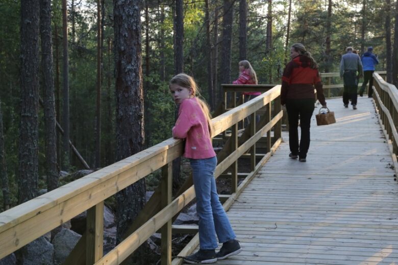
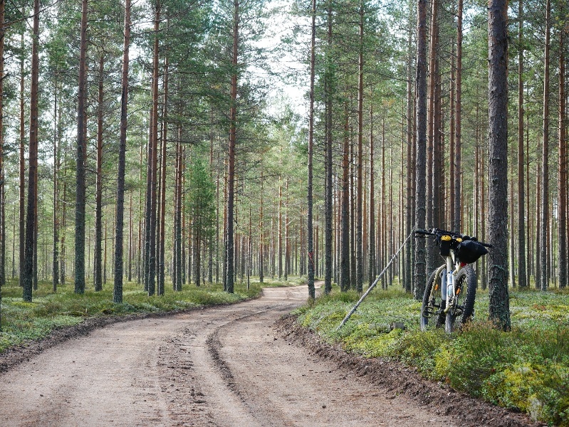
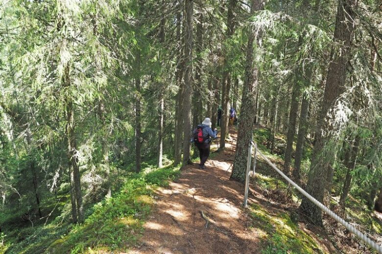
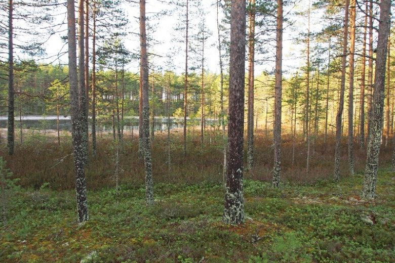
The easy route mostly follows old forest roads and is also suitable for beginners. Attractions along the route include Lapinkaivo and Lapinharju, the Hunger Years memorial, Kauhaneva and Katikankanjoni. The route can be done by mountain bike, gravel bike, or fat-tire touring bike.
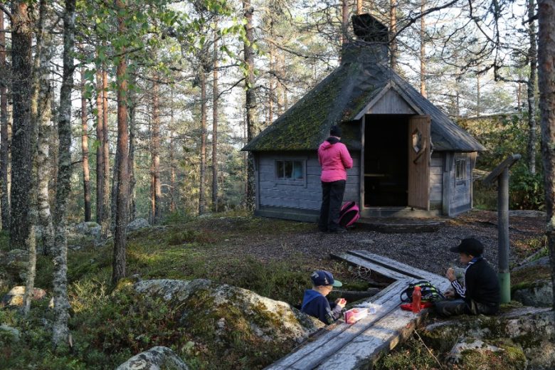
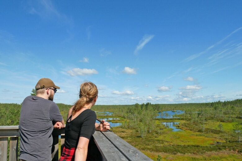
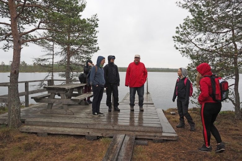
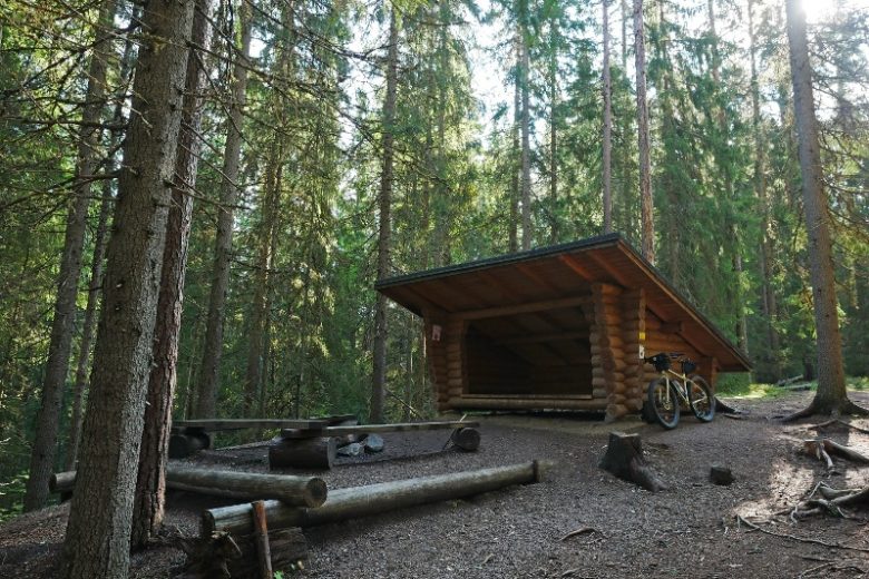
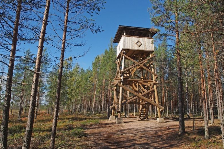
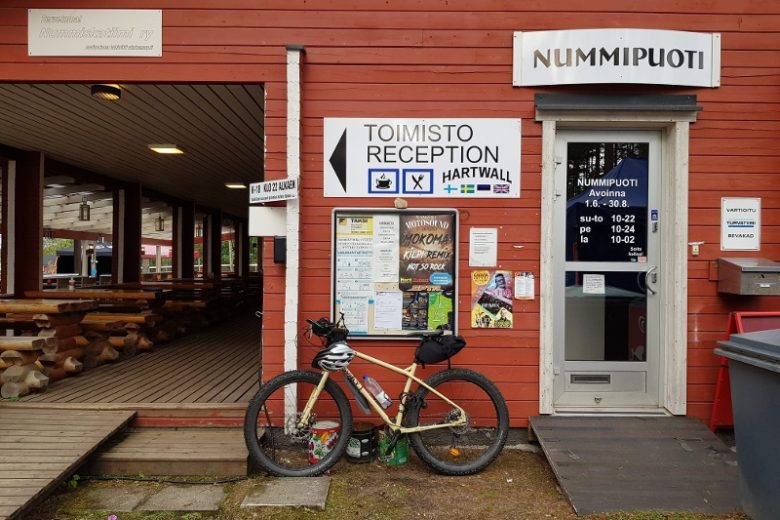
At the start point, Nummijärvi Camping, accommodation and restaurant services are available along with sauna facilities. Along the route at Kauhaneva, there is an observation tower, a campfire site, a dry toilet and firewood. At Kauhaneva you can also walk the approximately 3 km Kauhalammi circuit. Katikankanjoni has a lean-to shelter, toilet, and a 2 km hiking trail called Katikankierros.


More about the route
Plan your trip
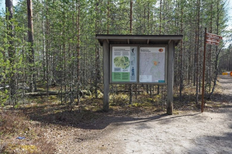
The route starts from the parking area of Nummijärvi Camping, where there is a route information point to the left of the camping area gate. The route goes through the camping area gate and continues straight through the yard area, turning left along the edge of the shooting range to Nummilahdentie. Turn right and continue for about 500 m, then turn left at the intersection to Lammin kiertotie and immediately left again onto a forest road. Continue for about 800 m to an intersection where there is an option to detour left to Lapinkaivo and the Hunger Years memorial.
The route continues right at the intersection and passes Lapinharju. About 700 m ahead is an intersection where you turn left. Continue about 600 m, then turn right at the next intersection. About 150 m ahead, turn left and continue on the forest road for about 1.1 km. Arrive at an intersection, continue straight ahead following signs and after about 100 m choose the left branch of the road. Continue about 550 m until reaching Kauhanevantielle. Turn left and about 40 m later right onto a forest road.
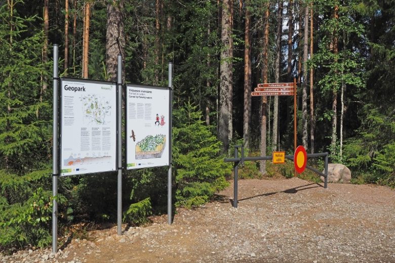
Continue on the forest road about 500 m and turn right at the intersection. Continue about 600 m and turn left at the intersection. Continue about 100 m and turn right. Continue about 600 m, cross a crossing forest road and continue straight for about 1.7 km, turn right and after 100 m arrive at the parking area of Nummikangas. The parking area has a national park information point and a toilet.
From the parking area, move about 600 m along Kauhanevantietä to the edge of Kauhaneva. The park can be explored partly by bicycle, partly on foot. After exploring the park, return the same way: first 100 m of forest trail, then turn left, continue 1.7 km forward, cross a crossing forest road, continue about 600 m and turn left. Continue about 100 m, turn right at the intersection, continue 600 m, turn left at the intersection, continue 500 m and arrive at Kauhanevantielle. Turn left and after about 40 m turn right. Continue 550 m, follow the road branch leading right about 100 m until an intersection is reached. Turn left.
Continue about 1.4 km and turn left at the forest road intersection. Continue 1.8 km and turn left following the signs. Continue on the forest road following route marks about 1.8 km until reaching the edge of a field. The route continues as a field and village road to the other edge of the clearing (about 700 m). About 1 km after the forest section, turn right at the intersection, continue about 600 m until reaching Kiviluomantie. Turn right, continue about 200 m and turn right to the parking area of Katikankanjoni.
From Katikankanjoni parking area, it is about 300 m to Katikankanjoni lean-to, which includes a toilet and firewood shed. Return from Katikankanjoni parking to the main road, turn right, continue 200 m and then turn left. Continue 600 m and turn left at the intersection. Continue 1 km until reaching the edge of a field. Continue across the clearing along field roads (about 700 m) and continue on forest roads following route marks about 1.8 km. Turn right, continue 1.8 km and turn right onto a crossing forest road. Continue about 1.4 km until an intersection is reached. Turn left from there, continue on the forest road about 1.1 km. Then turn right, continue 150 m and turn left. Continue 600 m, turn right, continue about 700 m following along Lapinharju and arrive at an intersection where you turn left.
Continue about 800 m, reach a road junction, turn right to Lammin kiertotie and immediately right again to Nummilahdentie. Continue about 500 m and turn left towards the shooting range, circle the shooting range turning right and return to Nummijärvi Camping camping area, the start and end point of the route.
No public transportation
By roadFrom Kauhajoki to Nummijärvi, continue on highway 44, but do not turn towards Kankaanpää; instead, continue straight on road 6700 leading to Nummijärvi. Drive through the village of Nummijärvi and follow signs to Nummijärvi Camping.
From the south, drive highway 44 to Kauhajärvi, turn right onto Kiviluomantie, continue about 5 km and turn right onto Kivijärventie; about 6 km later turn right onto Nummilahdentie, continue about 2 km, then turn left and after about 400 m follow signs to Nummijärvi Camping.
Coming from the north on road 3, turn right about 1.7 km after Juustoportti in Jalasjärvi towards Karvia, continue 16 km and then turn right towards Nummijärvi. About 9 km later, turn left towards the village of Nummijärvi and after the village, follow signs to Nummijärvi Camping.
Coming from the south on road 3, turn left from Parkano and after the ramp turn right towards Karvia. In Karvia, turn right and drive through the church village. About 3 km later, turn left at the intersection towards Kauhajoki and continue about 19 km, then follow signs to the left towards Nummijärvi Camping.
ParkingFree
Along the way
Similar routes nearby