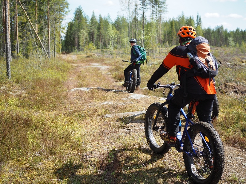
Pyhäniemi - Käskyvuori mountain biking route
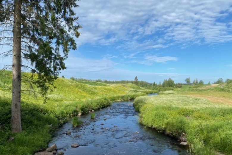
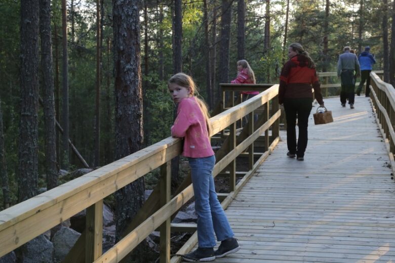
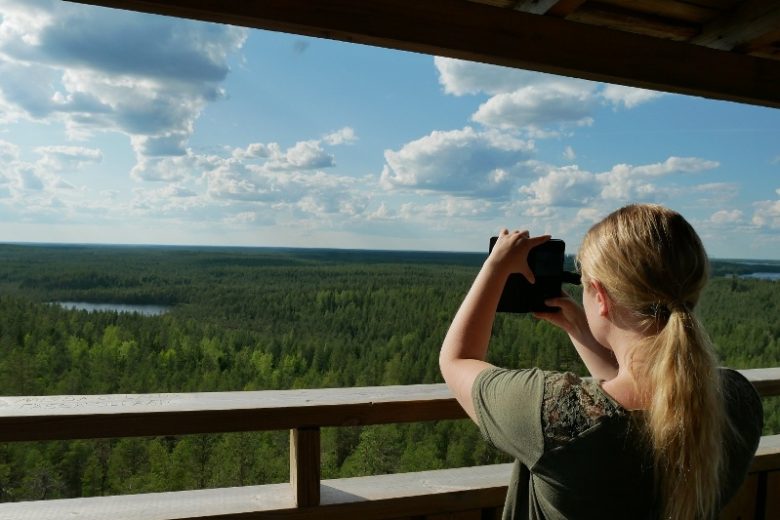
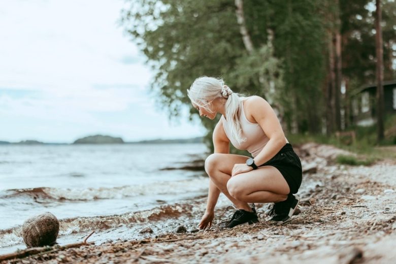
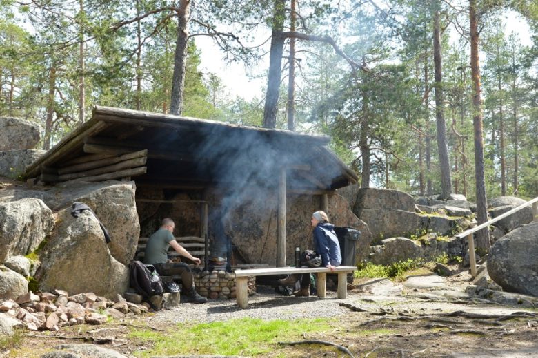
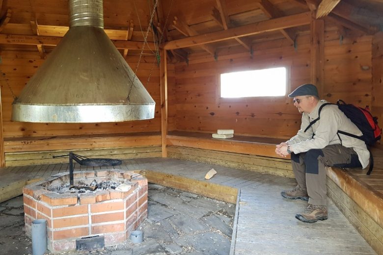
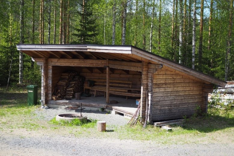
The Pyhäniemi - Käskyvuori outdoor route is a one-way 22 km mountain biking route that takes you from the beautiful sandy beach of Pyhäniemi tourist center to the vicinity of Kihniö village center and through forests, swamps, and village roads to the wilderness of Käskyvuori, where a magnificent observation tower offers stunning views. Next to the tower are a fire shelter, campfire site and lean-to, kota hut, and toilet. The service facilities at Käskyvuori are maintained by the municipality of Kihniö.
Return from Käskyvuori to the starting point either the same way or via an alternative route along the main road. It is also possible to arrange a pick-up service to Käskyvuori.
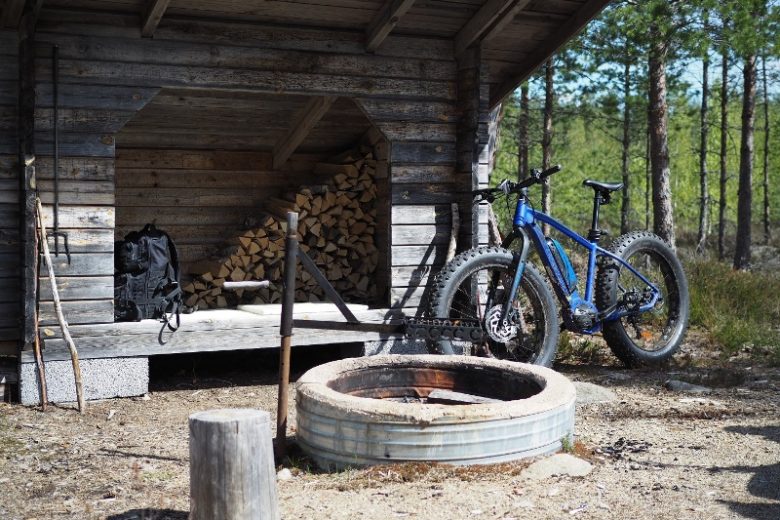
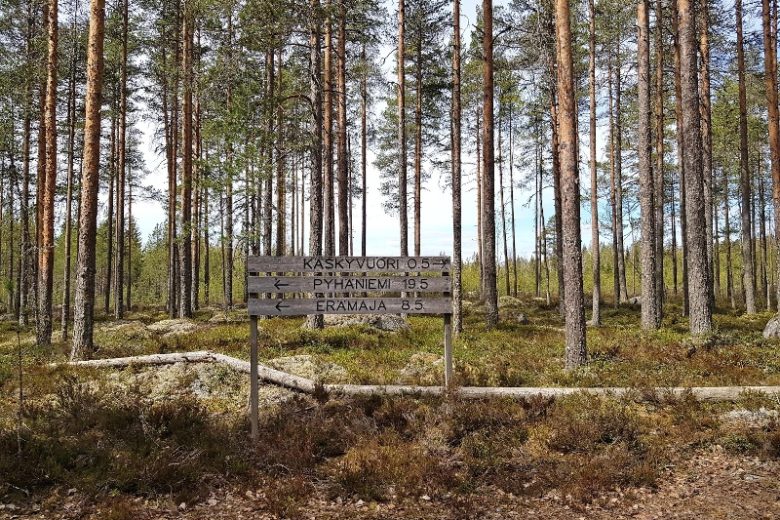
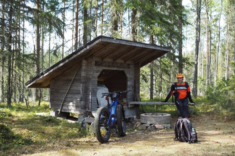
The mountain bike route is only in use during summer. It follows the Pyhäniemi - Käskyvuori ski trail. Gravel and wood chip surfaces have been made for wet sections of the route. There are three resting places along the route: Annalanvuori lean-to, Erämaja lean-to, and Toivonen lean-to. The route is marked on the terrain with signposts and route markers. The guidance is supplemented by a GPX track available from the Outdoor Active service.
The starting point at Pyhäniemi offers accommodation and restaurant services as well as equipment rental.


More about the route
Plan your trip
The route starts from the Pyhäniemi tourist center. From the parking area, head towards the main road and turn right onto the terrain track running along the road. Continue along the track following route markers for about 1.8 km until you reach a field road. After a short section on the field road (approx. 300 m), you arrive at the Myllyjoki bridge.
From the Myllyjoki bridge, continue about 100 m on Myllyjoentie, turn left and immediately right following the signs for the outdoor trail. Follow a forest section of about 650 m until you reach Pyhäniementie. Turn right, and after about 50 m turn left, continuing the route along the terrain for about 1.4 km until you reach Teollisuustie. Turn left and continue about 400 m on the main road to the next intersection, then turn left.
Continue about 900 m on the main road until you return to a terrain section on the right side of the road. Continue about 3 km until you arrive at the Annalanvuori lean-to shelter, where you can take a break.
From Annalanvuori lean-to, continue downhill, cross the main road about 300 m ahead and continue through the forest section. About 1.2 km ahead you come to Ratikyläntie, turn left and about 150 m later turn right onto Ojajärventie. Continue for about 1.1 km until you turn left onto a terrain section. After about 600 m, you reach Erämaja, where there is a suitable lean-to shelter for a break in the yard area.
From Erämaja, continue following the terrain trail about 500 m to Valkamankorpi, where you turn right at the trail intersection. Continue about 600 m until you reach Palolahdentie. After crossing the road, continue following the terrain trail alongside the road for about 700 m and then move to the main road. After about 100 m, turn right at the intersection and pass a farmyard on a gently left-curving road. After about 400 m, turn right. Follow a good-quality forest road section of about 2 km, ending at the Matoviita road bend. From the bend, continue straight along a ski track and follow route signs. About 3 km ahead is Toivonen lean-to, which is a good resting place.
From Toivonen lean-to, continue following the route. About 1.8 km ahead, the route meets a forest road, Pystykoskentie, which the route follows about 400 m to the Käskyvuori parking area. From the parking area, there are signs forward to Käskyvuori, about 500 m from the parking area.
Return the same way back, alternatively from Käskyvuori parking area via the main road or by arranging a pick-up service.
No public transport
By roadSigns from Järvisuomentie to Pyhäniemi.
ParkingFree
Along the way
Similar routes nearby