Ridge Nature Trail
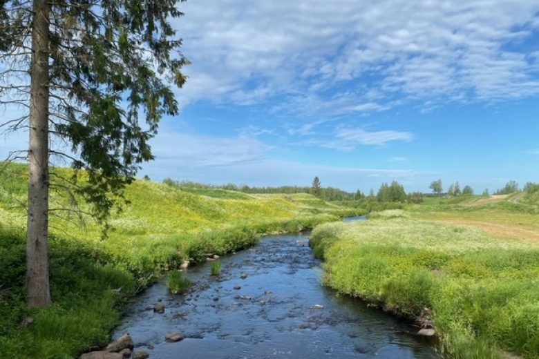
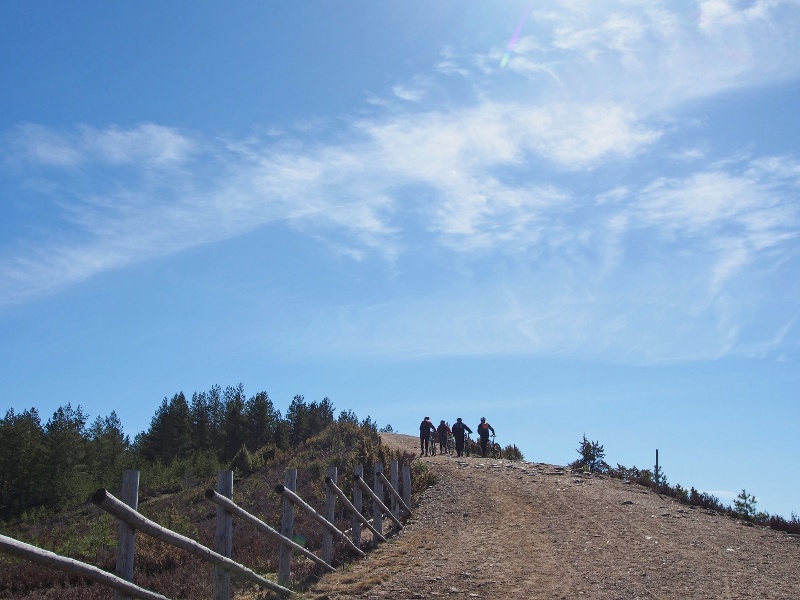
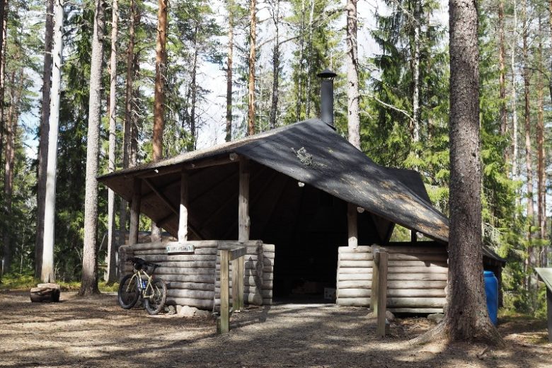
The route follows the highest ridge of Hämeenkangas, Soininharju, and leads through open heaths and pine forests to the spruce-covered summit of Niiniharju, where there is a kota (hut) that is an excellent rest spot. From Niiniharju, the route moves to the northern slopes of Hämeenkangas, which it follows back to the starting point. Along the way, you’ll experience landscapes shaped by the ice age and ancient shoreline forces, visible as numerous kettle holes of various sizes, ridge boulders, blowing sand, and dunes. The upper slopes of Hämeenkangas are steep, and from the ridge top, expansive views open up in places. Hämeenkangas and its sites are part of the Lauhanvuori – Hämeenkangas UNESCO Global Geopark.
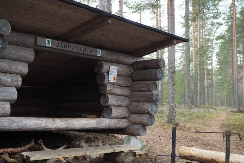
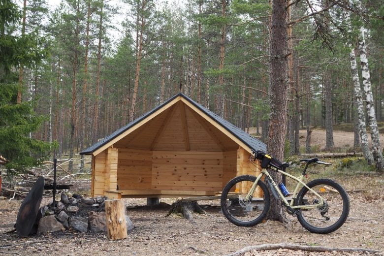
In addition to Niiniharju's kota, there are two lean-to shelters along the route: Jämi-Jukola lean-to and Soininharju kota lean-to.


More about the route
Plan your trip
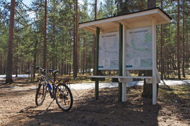
Behind the Jämi arena is a gate lined with signposts, from behind which a path begins up to Soininharju. Follow the path up to the open fell and then continue along the ridge following nature trail markers (cone symbol). After a while, the path crosses an area of blowing sand. After that, the path widens and follows Soininharju until it joins a ski track base. Follow the ski track base until the path branches right into a spruce forest towards Niiniharju's kota (hut).
From Niiniharju's kota, continue forward following the nature trail markers. After an old cart track, the path continues downhill, curving gently left, and eventually ends up on the northern slope of Hämeenkangas. The path follows the northern slope to the Jämi-Jukola lean-to shelter. After the lean-to, the path descends below the northern cliff and continues gently over undulating terrain towards Jämi, climbing back up the ridge about 800 meters after the lean-to, winding back up near the observation tower. From the tower, the path descends past the Soininharju lean-to to the lower terrace and ends at the starting point of the route, near the gate leading to the ridge.
No public transport.
By roadFrom the south or north via Highway 3 to Ikaalinen, from where follow the Hämeenkangas signs west along road 261 towards Jämijärvi. From Jämijärvi, follow the Hämeenkangas signposts to the Jämi arena parking area (Jämintie 657, Jämijärvi).
From the south via Main Road 44 to Kankaanpää’s Vihteljärvi, from where follow Hämeenkangas signs to Kuninkaanlähde and then through the village of Vihu to Jämijärvi, from where follow signs to Hämeenkangas to the Jämi arena parking area.
From the north via Main Road 44 to the traffic circle in Kankaanpää, then turn towards Parkano. About 8 km later turn towards Jämijärvi. About 13 km later follow the signs towards Hämeenkangas and continue to the Jämi arena parking area.
From the west, continue on Highway 23 past Kankaanpää for 8 km and turn towards Jämijärvi. About 13 km later follow the signs towards Hämeenkangas and continue to the Jämi arena parking area.
From the east, follow Highway 23, drive about 18 km from Parkano, turn at Kuusijoki towards Jämijärvi. Follow signs to Jämijärvi and from the urban area continue following Hämeenkangas signs to the Jämi arena parking area.
ParkingFree
Similar routes nearby