Shore path at Lauhanvuori
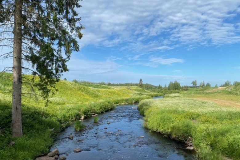
The shore path circles the ancient island landscapes of the Lauhanvuori summit area, introduces the area's potato cultivation history, and detours to the landscapes of the highest post-glacial shoreline of Western Finland before ascending again to the Lauhanvuori summit. Along the route, there are nature trail signs in Finnish. The shore path partly follows the same trails as the Terrace circuit and can be used as an alternative route.
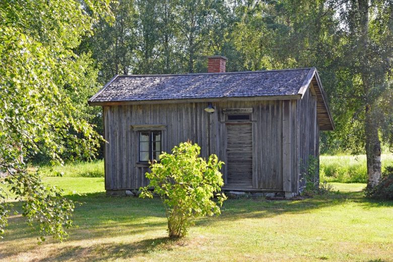
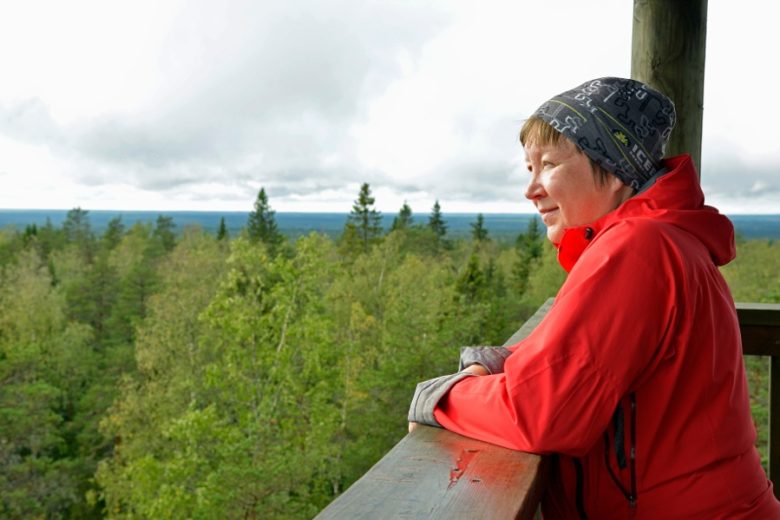
The starting point of the route has a restroom, an information point, an observation tower, and table and bench sets for breaks even for large groups. The northernmost part of the route passes Lauhan rental cottage and its nearby lean-to and restroom. The shore path and the area's service structures are maintained by Metsähallitus.
More about the route
Plan your trip
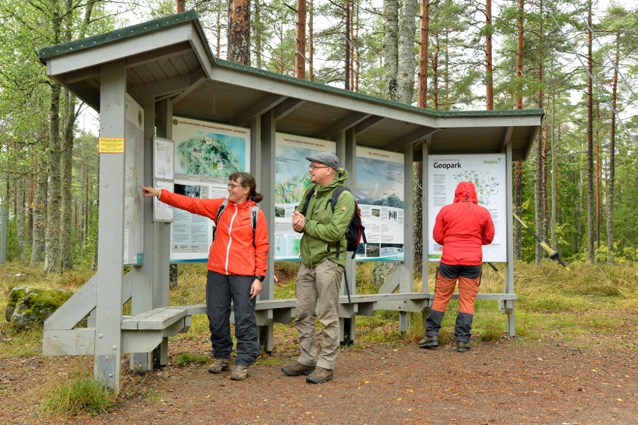
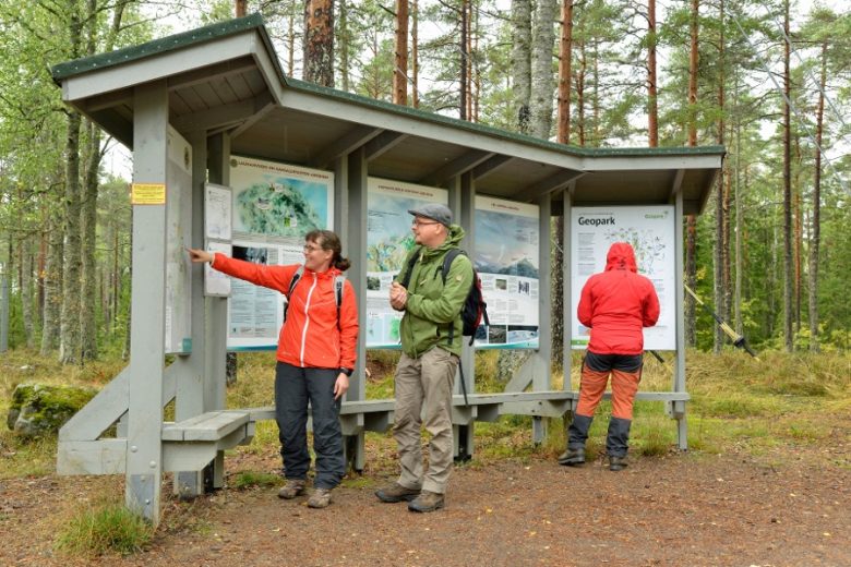
The route starts at the base of the Lauhanvuori observation tower, where there are signs to the route. Follow the signs along the path for about 50 m, then turn left. Continue along the winding path through the fell forest of the summit area, gently downhill for about 500 m, then turn left. Continue along the path for about 30 m to reach an old potato field. Continue forward; the path passes several ancient stream beds along the way. About 300 m ahead the path descends to the highest post-glacial shoreline, the landscape changes from spruce forest to open pine forest. Continue the route about 300 m forward, then turn right according to the signs. Continue about 400 m to a junction from where a left detour leads to Lauhan rental cottage. The route continues uphill from the junction; about 300 m ahead at the fork, choose the right side and continue for about 500 m until you reach the summit. At the path junction before the tower, follow the signs to the tower.
No public transport.
By roadFollow Lauhanvuorentie according to the signs to Lauhanvuori National Park and the Lauhanvuori summit parking area. From the parking area, proceed on foot to the observation tower, from where the route is signposted.
ParkingFree.
See www.luontoon.fi

Similar routes nearby