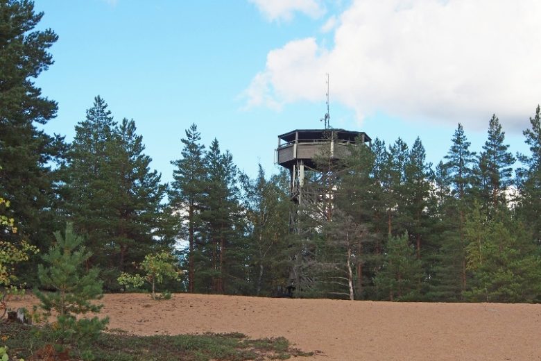
Etelävuori trail
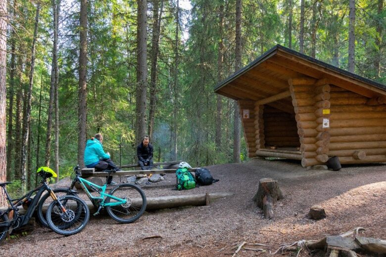
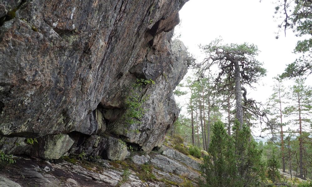
The route leads to the summit of Etelävuori and descends from there down the southern slope to a lean-to shelter where you can have a snack break. Along the route, there are rocky ancient shorelines, open rocky lands, the Saunanseinä rock shelter, and a rocky gully on the southern slope. The lower slope has easy-to-walk heathlands. The route partly follows easy groomed trails of the ski center, but the part crossing Etelävuori is in terrain. Stairs have been built to ease walking on the more challenging sections. The route mostly goes through a nature reserve. The route is maintained by Metsähallitus.


More about the route
Plan your trip
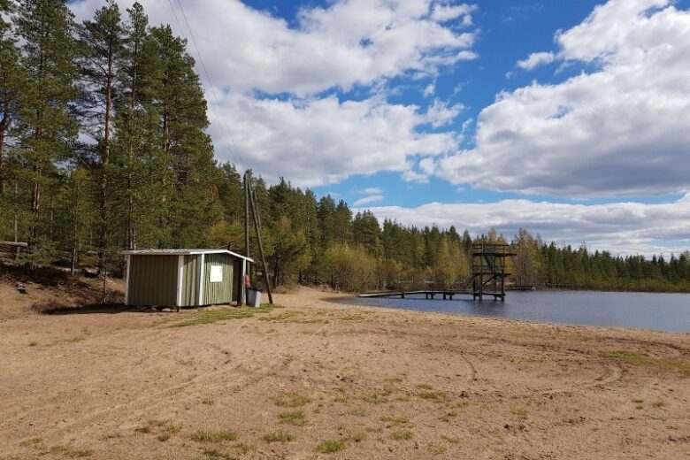
Head south from the P parking area towards the swimming spot. At the route map, turn right and follow the blue trail markers. The route follows about 900 m of groomed trail base before branching off to the right into the terrain. Continue following the trail markers. At the ancient shoreline rock area, there is a short side path to the left leading to an information board. The route continues from the ancient shoreline rocks to the summit of Etelävuori. From the summit, it is about 250 m to the Saunanseinä rock shelter. Continue downhill from the rock shelter, and after about 200 m you reach a gully. The route follows the bottom of the gully for about 100 m and then moves onto easy terrain at the foot of the cliffs of Etelävuori. At the junction of paths, turn left and continue about 400 m until you reach an old forest road. The route follows this road to the left and soon you will arrive at the lean-to shelter of Etelävuori.
From the lean-to shelter, follow the blue trail markers toward Pyhävuori. The route goes along easy groomed trail bases for about 2 km, and intersections are signposted.
No public transport to the start of the route.
By roadFrom Kristiinankaupunki, drive towards Dagsmark, turn in Lapvärt towards Karijoki and continue about 6 km, then turn right onto Urheilutie according to the Bötombergen - Pyhävuori signpost. Continue for about 1 km, and you have arrived.
From Karijoki, head towards Kristiinankaupunki. After about 5 km, turn left onto Urheilutie according to the Bötombergen - Pyhävuori signpost. Continue for about 1 km, and you have arrived.
ParkingFree parking is available at the site.
Equipment suitable for hiking and outdoor activities and sturdy-soled footwear.
Along the way

Similar routes nearby