Pohjankangas glacifluvial formation
Pohjankangas is a 60 km long south-north ridge and delta formation. Its southern part, from Niinisalo to Kantti, is a closed military area and consists of delta plains formed by successive glacial river estuaries. To the north of Kantti, Pohjankangas is an esker, a sand and gravel formation created by a glacier river, and is partly part of the Kauhanevan-Pohjankangas National Park. The extension of Pohjankangas to the north from Kauhaneva is known as Nummikangas. The surface part of the formation has been washed during the post-glacial Ancylusjärvi phase, and numerous ancient beach formations can be found in the area.
The subsoil is surrounded by marshes, which are fed by the springs of the marginal parts of the glacial river formation. Both Kyrönjoki and Karvianjoki top streams originate from these. These are important habitats for trout. Due to the sandy and nutrient-poor soil, the area is dominated by pine forests, where e.g. spinner.
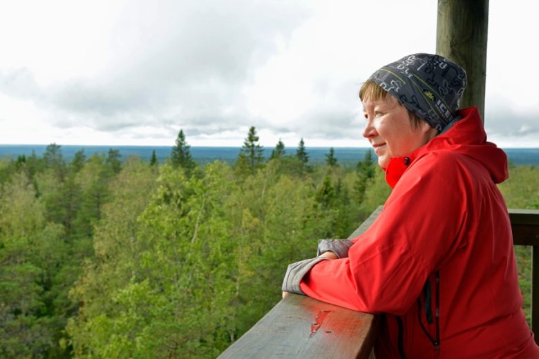
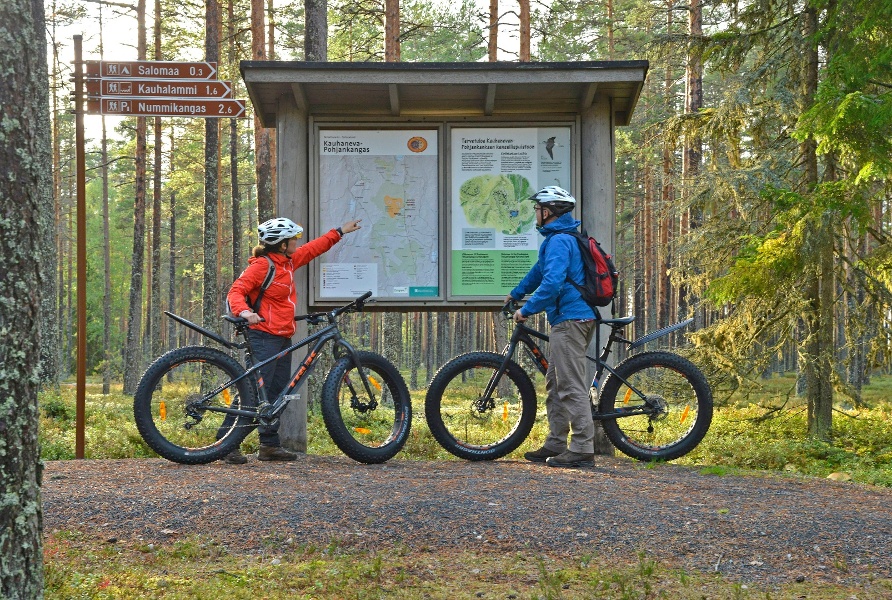
The best way to experience Pohjankangas is by bicycle along the historic Kyrönkangas road.
See more photos:


Lisätietoja kohteesta
Type of destination
Geotope
Sähköpostiosoite
sisasuomi@metsa.fi
Website
http://www.nationalparks.fi
Address
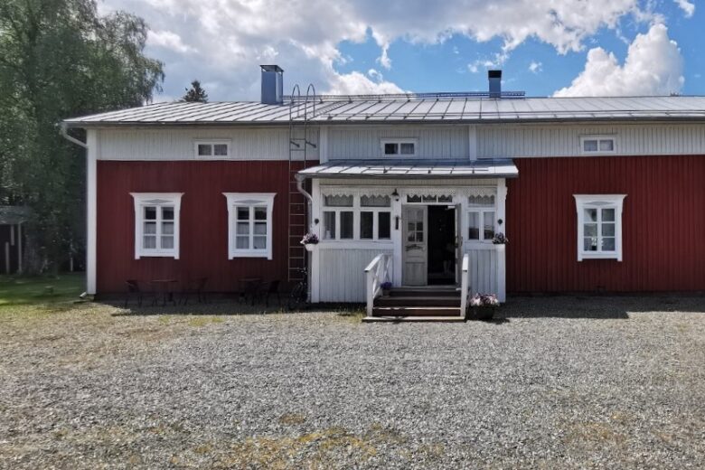
Kyrönkankaantie 345, 39930 Karvia
Pricing
Free.
Plan your trip
Public transport
No public transport.
By roadDuring the summer along Kyrönkankaantie by bike, foot or car. The road is not plowed in winter.
ParkingFree.