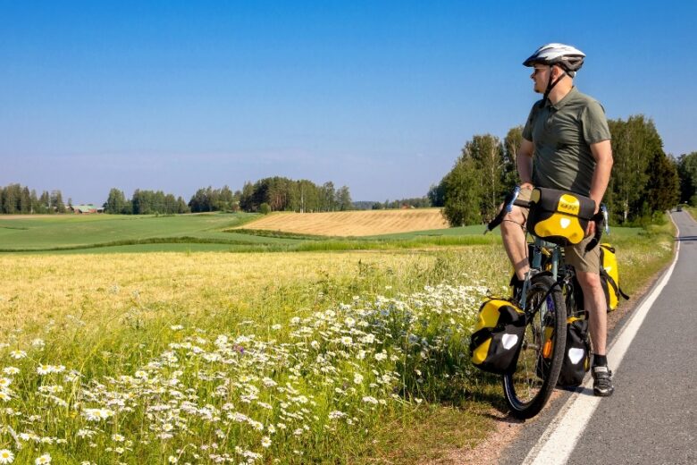
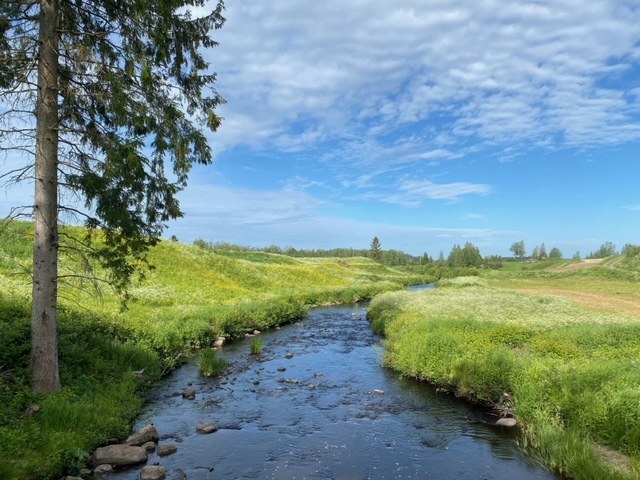
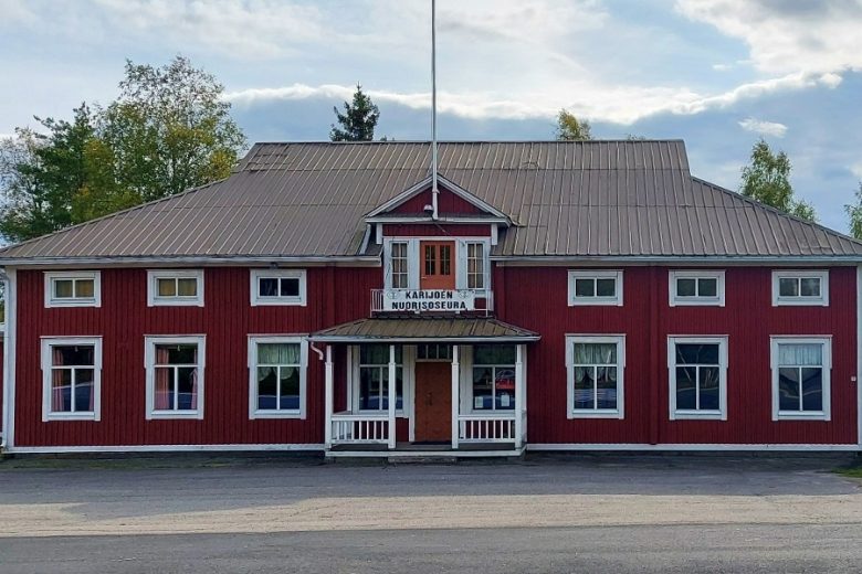
River valley cycling route in Karijoki
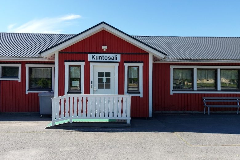
The river valley cycling route passes through the valleys of three rivers: Karijoki, Metsäjoki, and Lappvääärtinjoen. On the ruins of a valley known for potato cultivation rise the highest mountains in Ostrobothnia: Pyhävuori, Susivuori, and Etelävuo-ri, as well as Karijoki’s highest point, Iso-Kakkori. From the paved village road, it is easy to detour into nature to Susiluola. At the route's starting point in Karijoki center, there is the Susiluola visitor center and municipal services.


More about the route
Plan your trip
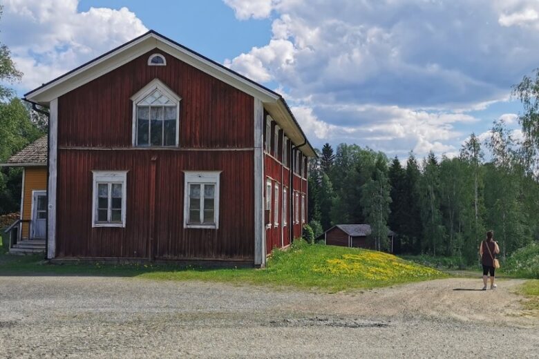
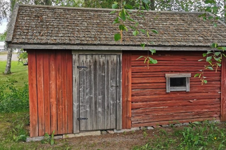
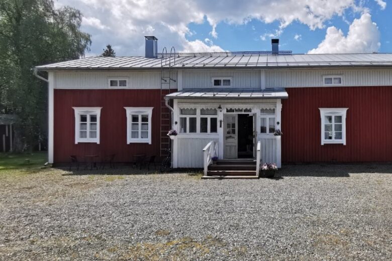
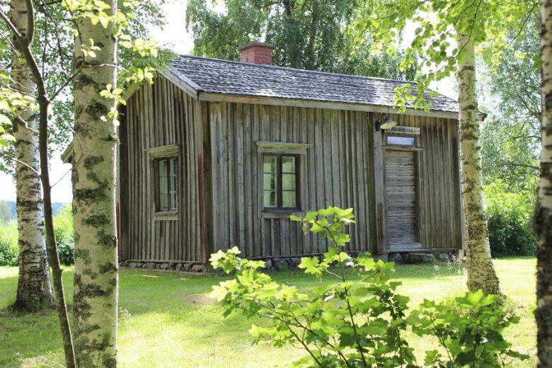
Turn onto Alakyläntie and head towards Isojoki. In the urban area, there is a pedestrian and bicycle path. About 700 m from the end of the pedestrian path, there is an opportunity to detour to the Karijoki local heritage museum located on the left side of the road, where one of Karijoki's old bridges can be seen. The route continues along Alakyläntie and crosses Karijoki about 100 m ahead. About 900 m from a four-road intersection, continue straight. About 1.5 km ahead, you will arrive at Alakylä and pass through it. After Alakylä, Metsäjoki is crossed; after crossing it, about 1 km ahead, the road moves from an open field into a forest. Continue forward; about 4.4 km ahead in Ohrikylä, cross Lappvääärtinjoki-Isojoki, after which about 1 km ahead, turn right onto Isojoentie and continue towards Kristiinankaupunki. About 3 km ahead, the road returns from the forest to an open field. About 1.5 km after this, cross Lappvääärtinjoki again, and about 200 m from there, turn right in Dagsmark center onto Åbackantie and continue it towards Karijoki. About 3.6 km later, the road name changes to Dagsmarkintie; continue it about 3 km, where the road rises from the river valley to Korkiamäki into the forest. About 800 m later, there is an opportunity to detour left onto Einoontie and shortcut towards Susiluola. The route continues about 1.9 km on Dagsmarkintie towards Karijoki, where upon arrival, turn right onto Kristiinantie. Follow it about 400 m, then turn right onto Alakyläntie and return to the starting point.
No public transport.
By roadFollow the signs to Karijoki center.
ParkingFree.
See www.lhgeopark.fi
Along the way
Similar routes nearby