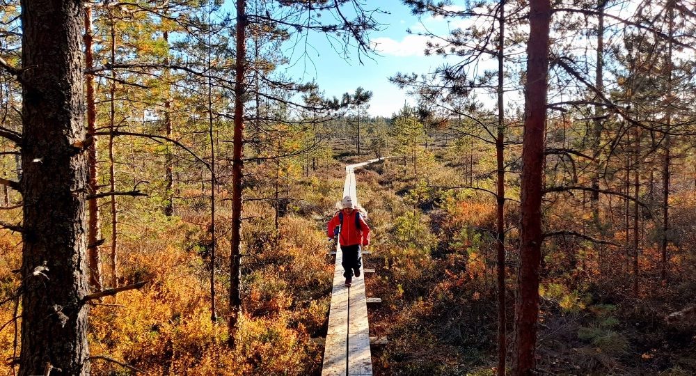
Vaarinnevankeidas mire and the dunes of Hämeenkangas
The development of the bog started about 6,500 years ago with the swamping of forest land, fed by groundwater seeping from Hämeenkanga. The change from a nutrient-rich sedge swamp phase marked by sedge vegetation to a nutrient-poor raised bog occurred about 5,000 years ago.
There are numerous thin carbon deposits in the peat layers of the bog. This tells about the history of Hämeenkangas - there have been many forest fires throughout the ages. Their occurrence has been promoted by the practice that the local population had permission to take wood from the state forest if there had been a forest fire. Due to forest fires, Hämeenkangas' soil has been depleted of nutrients due to numerous forest fires.
Vaarinnevankeidas and Hämeenkangas dune field are both geosites.


Lisätietoja kohteesta
Plan your trip
No public transport.
By roadBy car or bike Kyrönkankaantie, the marked parking area on the side of the road, from where the marked route to the destination starts. The area can also be reached along Hämeenkangas routes and forest roads.
ParkingFree

