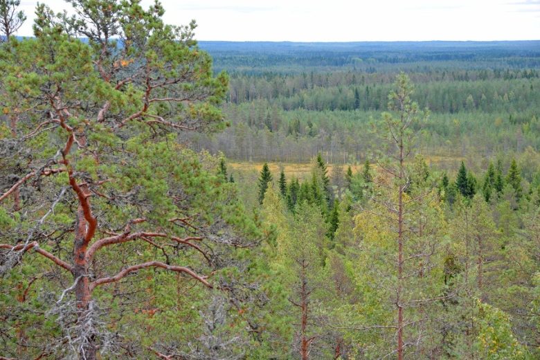
Iso-Kakkori trail, Karijoki
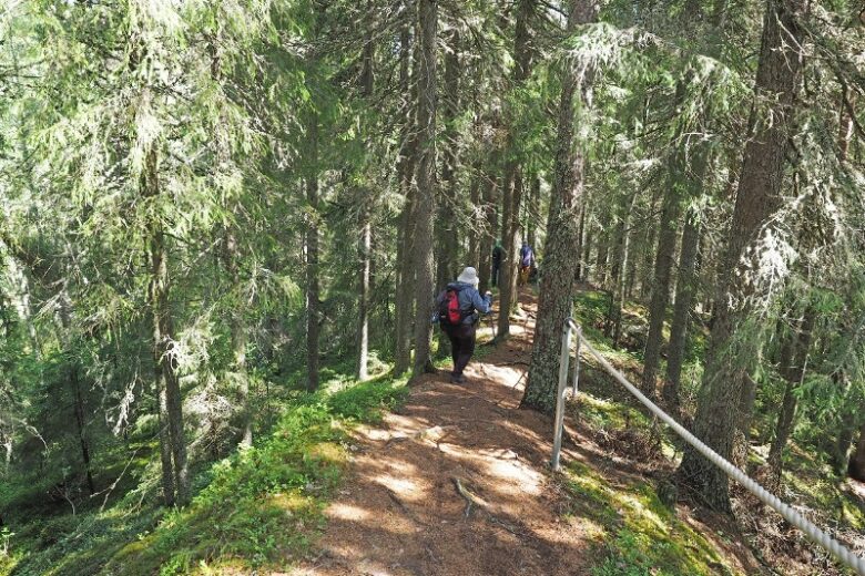
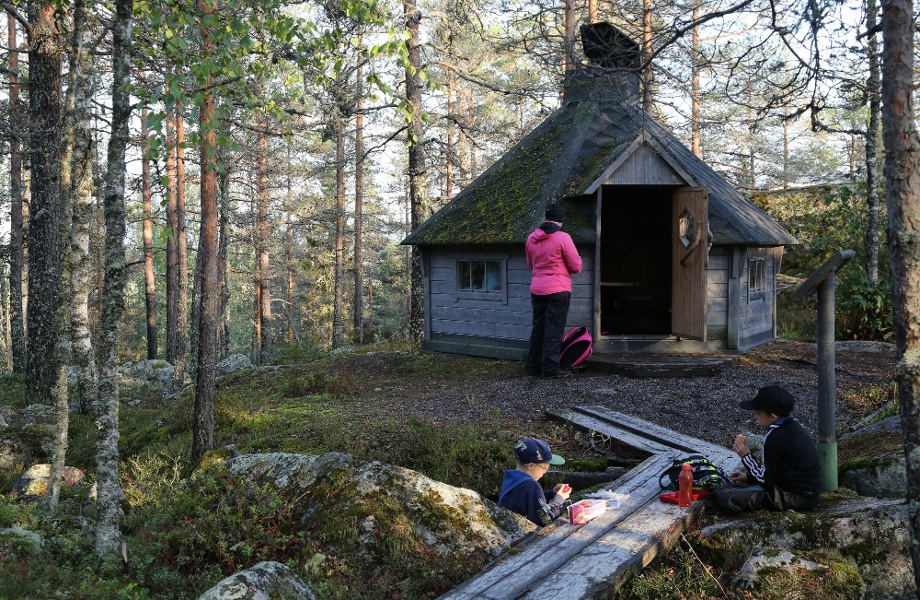
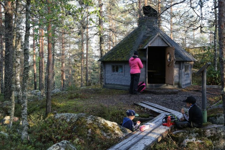
There is a lapp-hut on the top of Iso-Kakkori, which is suitable for a day trip break. The path to the top is marked with path signs and route markers. Guidance is complemented by the GPX track found on Outdooractive. The route is part of the Muinaisvuorten reitistö route, which is maintained by the municipalities of Karijoki and Teuva.


More about the route
Plan your trip
No public transport.
By roadFrom Highway 8, turn north at Kristiinankaupunki ABC in the direction of Karijoki to Pohjoinen Lapväärtintie 663, which changes into Karijoentie, and continue driving through Karijoki's municipal center for a total of about 17 km. Turn left onto Luovankyläntie, drive about 2 km and turn left into the yard of the hunting lodge. A 2 km long forest road and a path leave from the yard to Iso-Kakkori.From Highway 8, turn south from the junction of Lapväärtti onto Eteläinen Lapväärtintie, which after 3.9 km joins the Pohjoinen Lapväärtintie / Karijoentie 663. It is continued through the Karijoki municipal center for a total of about 15 km. Turn left onto Luovankyläntie, drive about 2 km and turn left into the yard of the hunting lodge. A 2 km long forest road and a path leave from the yard to Iso-Kakkori.
From Kaskistentie 67 turn from the edge of Teuva to Porvarintie 687, drive 400 m and turn right onto Karijoentie. It is driven for about 17 km (turns into Teuvantie) and turns left onto Kullaanmäentie. After 1.5 km turn left onto Kauhajoentie 663 and drive 1.5 km until you turn left onto Luovankyläntie. Drive about 2 km and turn left into the yard of the hunting lodge. A 2 km long forest road and a path leave from the yard to Iso-Kakkori.
From Pohjanmaantie 44, turn onto Isojoentie 664 and drive 38 km. Then turn right onto Alakyläntie 687 and drive 11 km, turn right from the center of Karijoki to Kauhajoentie. It will be driven 3.3 km until you turn left onto Luovankyläntie. Drive about 2 km and turn left into the yard of the hunting lodge. A 2 km long forest road and a path leave from the yard to Iso-Kakkori.
From Kauhajoki, start at Päntäneentie 663 to Karijoki. After about 28 km, turn right onto Luovankyläntie. Drive about 2 km and turn left into the yard of the hunting lodge. A 2 km long forest road and a path leave from the yard to Iso-Kakkori.
ParkingFree
Similar routes nearby