Pyhävuori route
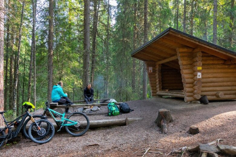
An easy route leads to the ancient shoreline rock field of Pyhävuori, where there is a lean-to shelter for resting. The route follows old ski tracks.


More about the route
Plan your trip
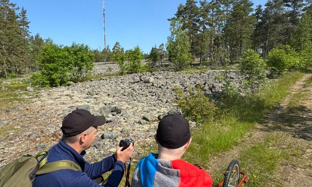
Follow the yellow route markings from the Pyhävuori parking area northwards. About 1 km from the starting point, you will reach a lean-to shelter next to the shoreline rocky area of Pyhävuori. There are good views of the ancient shoreline rock field from the route. The route continues downhill. About 700 m downhill from the lean-to shelter is a junction; turn right there. About 700 m further on are more junctions, choose the right one. About 400 m later the route returns to the starting point.
No public transport to the starting point of the route.
By roadFrom Kristiinankaupunki, drive towards Dagsmark, turn in Lapvääri towards Karijoki and continue about 6 km, then turn right onto Urheilutie according to the Bötombergen - Pyhävuori sign. Continue about 1 km, and you will arrive.
From Karijoki, head towards Kristiinankaupunki. After about 5 km, turn left onto Urheilutie according to the Bötombergen - Pyhävuori sign. Continue about 1 km, and you will arrive.
ParkingFree parking.
Outdoor equipment.
Along the way

Similar routes nearby