Haapakeidas and Katselmankallio
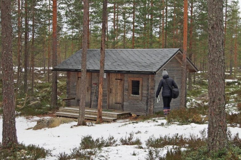
Open water ponds are found in the western part of the area. In the northern part, there is a more than 50-hectare lake Haapajärvi, on the south side of it is the 6-hectare lake Pieni Haapajärvi. The Haapajärvi wilderness farm, deserted in the 1970s, is located on an islet of dry land between the lakes. The farm's main building serves as a day shelter maintained by the local village association.
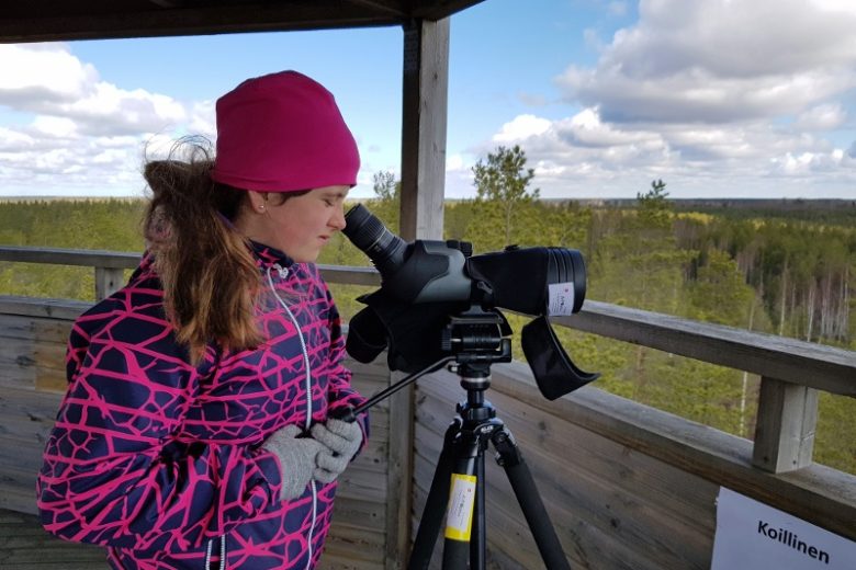
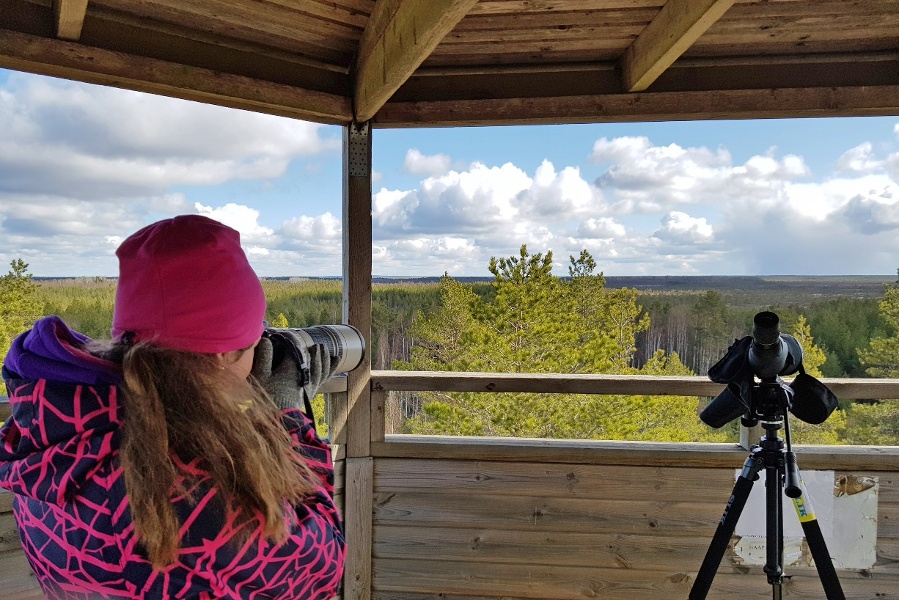
On the western edge of Haapakeidas, there is a 3 km long path that connects Katselmankallio and Haapajärvi farms. On Katselmankallio you can see a flat granite rocky terrain that has been washed clean from the ground cover.


Lisätietoja kohteesta
Plan your trip
No public transport.
By roadFrom Route 8, turn in the direction of Kankaanpää and Siikainen, drive 2.2 km on Siikaistentie and turn onto Mäkitie. Drive 8.2 km and turn slightly right onto Lauttijärventie. After less than a kilometer, turn left onto Leppijärventie and continue for 8.8 km, then turn left onto Herranmetsäntie. It will be driven 3.7 km and turn right onto Katselmantie. There is an observation tower sign at the crossroads. After one kilometer, you will reach Katselmankallio's parking area on the left.From Pohjanmaantie (44), turn west from the Honkajoki roundabout to Siikaistentie and drive 20.2 km and turn right onto Leppijärventie. Drive 5.8 km and turn right onto Herranmetsäntie. It will be driven 3.7 km and turn right onto Katselmantie. There is an observation tower sign at the crossroads. After one kilometer, you will reach Katselmankallio's parking area on the left.
From Highway 23, start north of Pomarkku along Kivijärventie (2600) for 15 km and turn left at the T-junction at Lilja's yarn store onto Leväsjoentie. Drive 12 km and turn right onto Tuorilantie. After 5.9 km, turn left onto Formuntie, which continues as Tallikankaantie. After a total of 4.6 km, you come to Leppijärventie and turn left. It will be driven 3.7 km until you reach the Herranmetsäntie. It will be driven 3.7 km and turn right onto Katselmantie. There is an observation tower sign at the crossroads. After one kilometer, you will reach Katselmankallio's parking area on the left.
From Siikainen, drive 6.9 km on Siikaistentie and turn left onto Honkajoentie. After 600 m turn left onto Leppijärventie, which is driven 5.8 km, then turn right onto Herranmetsäntie. It will be driven 3.7 km and turn right onto Katselmantie. There is an observation tower sign at the crossroads. After one kilometer, you will reach Katselmankallio's parking area on the left.
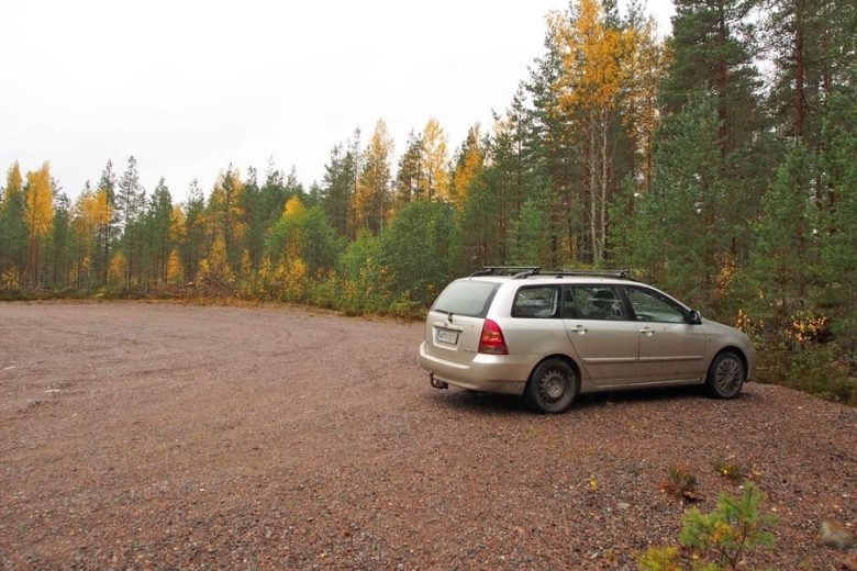
ParkingFree.