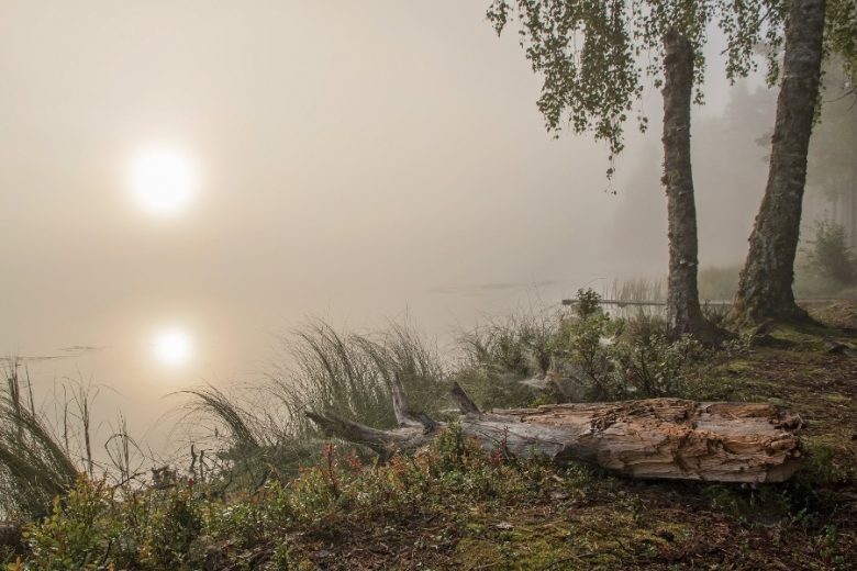
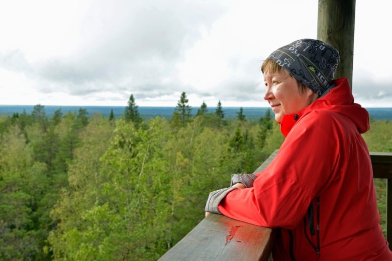
Katikankanjoni ravine
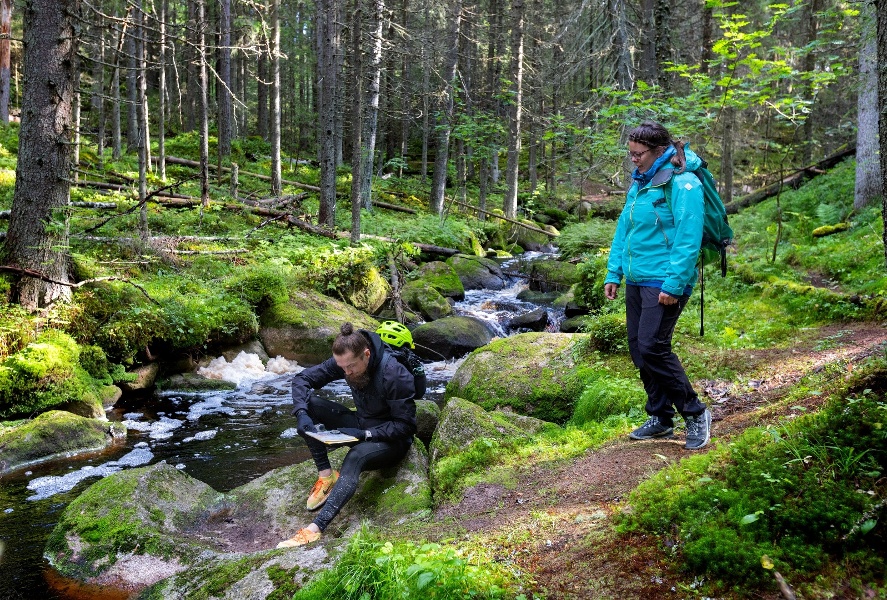
Katikankanjoni was formed during the last 9,000 years by flowing waters carving their way into the soft sandy soil. The ravine is about 20 m deep and at most 200 m wide. It has been created in sandy terrain by meandering of three streams. Waters have eaten the fine sand with it, and what remains are the steep slopes and the residual hills that rise in the middle of the ravine, representing the original level of the earth's surface. The most famous of them is Kolmentuulenlakki.
In Katikankanjon, the waters flowing from Kauhaneva, Katikankangas and Kauhajärvi meet. In addition to the three main streams, there are several side streams. Katikakanjoni is at most about four kilometers long. At the mouth of the ravine, the streams flowing there merge to form Kauhajoki, which flows at the bottom of Hyypänjokilaakso valley.
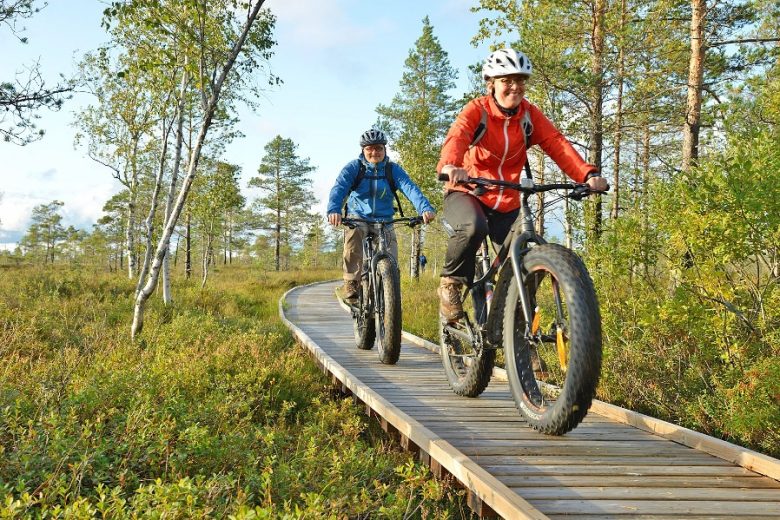
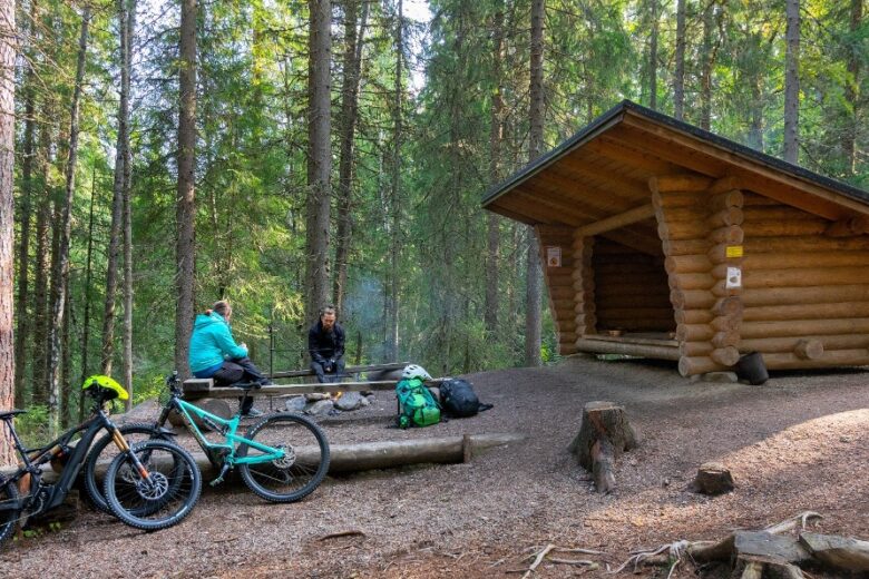
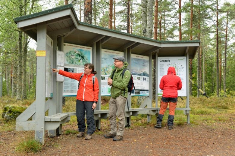
In Katikankanjon, there is a two-kilometer path and a rest area, connected to which there is a shelter and a toilet. The area is part of Kauhaneva - Pohjankankagas National Park.
See more photos:


Lisätietoja kohteesta
Type of destination
Geotope
Sähköpostiosoite
sisasuomi@metsa.fi
Website
http://www.nationaparks.fi
Address
Kiviluomantie 461, 61800 Kauhajoki
Pricing
Free
Plan your trip
Public transport
No public transport.
By roadBy car, bike or on foot along the Kiviluomantie road or by bike along the cycling routes in the area.
ParkingFree