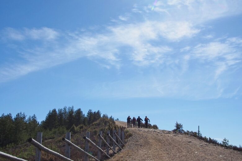
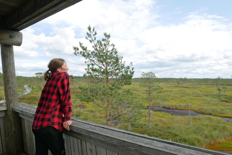
Katikankierros
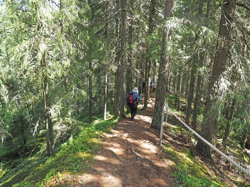
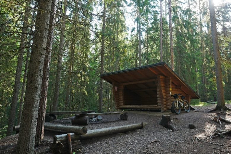
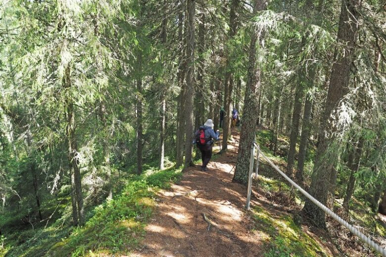
A demanding path through steep terrain that rewards you with its scenery and atmosphere. In Katikankanjoni, three steep-edged gorges worn into the sandy ridge meet, where trout live in the winding streams at the bottom. The path follows the edges of the streams and occasionally climbs over erosion remnants left in the canyon. At the beginning of the path, there is a lean-to and a dry toilet. The route is part of the Kauhaneva-Pohjankangas National Park trail network but is located separately from the other routes in the national park.
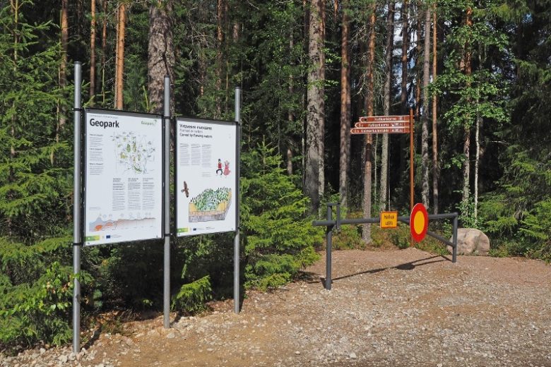
The route is among the key trails of the Lauhanvuori-Hämeenkangas UNESCO Global Geopark.


More about the route
Plan your trip
Follow the signposting from the parking area northwest along an old road track. About 170 meters away, a side trail branches off to the right where there is a lean-to at the edge of the gorge above. Return the same way to the main route, which continues forward about 400 m until the old turning place from where it starts to descend into the gorge. About 150 m later the route crosses a stream and turns right. The path, which goes up a steep uphill, climbs to the plateau of Kolmentuulenlakki. From there the path descends eastwards into the gorge, crosses a stream, and goes uphill on a slope. It follows ridges and a stream valley formed by erosion remnants towards the southeast. Finally, the path reaches the easternmost bridge of the canyon and returns towards the junction at the beginning of the path. At the junction, take the left branch and walk about 150 meters until you reach a forest road and turn left. About 40 meters later, the route returns to the starting point.
No public transport.
By roadWhen coming from southern Finland via road 3, turn left at Parkano onto road 274 and drive to Karvia. In Karvia, reach a T-junction and turn left; then after 300 meters, turn right, following the signs to Kauhajärvi. About 3 kilometers later, turn left towards Kauhajärvi. After 15 kilometers, arrive at Kauhajärvi church, where turn right onto road 17039 (Kiviluomantie) and continue for 3.3 km, then turn right according to the sign to the Katikankanjoni parking area (Kiviluomantie 461).
Coming from Pori in the south or Seinäjoki in the north via road 44 (Kankaanpää-Kauhajoki), turn from Kauhajärvi onto road 17039 (sign for Hautalankylä). Continue for 3.5 km and turn left according to the signs, where there is a parking area.
ParkingParking is free.
Similar routes nearby