Hyypänjokilaakso cycling route
More about the route
Plan your trip
At the end of the road, continue on the field road for about 200 m and turn left at the edge of the forest. Continue on the field road following the forest edge for about 500 m and then cross the field opening along the field road. Arrive at the edge of Jokimäentie, turn left and continue for about 850 m, then turn right at Jokikylänmäentie 157. Continue on the forest road for about 250 meters, cross the Kauhajoki River and continue for about 50 m to Hyypänmäentie, where you turn left.
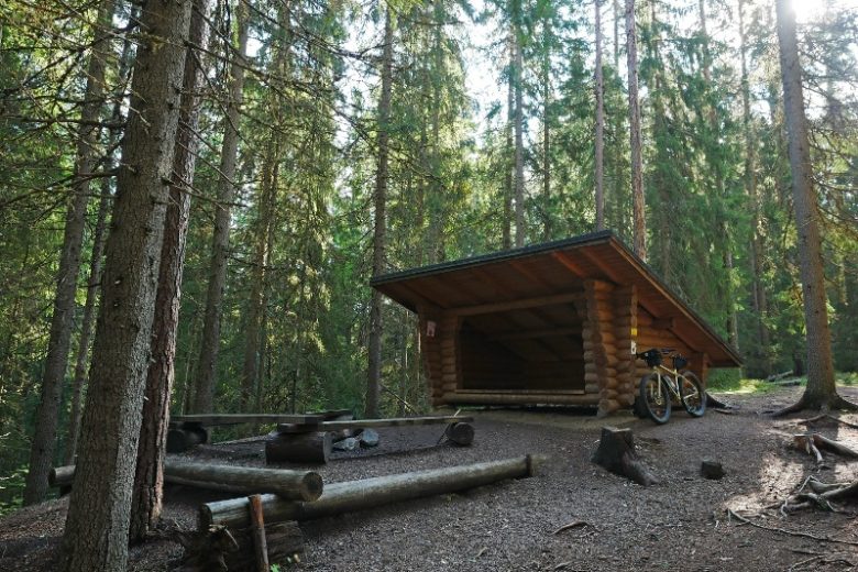
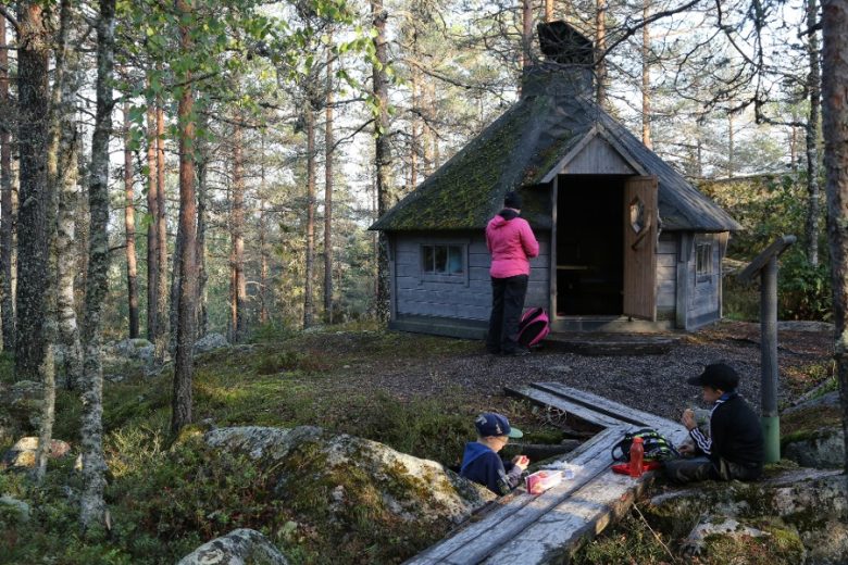
Continue on Hyypänmäentie for about 400 m and turn left. Continue following the track for about 500 m until you reach the Teevahainen ski track. Continue following the trails for about 1 km and reach Hyypänmaja, which has a hut and a dry toilet.
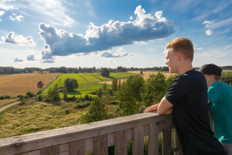
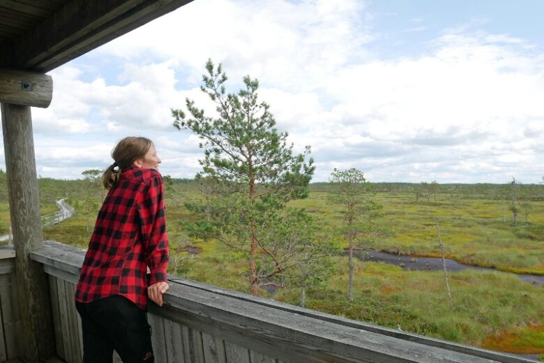
Continue from Hyypänmaja following the route markings. After about 400 m turn right. Continue for about 600 m and turn right before the steep creek. Continue for about 300 m, pass the farmhouse and continue for about 200 m. Reach road 44, turn left. Continue on Route 44 for about 800 m and turn left onto Pantintie. Continue it for about 950 until you have the Panttikylä observation tower on your left.
From the Panttikylä observation tower, continue on Pantintie for about 400 m and turn right onto Kakkorintie. Continue for about 500 m and continue straight onto the field road. Follow the section with about 2.4 km of varied field and forest landscapes, which ends at Hautalankyläntie. Cross Hautalankyläntie and continue on Rajaluomantie for 1.5 km. The road ends at Hautalankyläntie.
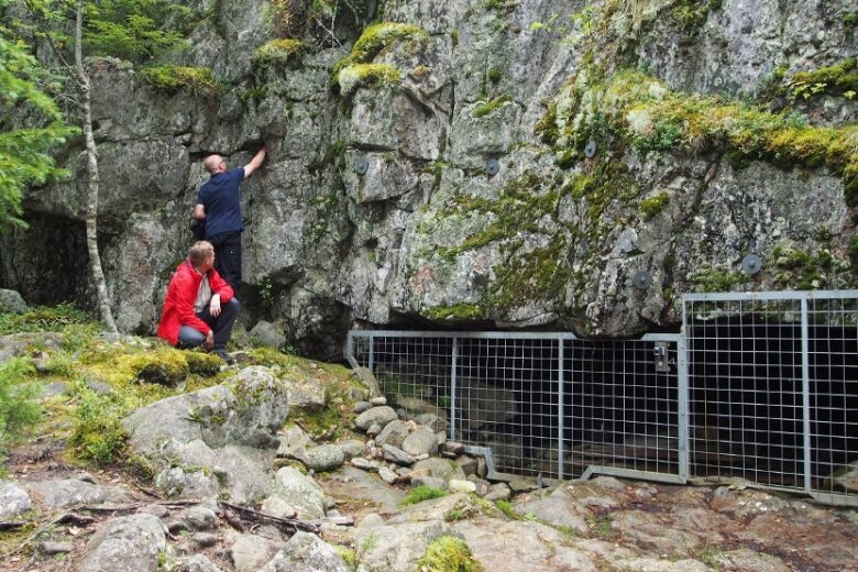
Turn right and continue on Hautalankyläntie for about 900 m. The name of the road will change to Kiviluomantie, which will continue for about 4 km until there is a parking area on the right side of the road in Katikankanjon, where the route ends. It is about 300 m from the Katikankanjoni parking lot to the Katikankanjoni lean-to shelter along an old forest road. It is also possible to continue in the direction of Nummijärvi along the Nummijärvi - Katikankanjoni route.
Return to Hämes-Havuse by the same route or alternatively by road. Pick-up from the Katikankanjoni parking lot is possible.
No public transport
By roadFrom the north to the Kauhajoki main road 67, turn onto road 44 and continue for about 8 km. After a junction turning in the direction of Kankaanpää, after about 200 meters, turn left and immediately left again into the Hämes-Havunen car park.From the south, take Route 44 from Kankaanpää to Kauhajoki, about 200 m before the T-junction, turn right and immediately left into the Hämes-Havunen parking area.
Arriving from the south on Route 3, drive to Parkano, turn towards Karvia and follow the signs in the direction of Kauhajoki. After about 16 km after Nummijärvi, turn towards Kankaanpää and after about 200 meters, turn left and immediately turn left again into the Hämes-Havunen car park.
ParkingFree

