Honkajoki - Kodesjärvi connecting route
A local route along main roads that suits as an alternative route between the Satakunta and Ostrobothnia routes. From Kodesjärvi connection continues further along the gravel road route of Isojoki.
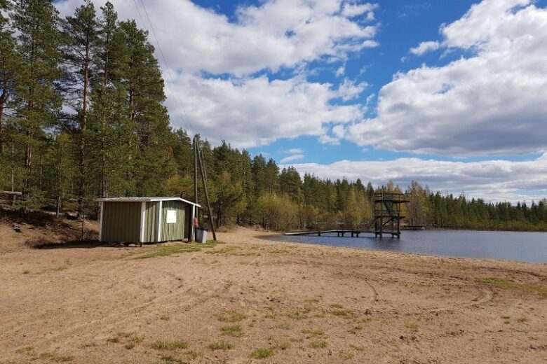
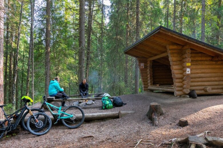
Kodesjärvi is one of the source lakes of the Karvianjoki. The upper waters of Isojoki flow only about 2.5 km as the crow flies from Kodesjärvi. However, in between there is a watershed, Suomenselkä. Kodesjärvi has a beach.
The route is digitally guided via a GPX track available on Outdooractive.

More about the route
Plan your trip
Head towards the roundabout and go around it along the light traffic lane. Exit the second junction towards Siikainen. Continue on Rynkäistentie for approx. 2.5 km and turn right. Continue on Mämmintie for 9 km until you reach the T-junction at Kodesjärvi.
Connection towards Isojoki Lauhanvuori direction via Isojoki mountain bike trail on Kodesjärventie to the right.
No public transport.
By roadTo Honkajoki from the south along road 44, Honkahovi is on the right side of the road near the roundabout on road 44.
To Honkajoki from the north along road 44, Honkahovi is on the left side of the road near the roundabout on road 44.
From the west, from the direction of Merikarvia, along road 270 to Siikainen and after Siikainen along road 2700 from Pyntäis to Honkajoki, Honkahovi is on the left side of the road after the roundabout.
From the east, from Karvia along road 2700 to Honkajoki and after the village center before the roundabout Honkahovi is on the right side of the road.
ParkingFree of charge.
Along the way
Similar routes nearby