Geobike Lauhanvuori
The Geobike route combines diverse geological sites of Lauhanvuori. Among them are the peak’s observation tower, Spitaalijärvi, Aumakivi, and Kivijata. The route goes through varied terrain on trails, ski tracks, and sandy roads and is only rideable in the snow-free season.
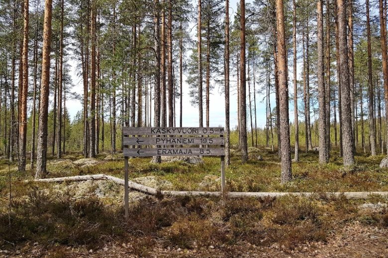
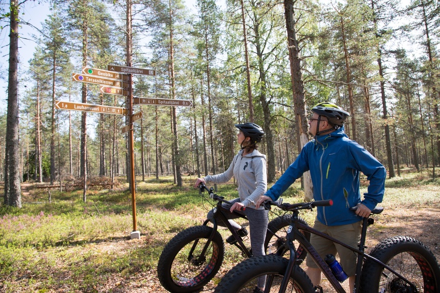
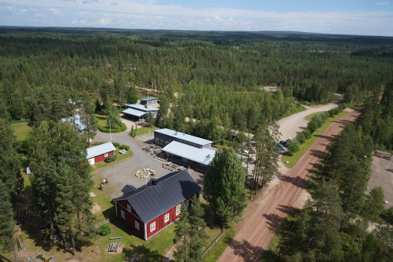
You can start the route from several different starting points; the recommended starting place is Lauhansarvi nature tourism center. The route can be divided into two smaller loops (8 or 16 km) or combined into one 35 km route. The route is marked with guide signs and green color markings. The connecting section is marked with green-white signs.
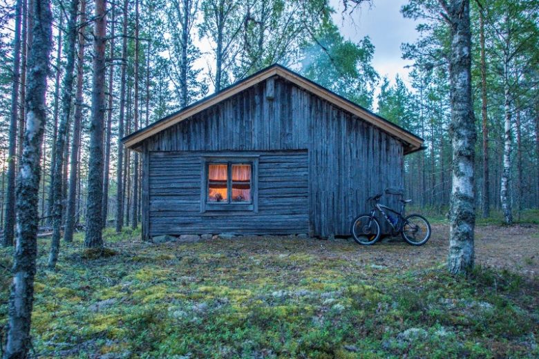
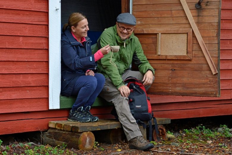
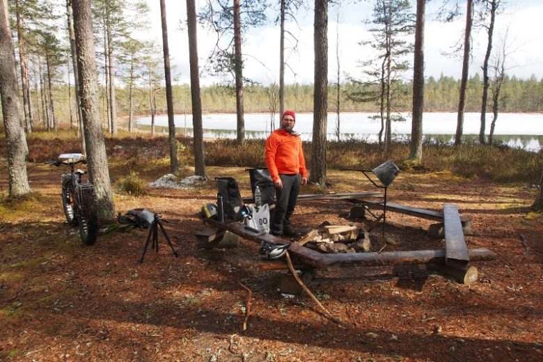
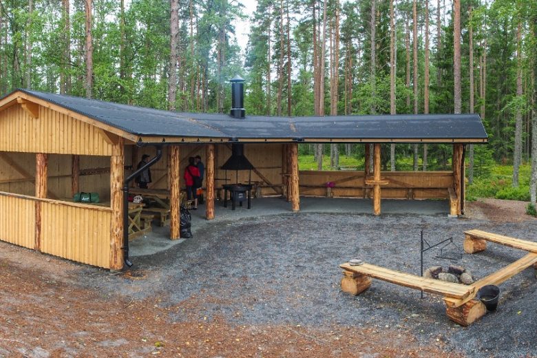
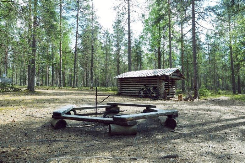
Campfire places along the route can be found at Spitaalijärvi, Kaivolampi, and the Kärkikeidas day hut. Along the route, it is possible to camp overnight with a tent at the east shore of Spitaalijärvi and at Kaivolampi or stay at the Lauhan rental cabin. There are toilets in connection with the hiking services.


More about the route
Plan your trip
Full route description:
The route starts on a road section from Lauhansarvi nature tourism center towards Lauhanvuori. After about 6 km of the road section, turn right at the Spitaalijärvi intersection and ride about 700 m to the Spitaalijärvi parking area.
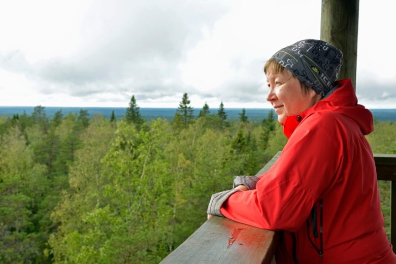
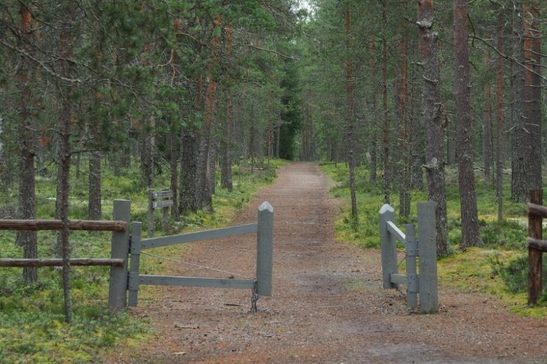
From the Spitaalijärvi parking area, continue through the gate leading to the trails, following the guideposts to the Spitaalijärvi cooking shelter, where the first rest stop is located. From the cooking shelter, continue following the route signs and markings south of the lake to the Spitaalijärvi camping area and from there onward to the Lauhanvuori peak, which is 2 km away from the cooking shelter. The trail to the peak ends at Lauhanvuorentie road near the peak’s parking area. The route continues via the road to the parking lot, where there is an opportunity to detour to the observation tower.
From the Lauhanvuori peak parking area, the route continues from the gate leading to the tower onto an off-road section that takes you to the glacier meltwater stream and further downhill towards Kaivolammenkangas. After about 2.5 km of downhill section, at the trail crossroads, it is possible to detour left to the Kaivolampi rest area. The route continues straight from the crossroads, following the edge of the Kärkikeidas mire area.
After about 1.2 km, it is possible to detour right to the trail leading to Lauhan tupa. About 500 m further, at the next crossroads to the left, it is possible to detour to the Kärkikeidas day hut. The route continues right, and after about 700 m reaches the old Selkäntie of Lauhanvuori. From here, the route continues towards Lauhanvuorentie, which is crossed after about 1.9 km. After Lauhanvuorentie, the route follows old forest roads for about 3 km until it turns right, and after about 100 m of forest trail, it reaches the old forest road leading to Spitaalijärvi. Continue on this for about 2 km, then turn right.
Continue about 700 m to the next junction. On the left along the way is Kuivajärvi, the largest seasonal wetland of Lauhanvuori. From the junction, turn right and continue about 500 m to the next junction. Turn right, continue about 400 m, then turn right again. Continue about 500 m until reaching the Spitaalijärvi trail junction. Here it is possible to detour to the Spitaalijärvi rest area or take only the upper part of the route back to the section leading to the peak.
The route continues from the junction left towards the Spitaalijärvi parking area. From here, transfer via Lauhanvuorentie to Kivijata, from the Spitaalijärvi road junction to the Kivijata junction, 3.6 km. From the Kivijata junction, turn right following the signposts.
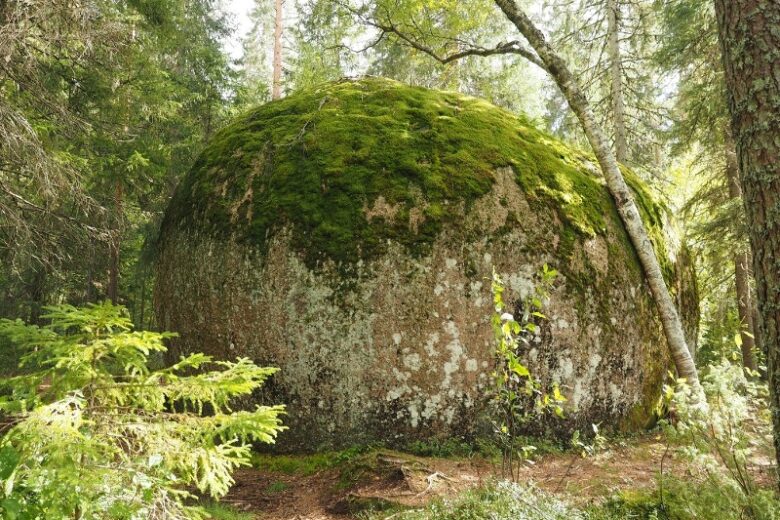
After about 200 m, you reach Kivijata, where it is possible to walk to the most impressive geological attraction of Lauhanvuori. The route continues from Kivijata gently downhill toward Aumakiventie and crosses it until reaching the old landslide gravel pits. Then follows a short wet and technical section, partly with boardwalks. The technical section is about 200 m long. After the wetland section, climb back to dry heath. About 1.4 km after Kivijata, you arrive at Aumakivi, which is another well-known geological attraction of Lauhanvuori.
From Aumakivi, continue according to the signposts about 1.1 km on an old forest road until reaching a forest service road. Turn right, and after about 1 km, at the Sarviluoma village road junction, turn left and continue about 550 m, then turn right at the junction. Continue about 1.2 km until arriving at the Lauhanvuorentie junction. Turn left and after about 300 m, arrive at Lauhansarvi nature tourism center.
Route parts:
The upper part of Lauhanvuori, about 16 km section as described starting from the Spitaalijärvi parking area or Lauhanvuori peak parking area and returning to the starting point.
The lower part of Lauhanvuori, about 8 km section starting on the road section from Lauhansarvi but after about 2.1 km turning right to Kivijata and continuing as described back to Lauhansarvi.
No public transport
By roadThere is guidance to Lauhanvuori National Park from the Kauhajoki - Kankaanpää road (44) and the Honkajoki - Kristiinankaupunki road (664).
From road 44, turn at the village of Muurahainen towards Lauhanvuori National Park and continue along Lauhanvuorentie. The peak of Lauhanvuori is about 5 km, Spitaalijärvi about 7 km, and Lauhansarvi nature tourism center about 12 km away.
From road 664, turn from Isojoki according to the signposts towards Lauhanvuori National Park and continue on Lauhanvuorentie. Lauhansarvi nature tourism center is about 5 km, Spitaalijärvi about 11 km, and Lauhanvuori peak about 12 km away.
ParkingFree
Along the way
Similar routes nearby