Susiluolan polku
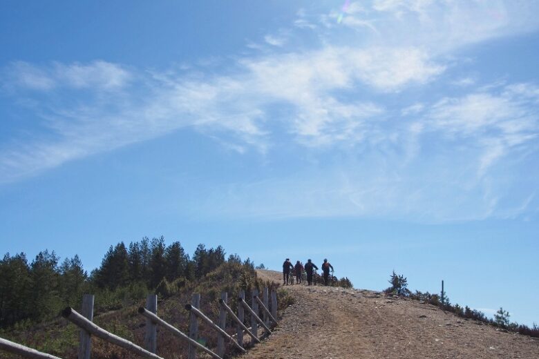
The Susivuori trail takes visitors to the fascinating Susiluola and further up to the top of Susivuori, where there is a lookout tower. The initial part from the parking area to Susiluola is an easy cart path; from the cave onwards, the route passes through occasionally challenging rocky terrain. From the lookout tower, there is a view towards the Selkämeri Sea, visible about 15 kilometers to the west. In the scenery, the towns of Kristiinankaupunki and Kaskinen are distinguishable.
At the starting point of the route, there is a kota shelter and a toilet. The trail is maintained by the municipality of Karijoki. The route is marked with signs and trail markers, with guidance supplemented by a GPX track available on Outdooractive.


More about the route
Plan your trip
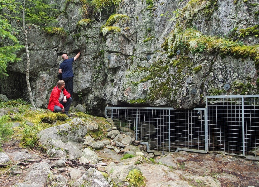
The trail starts next to the main signpost of Susiluola. Follow the path gently uphill. After about 150 m, you will arrive in front of Susiluola. Susiluola is protected by a safety net, and the lighting inside is operated by a switch connected to the protective net.
From Susiluola, the route continues to the left according to the signs and ascends to the top of Susivuori, where there is a lookout tower about 300 m away. After enjoying the views, return the same way back to the starting point.
No public transportation.
By roadFrom Highway 8, coming from the north, turn at Kristiinankaupunki's ABC towards Karijoki onto Karijoentie 663 and drive it for 11 km. Turn left onto Susiluolantie and drive about 2.6 km to the end of the road to the Susiluola parking area.
From Highway 8, coming from the south, turn from the Lapväärtti intersection onto Eteläinen Lapväärtintie, which joins Karijoentie 663 after 3.9 km. Drive 8.6 km and turn onto Susiluolantie. Drive it 2.6 km to the end of the road to the Susiluola parking area.
From Kaskistentie 67 near Teuva, turn onto Porvarintie 687, drive 400 m and turn right onto Karijoentie. Drive about 18 km (it becomes Teuvantie), then turn left at the Kirkkotie intersection. After about 600 m, turn right onto Kauhajoentie 663. Drive Kauhajoentie through Karijoki center for a total of 2.5 km, then turn onto Susiluolantie. Drive it 2.6 km to the end of the road to the Susiluola parking area.
From Pohjanmaantie 44, turn onto Isojoentie 664 and drive 38 km. Then turn right onto Alakyläntie 687 and drive 7.4 km, turn left onto Kukkasentie, and after 400 m, turn right onto Dagsmarkintie. Continue 1.2 km, turn left onto Einoontie. After about a kilometer, turn onto Kristiinantie and shortly after turn right onto Susiluolantie. Drive it 2.6 km to the end of the road to the Susiluola parking area.
From Kauhajoki, take Päntäneentie 663 towards Karijoki. After about 33 km, turn onto Susiluolantie and drive about 2.6 km to the end of the road to the Susiluola parking area.
ParkingFree.
Similar routes nearby