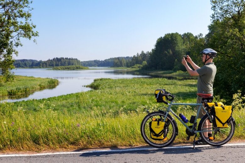
Terassikierros
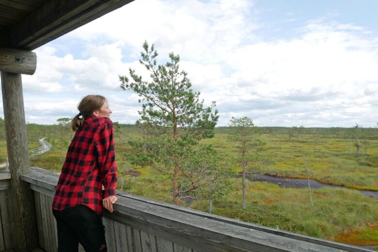
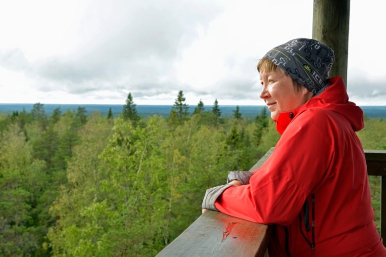
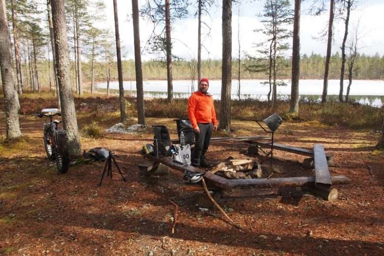
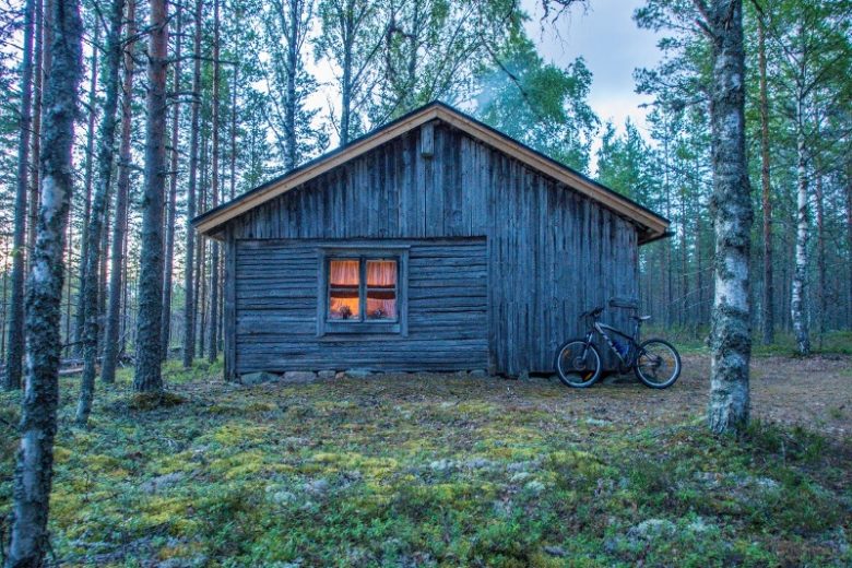
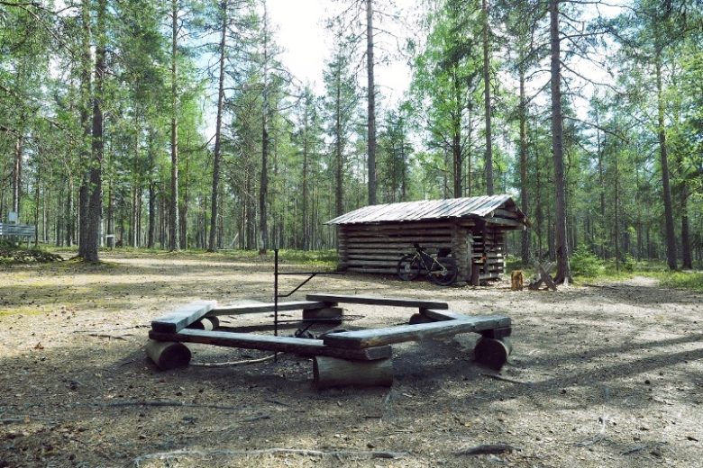
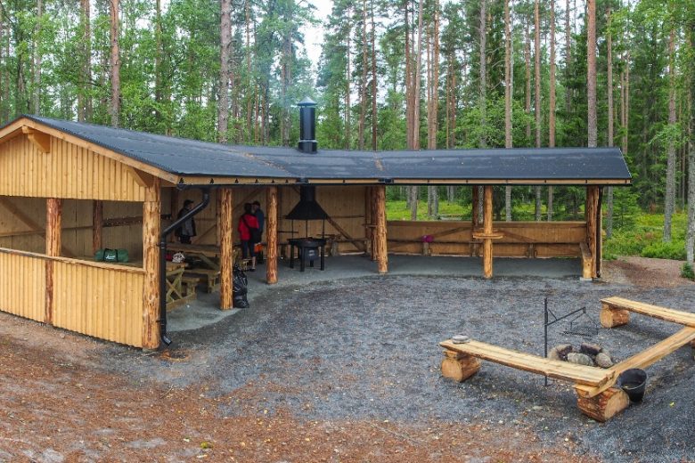
The upper circular route of Lauhanvuori National Park showcases the area's geological development and natural features. From the outermost island on the Finnish coast after the Ice Age, due to land uplift, the highest hill on the west coast has developed, offering a wide forest-dominated landscape from the summit lookout tower. The ancient island area of the summit is surrounded in a circular pattern by numerous hidden ancient shoreline formations, shore terraces, and dunes. The healing waters of Spitaalijärvi refresh especially on hot summer days, and you can spend a longer time at the lakeside resting places. The official starting point for this easy-to-walk route is the Lauhanvuori summit, but it can also be started from the Spitaalijärvi parking area.
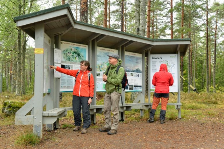
The route is among the key trails of the Lauhanvuori-Hämeenkangas UNESCO Global Geopark.


More about the route
Plan your trip
No public transportation
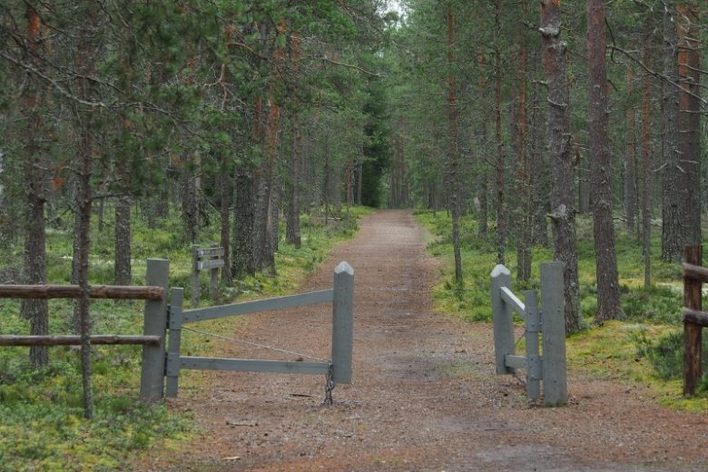
By roadFrom the east side of the national park, on road number 44 between Kankaanpää and Kauhajoki, there are signs to Lauhanvuori National Park in the village of Muurahainen. Follow them for about 5 km until you reach the gently sloping summit of Lauhanvuori. At the summit, there is a parking area on the right side of the road with signs to the trails. An alternative starting point is the Spitaalijärvi parking area about 2 km beyond the summit, where there is a signpost to Spitaalijärvi. The distance from Lauhanvuorentie is about 700 meters.
Coming from the west, follow road number 664 Lappvärti-Honkajoki. After passing through the center of Isojoki, about 1.5 km southeast of the church, there is a junction with signs to Lauhanvuori National Park. Follow the signs and continue about 13 km until you reach the Lauhanvuori summit, where there is a parking area on the left side of the road with signs to the trails. An alternative starting point is the Spitaalijärvi parking area approximately 2 km before the summit, where there is a road sign to Spitaalijärvi. The distance from Lauhanvuorentie is about 700 m.
ParkingFree
Along the way
Similar routes nearby