Koivistonvati kettle hole
Koivistonvati is 350 meters long, 200 meters wide and up to 30 meters deep. It was created after the last ice age, when an iceberg buried in gravel and sand inside Hämeenkangas melted. During the melting, the layers of soil surrounding the iceberg sank into the depression left by the iceberg, resulting in the current shape of the land surface, a steep-edged and deep depression.
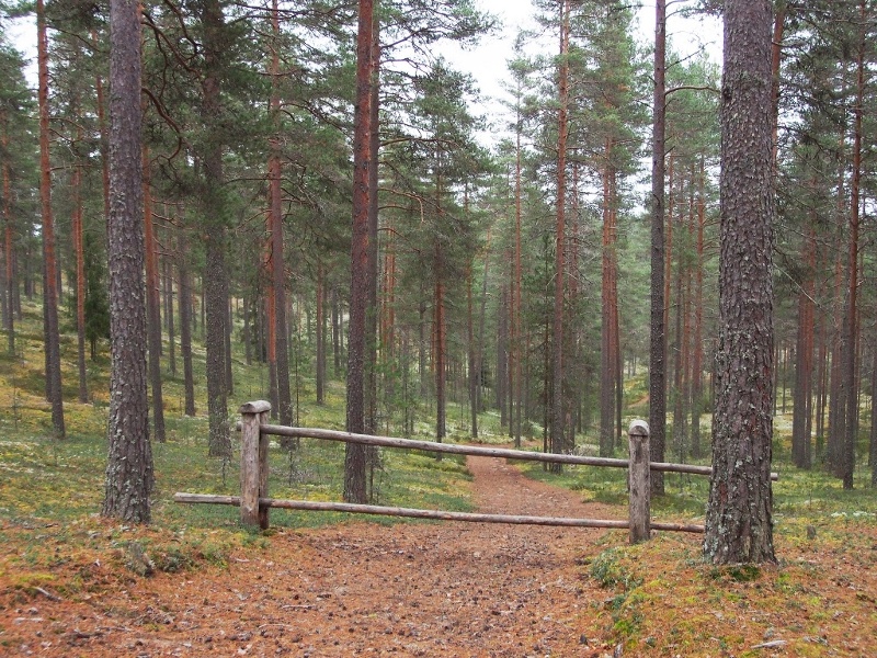
Koivistonvati mainly grows pine forest. At its deepest point, a small juniper heath grows, which indicates the proximity of groundwater. At the bottom of the basin there is a well where there was a measurement point for the groundwater level. You can get to the bottom of kettle hole along the old cart path.
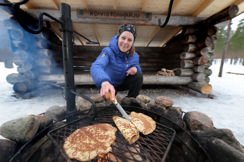
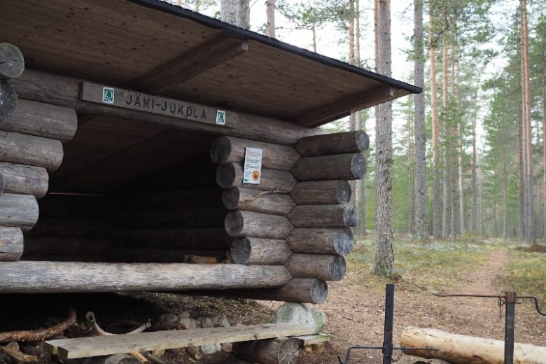
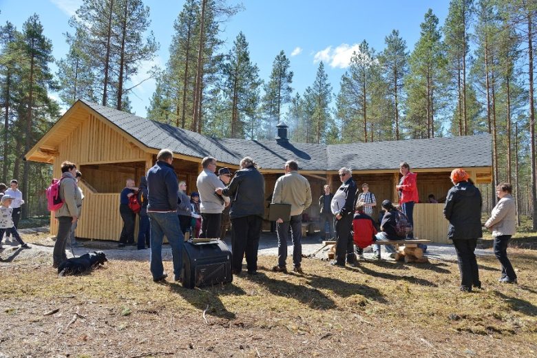
There are two service structures on the edges of Koivistovadi: the Koivistovati cooking shelter and lean-to and the Koivistonharju lean-to shelter. Drinking water is available from a well about 300 meters northwest of Koivistonvati.
See more photos:


Lisätietoja kohteesta
Type of destination
Geotope
Sähköpostiosoite
sisasuomi@metsa.fi
Website
http://www.luontoon.fi
Address
Mielahdentie 240, 38800 Jämijärvi
Pricing
Free.
Plan your trip
Public transport
No public transport.
By roadOn foot or by bike along the routes of Hämeenkangas, by car along Mielahdentie road.
ParkingFree.