Alkkianvuori nature trail in Parkano
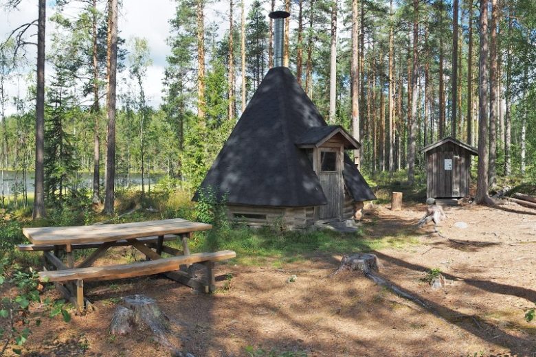
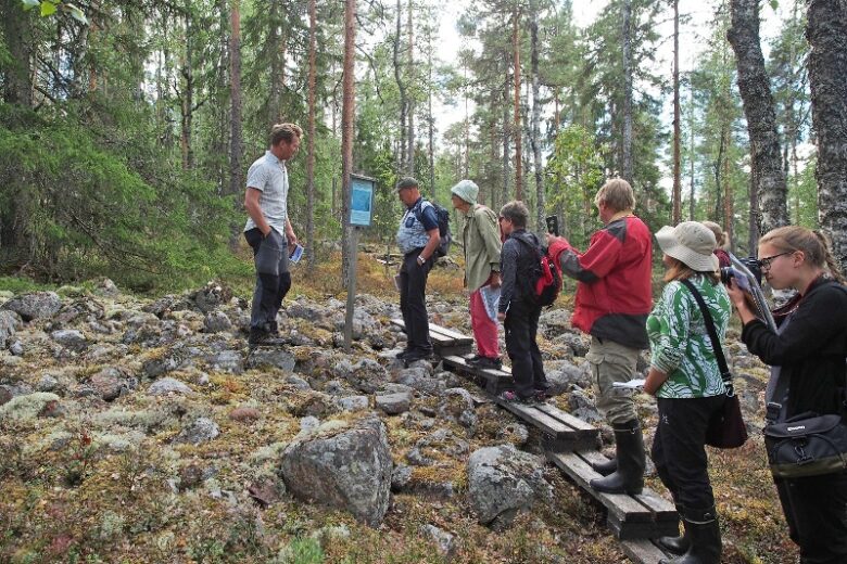
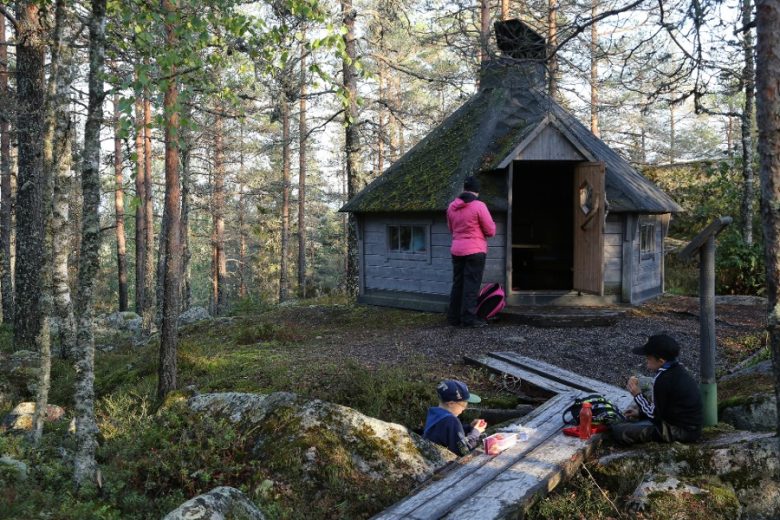
The nature trail of Alkkianvuori runs occasionally through demanding terrain. The starting point of the route is a lapp-hut and a toilet. The route's nature trail panels have QR-guided voice guidance as additional content.
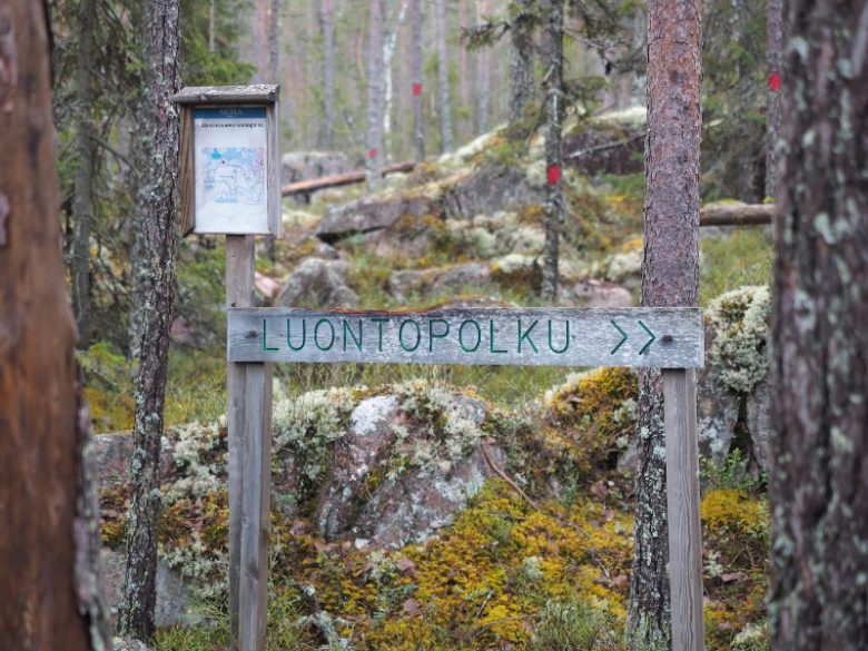
The route is guided with way marks and path signs. The guidance is complemented by the GPX route trail found on Outdooractive.
More about the route
Plan your trip
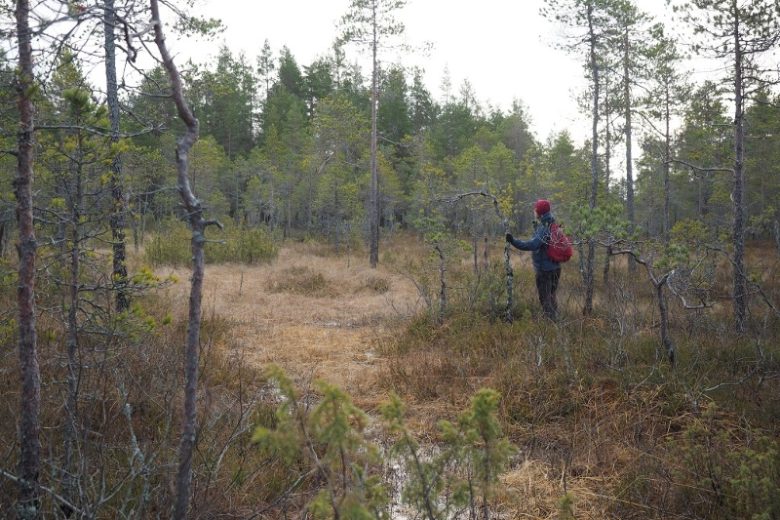
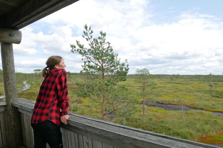
There is a 600 m long duckboard section in the mire. After the beginning of the duckboards of about 100 m there is a crossroads, turning right you can return to Alkkianvuorentie and return to the starting point. After Raatosulkonneva, the path rises to the upper slope of Alkkianvuori. After about 500 m you reach the edge of the first seasonal wetland. Water accumulates in the wetland in the spring, and during the summer the pool dries out. After less than 100 m from the seasonal wetland, you can reach Mukuramänty, a pine with a particularly lumpy body is a protected natural attraction.
About 500 m ahead of the burly pine, you will reach another seasonal wetland, which spreads to the left of the path. The path follows the ancient post-glacial shoreline, which today appears primarily as a difference in forest vegetation. The path descends from the highest beach to the lower slope, and arrives at an intersection. To the right, connect to the southern parking lot of Alkkianvuori.
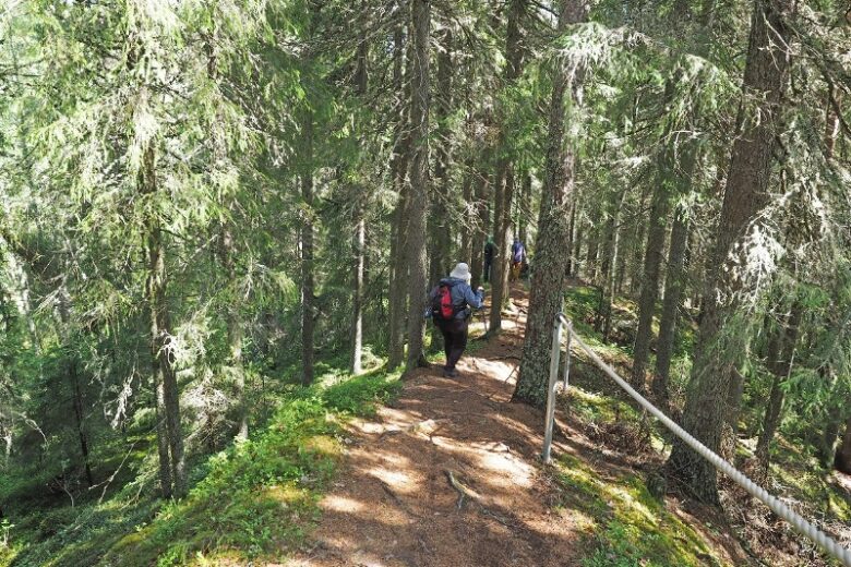
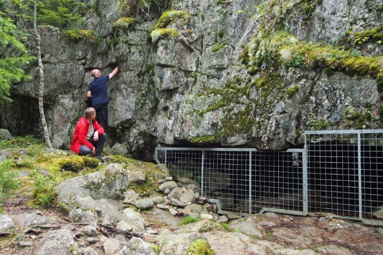
The path continues to the left of the intersection and rises again to the level of the highest shoreline and continues from there into the spruce forest. After about 600 m of spruce forest, the path reaches the top of Alkkianvuori, where there are the ruins of an old triangulation tower. From the top, the path descends lower to the cliffs of the northern slope, which offer views of the surrounding forest landscape. About 200 m from the top there is an intersection from which the route continues to the left. Now follows a section of about 700 m with several demanding points. Arriving under a rocky slope, you will reach a crossroads, from where you turn right. After about 100 m the route returns to the starting point.
No public transport.
By roadSign posts to Alkkianvuori from the Alkkiantie road.
ParkingFree

