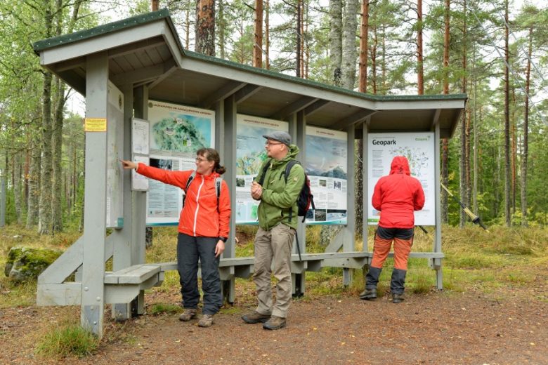
Geodiversity hotspot
Lauhanvuori National Park is the most geologically diverse area in our Geopark. Its soil and bedrock show almost all of the elements of the Geopark theme From Mountains to mires:
- the rise and fall of the ancient Svecofennian mountain range,
- remnants of lost sedimentary rock cover,
- ancient climate variations,
- diverse soil cover formed during the Ice age,
- the impact of the post-glacial uplift and the Ancylus Lake stage on the soil,
- different stages and forms of mire formation,
- the formation of lakes and ponds,
- the birth of groundwater,
- springs and their impact on the waters and nature of the area, and
- the impact of geology on man and cultural heritage.
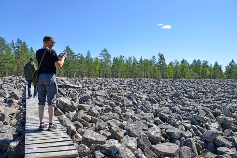
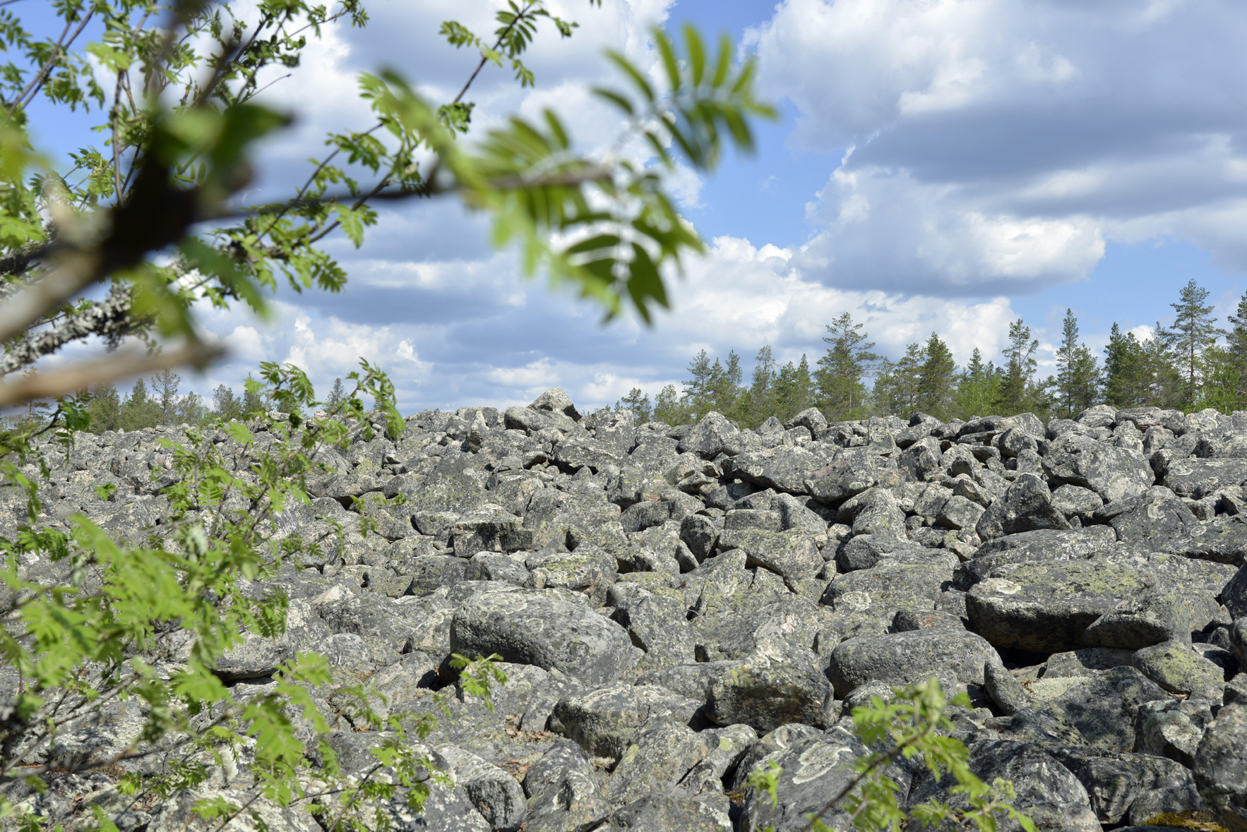
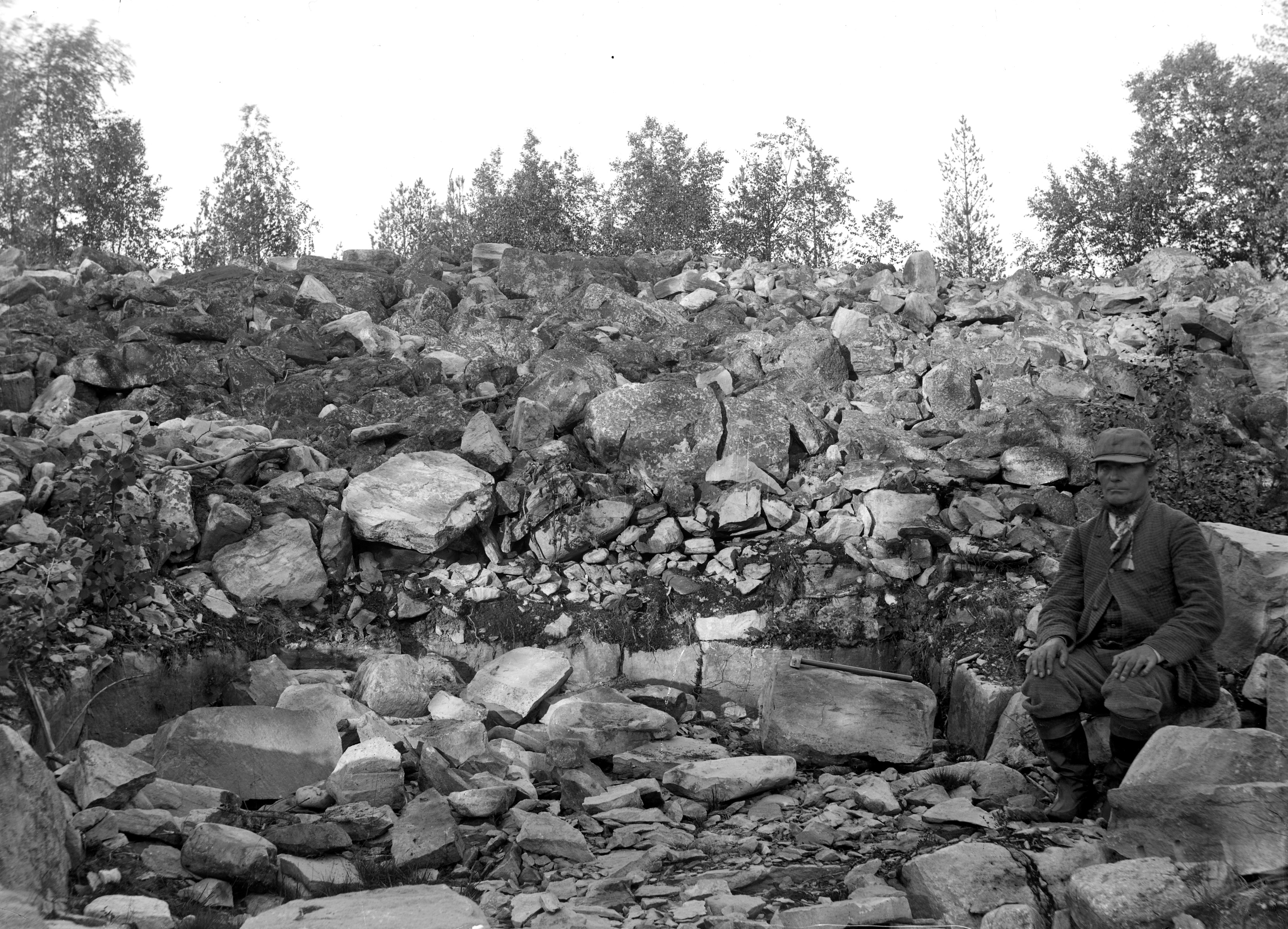
Of Geopark’s 53 geosites, 16 are located on Lauhanvuori. The most spectacular of these is Kivijata.
Remnants of ancient mountains
Lauhanvuori National Park covers Finland’s only sandstone remnant mountain. The sandstone layers that originated on the shores of the ancient tropical sea are a remnant of the stone cover that once covered Finland more widely, which has since been almost completely worn away, revealing the ancient bedrock so familiar to us.
The sandstone tells the story of an ancient great change. Once upon a time, a mountain range similar to the Alps rose across our country. It was later destroyed – it slowly crumbled into small grains of sand that carried with the water to the bottom of the ancient sea.
Extreme weathering left behind minerals such as quartz, which is resistant to weathering. The sandstone of Lauhanvuori consists mainly of this pale and hard mineral. However, there are coarser pieces of stone in it, including granite and clay stone. The sandstone tells us what kind of stones that ancient mountain consisted of.
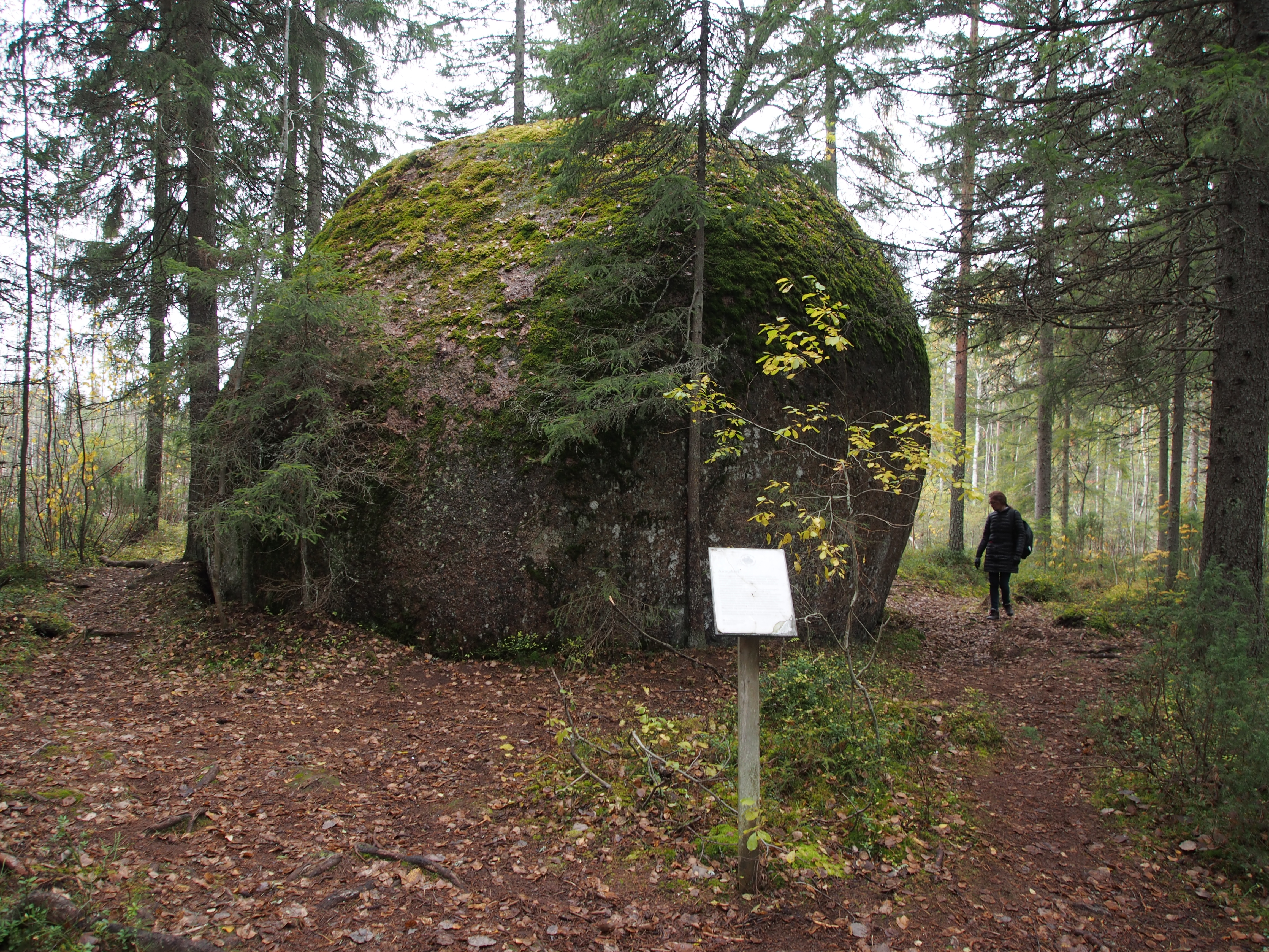
The Tors at the foot of Lauhanvuori – round-shaped stones that rise from the ground like large boulders – also tell about the change in the ancient landscape. They tell of ancient warm climates in which weathering spread deep into the rock and disintegrated the bedrock. On the lower slopes of Lauhanvuori, there are large areas where the soil consists of loose weathering deposits.
The soil tells of the ice ages
The soil of Lauhanvuori tells the story of the ice age – not only of the last ice age, but also of those before. The ice ages are known as Elster, Saale and Veiksel. They deposited several stages of different soil strata in the area. For some reason, in the vicinity of Lauhanvuori, these strata also survived, unlike in much of the rest of Finland, where the new ice age always wiped out traces of the previous one. Why?
The preservation of the soil layers of Lauhanvuori is explained by the location of the area between the active glacial flows. The area was spared the worst consumption, and therefore a large number of strata older than the last ice age have survived here. The ice age was exceptionally gentle in the area, although in practise it was immensely cold.
The reason for the gentle but cold ice age has been sought in the ground shapes, soil structure and climate of the area. Perhaps Lauhanvuori, as a high terrain, collected so much snow at the beginning of the ice age that a local glacier cap was created there, which protected the area from the Fennoscandian continental glacier that spreads there from the northwest. On the northwest side of the area, the ground also rises reasonably sharply from the coastal lowlands – it has been easier for ice to flow from the east and west sides of the area.
Nature in Lauhanvuori is special
The soil of the area has a trait from the last ice age that has a strong impact on its nature. The soil has been heavily washed away when Lauhanvuori was a lonely island in post-glacial Ancylus sea.
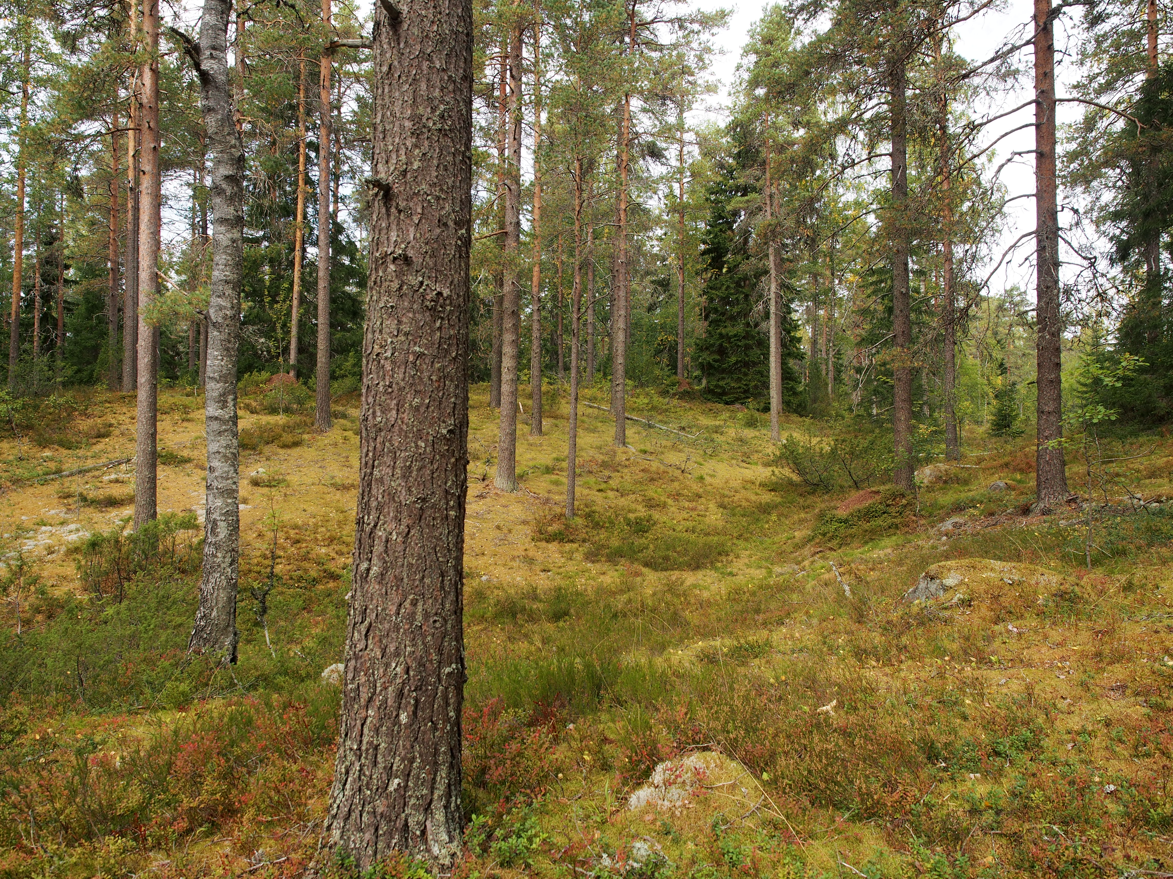
The waves milled the moraine landscapes of the higher grounds of the area to a thickness of several meters and washed the fines out of the till. Sand and gravel remained. Therefore, the area has extensive groundwater accumulation areas, springs, sandy pine forested heathlands and also bogs. The nature enriched by groundwater is one of the most significant specialties of the area. Lauhanvuori has been titled as one of Finland’s natural wonders.
On Lauhanvuori, groundwater feeds and maintains a wide variety of environments. Springs and streams, groundwater-influenced bogs and seasonal wetlands are the habitats in which groundwater plays a major role. The interaction between surface waters and groundwater is exceptionally strong, especially in seasonal wetlands, which are lakes in the spring but turn into grasslands over the course of summer as water seeps into the soil.
The impact of the washed-out soil on nature is most pronounced near the top of Lauhanvuori, where the soil above the highest shore is completely different. The original till covered land can be found mainly in the summit of Lauhanvuori, where vegetation is greener than the rugged slopes.
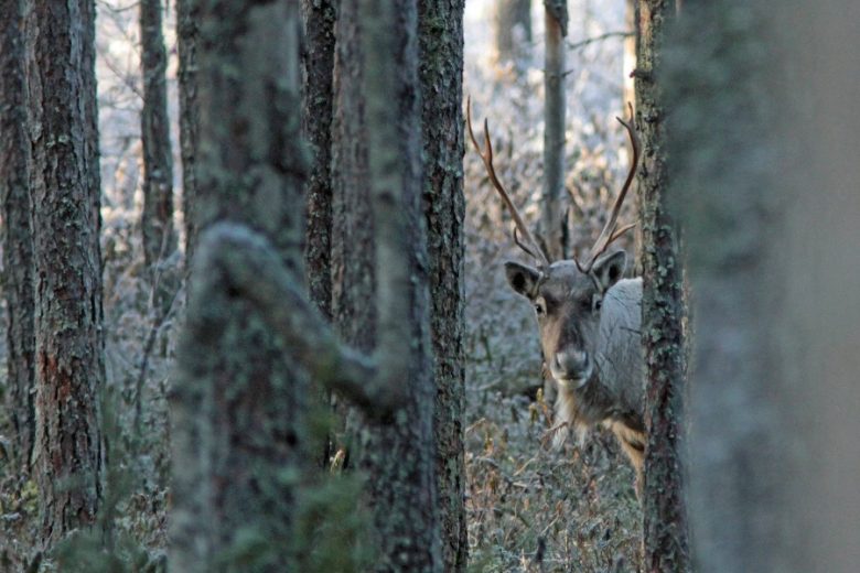
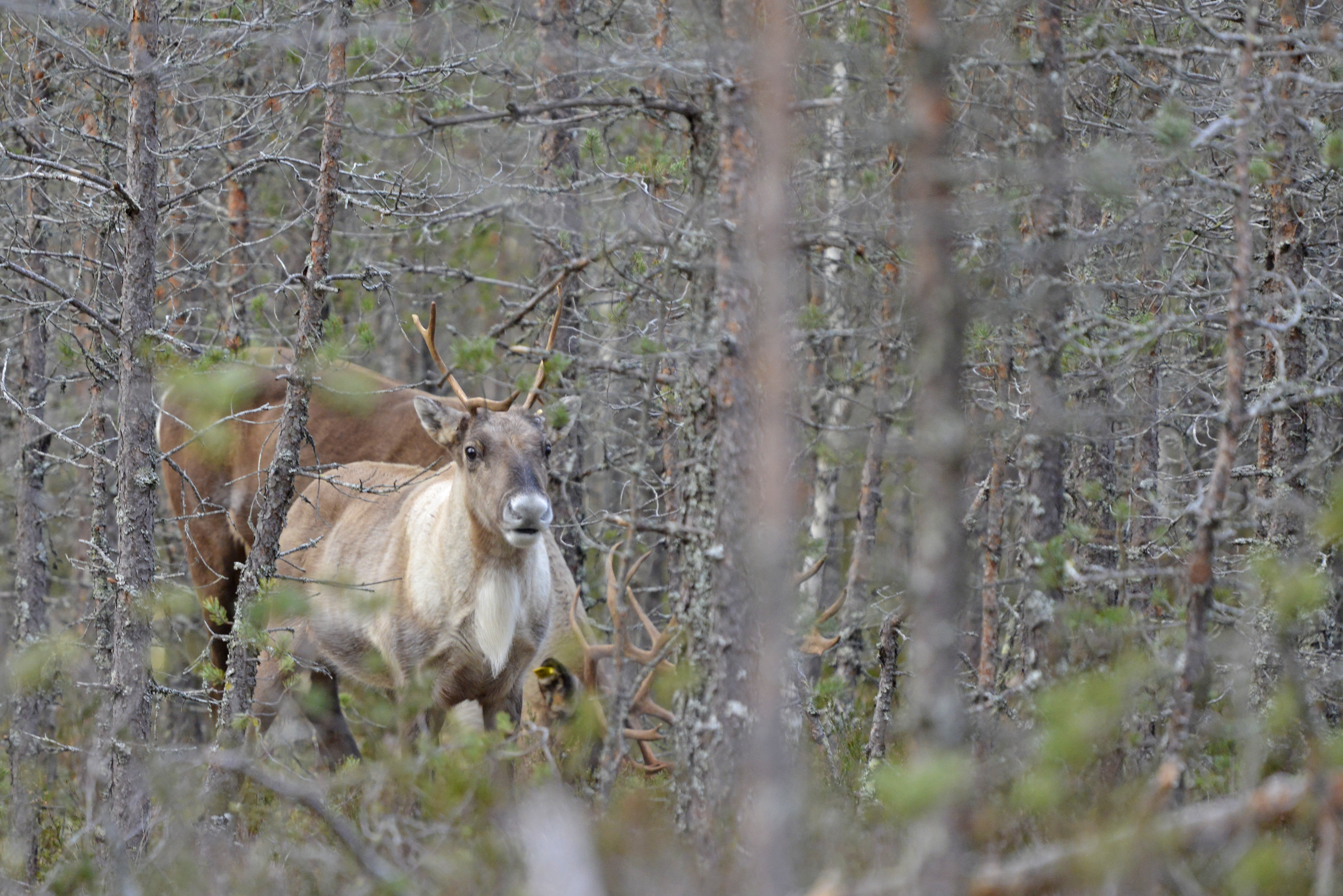
The rugged slopes, mosaics of pine covered heathland and bogs are also suitable for the area’s newest newcomer, the finnish forest reindeer, which is actually a returnee. The species was removed from the area a hundred years ago and is now returning to the area’s nature with the Metsäpeura-LIFE project. One of the project’s forest reindeer fences is located on Lauhanvuori.
Cultural heritage of forest, stones, midsummer dances and potato
The cultural heritage of Lauhanvuori is the cultural heritage of the wilderness. For a long time, the rugged hinterland was mainly a wilderness for the inhabitants of nearby areas – a destination for hunting trips and a place to get needed wood. Tar was burned on Lauhanvuori and there were logging sites, old tar pits and the ruins of old logging huts tell about this era. In the end of the 19th century, the millstone industry flourished on Lauhanvuori, the traces of which can still be seen.
As a remote area of land, the area has long been in the possession of the State. Forest fires were a regular nuisance in the area, and firebreaks were cleared in the early part of the last century to prevent the spread of fire to the area. At the same time, the first observations were made of the special soil of the area. Today, those firebreaks are part of the area’s hiking trail network.
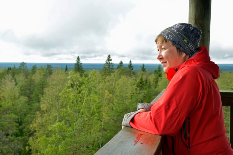
Long ago, fires were guarded from Lauhanvuori. The fire guard was assisted by a tower, from where one could detect possible forest fires from a very large area. From the top of Lauhanvuori there is a view that covers roughly the entire Geopark area.
The summit of Lauhanvuori has also been one of the midsummer celebrations in the area. The bright night of midsummer seemed especially bright on a hill high and almost barren.
Lauhanvuori was once of great importance for potato growing in the area. The Isojoki – Lappväärtinjoki River Valley is today one of the most important concentrations of Finnish potato growing, but frost in river valleys cannot always be avoided. On the mild top of Lauhanvuori, there was rarely any summer frost. Seed potatoes in particular have long been cultivated on the moraine lands of the summit. Lauhanvuori was the gene bank and safe for potato growers in the area, from which seed potatoes were obtained even after the cold years. Metsähallitus still cultivates a small potato field on Lauhanvuori today.
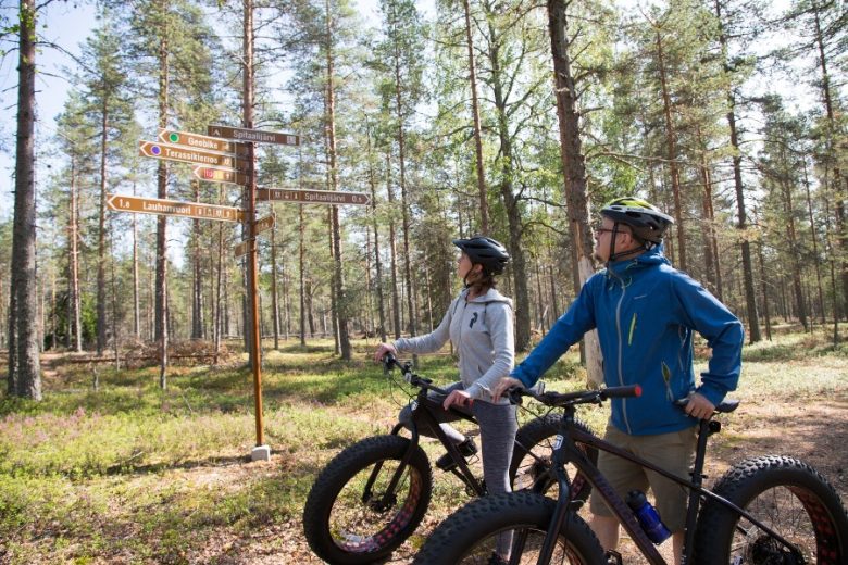
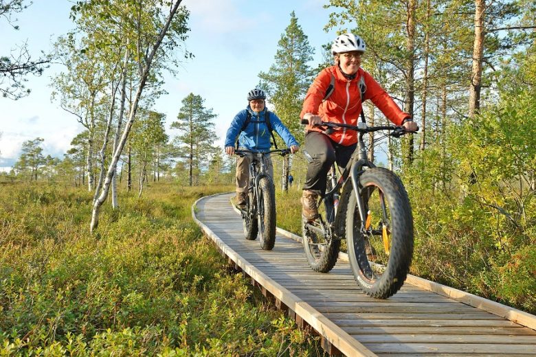
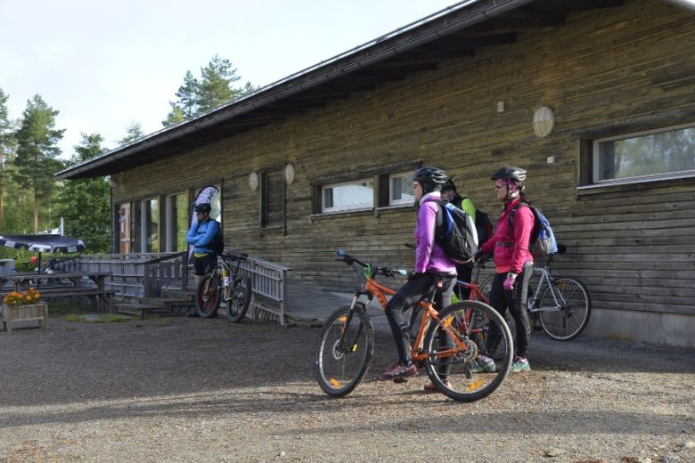
The trails and routes of Lauhanvuori
Lauhanvuori’s versatile routes are suitable for both beginners and experienced hikers.