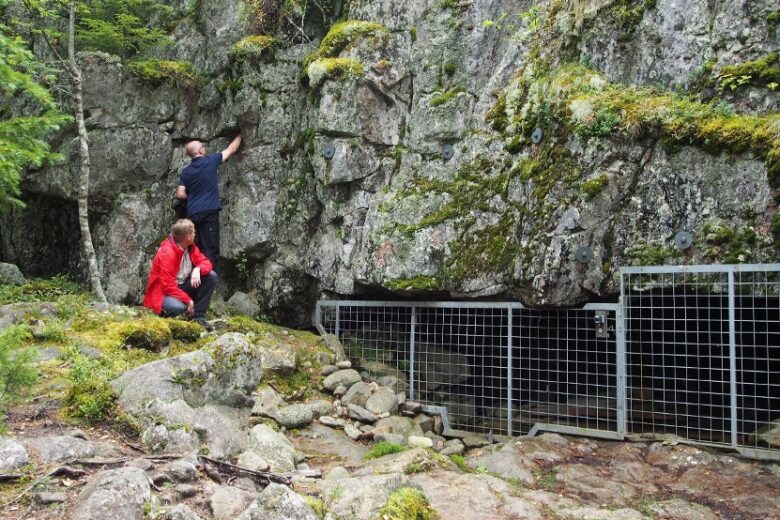
Neva-Lyly - Alkkianvuori trail
The trail can be hiked in either direction. For the most spectacular scenery, walk the trail from north to south; at the end of the trail, a magnificent view opens up of Alkkianlampi lake and the forest covered Alkkianvuori hill rising behind it. At both ends of the connecting trail, there are loop trails and rest areas available at both Neva-Lyly and Alkkianvuori. Neva-Lyly features a sauna and a swimming beach, while Alkkianvuori offers a sauna cabin for rent, where you can also spend the night. Drinking water is available from the well at Neva-Lyly.


More about the route
Plan your trip
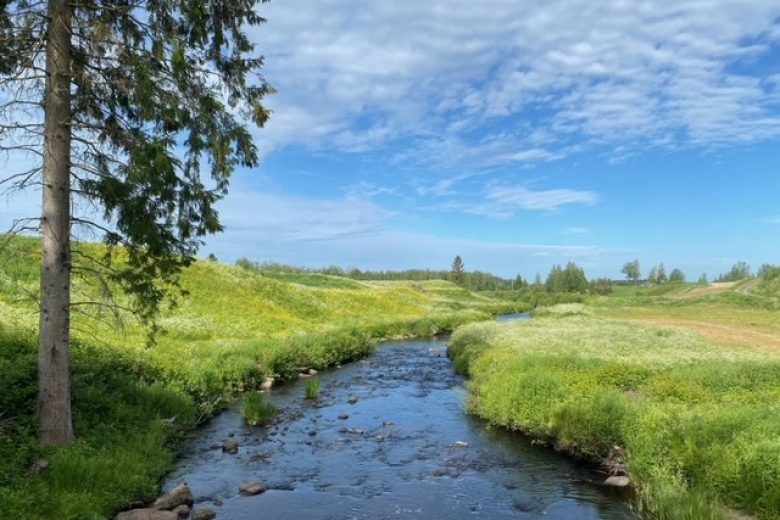
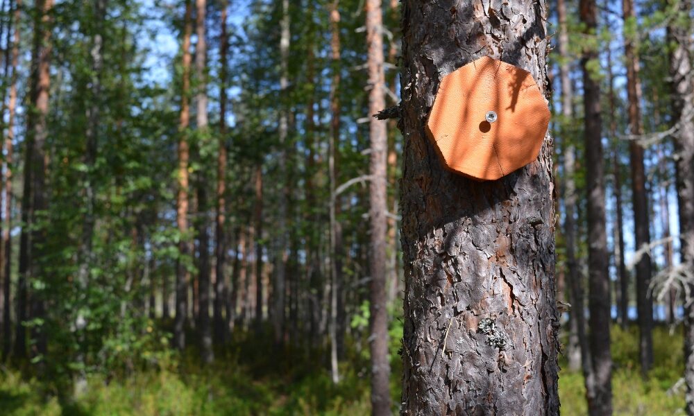
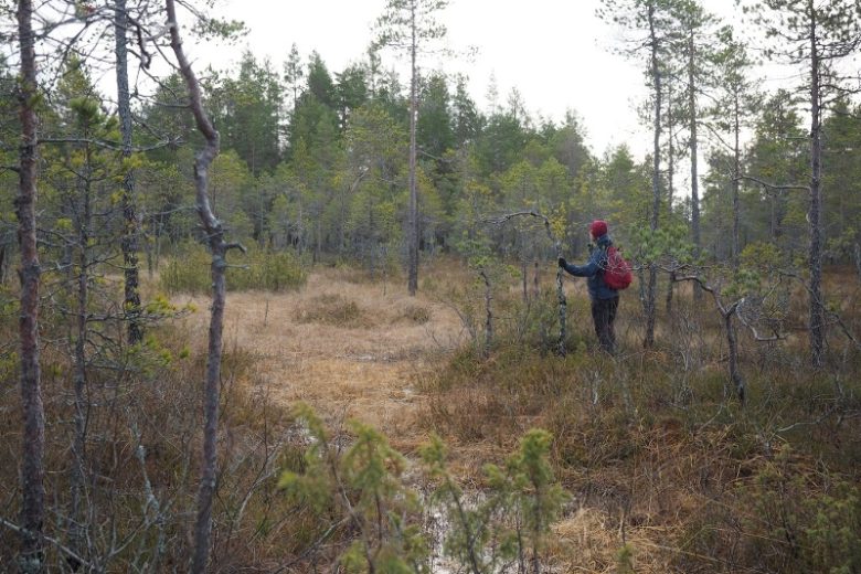
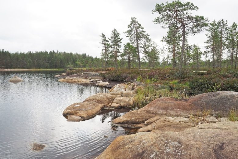
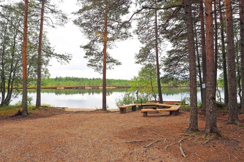
Cross the road, being careful of traffic, and the trail continues on its south side for about 200 m through mire terrain along the stream until it climbs a moraine hill called Kivinenmäki. On the eastern edge of Kivinenmäki hill, the trail runs for about 300 m before descending back to the stream bank, where there is a deciduous spruce forest. After about 270 m, the trail crosses the municipal boundary between Karvia and Parkano, as well as the provincial boundary between Satakunta and Pirkanmaa, which is visible in the terrain as a wide clearing. The trail continues about 300 m south along the edge of a moraine ridge until it reaches the edge of the mire bordering Alkkianlampi. From the shore of Alkkianlampi, a view opens up with Alkkianvuori rising in the background.
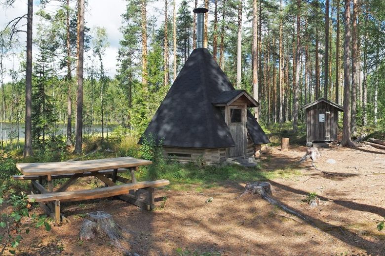
The trail continues along a boardwalk for about 300 m south until it reaches the edge of the forest. The trail continues for another 50 m to a road running at the foot of Alkkianvuori hill, where the trail ends. About 300 m east of the trail’s endpoint (to the left as you walk) is the Alkkianlampi shelter and dry toilet. Return along the same route.
No public transport.
By roadAlong Alkkiantie (Road No. 13311), there are signs for Neva-Lyly from two different junctions. When approaching from the west—that is, from the direction of Karvia—the first junction is suitable for larger vehicles. If you take the second junction, you’ll pass beautiful lake scenery along the way, but there is a weight-restricted bridge on the road. When approaching from the east via Highway 3, the weight-restricted route is via the first turnoff; the second turnoff is suitable even for heavier vehicles.From Alkkiantie, follow the signs to Neva-Lyly. The distance from the paved road is approximately 1.8–2.0 km, depending on the route you choose.
ParkingFree
Along the way


Similar routes nearby