Neva-Lyly
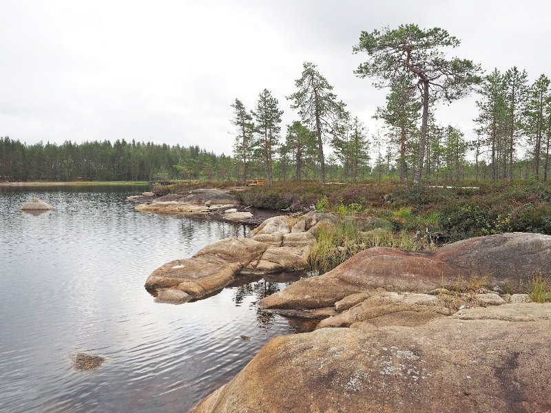
The oldest geological formations of Neva-Lyly are the granite rocks of the lake's western shore. The remains of the roots of the ancient Svekofennide mountain range have worn smooth at the latest during the ice age, during which the esker on the eastern shore of the lake was created. It tells about a glacial river that flowed from north to south at the end of the last ice age. After the Ice Age, Stone Age people walked on the same ridge, digging pits to hunt reindeer on a long and narrow ridge surrounded by mires.
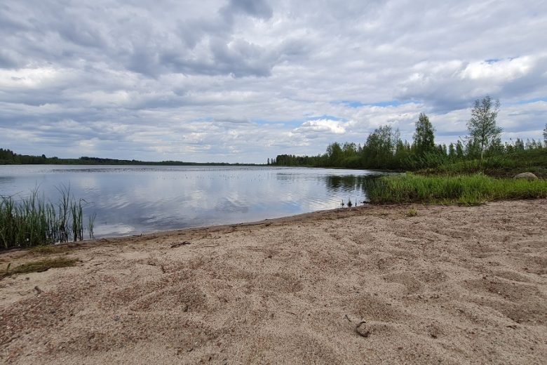
At the bottom of Neva-Lyly, there are plenty of tree stumps buried in the peat. So a forest once grew there. The western and northern shores of the lake are dominated by mires. Neva-Lyly does not have a drainage channel, its waters filter into a mire on the north bank, along the surface of which they flow northeast towards Lake Kärppäjärvi. In the 1990s, peat was excavated from the north side of the lake, today the former peat production area is protected as a bird wetland.
See more photos:


Lisätietoja kohteesta
Type of destination
Geotope
Sähköpostiosoite
info@willikarvia.fi
Website
http://www.lhgeopark.fi/en
Address
Alkkiantie 1451, 39930 Karvia
Plan your trip
Public transport
No public transport.
By roadFrom Highway 3 Vaasantie, turn onto Alkkiantie, drive 8.4 km in the direction of Karvia and turn right onto a dirt road. Drive 1.3 km and turn left. After 550 m you will reach Neva-Lyly.From the direction of Karvia, turn left at Kyläkauppa Käntynmäki to Alkkiantie, drive 14.2 km and turn left onto the dirt road. Drive 1.3 km and turn left. After 550 m you will reach Neva-Lyly.
ParkingFree