Pirkan's Career
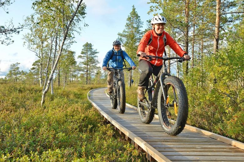
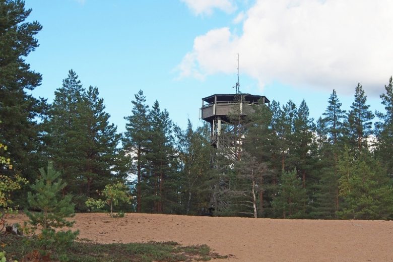
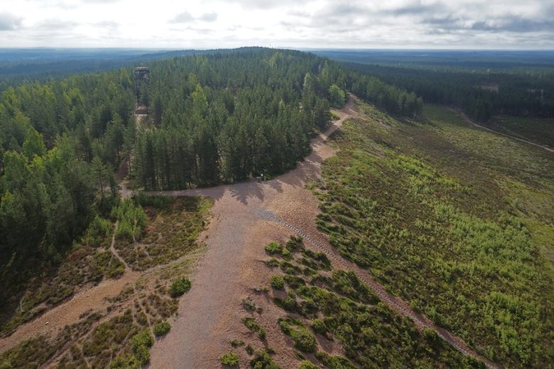
In winter, the trail is used as a cross-country ski track by Pirkan Hiihto; in summer, it serves as a hiking and mountain biking trail. Along the route, you’ll find lodging and dining options, as well as swimming spots at Kuninkaanlähde in Kankaanpää and Jämi. Highlights of the route include the Soininharju and Niiniharju ridges in Jämi, the magnificent Vatulanharju, and Ulvaanharju.
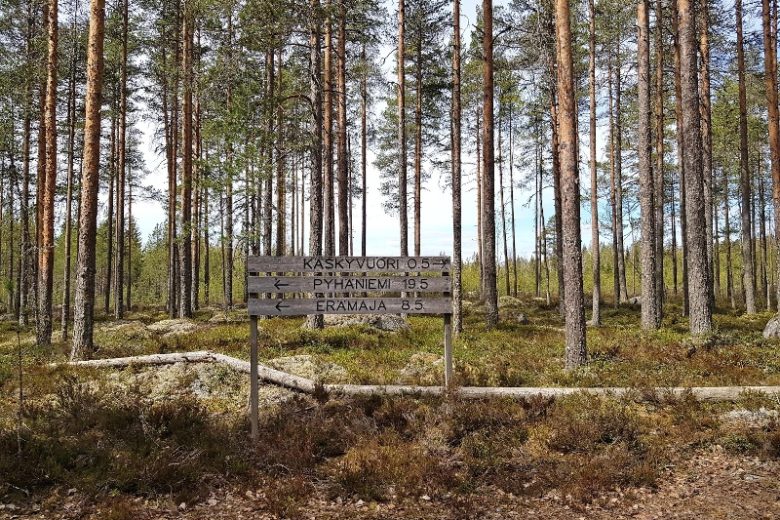
The route is marked with Pirkan ura and MTB signage as well as trail markers. The marking method varies depending on the maintainer—we recommend navigating using a GPX track. Part of the route runs along a public road.
Hämeenkangas is a training area for the Finnish Defense Forces, and training units are often present there. Please take this into account when planning your trip. For more information on current movement restrictions, contact the Pori Brigade at (02) 99 800
This route is part of a larger network that stretches from Niinisalo to Tampere.


More about the route
Plan your trip
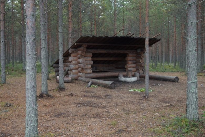
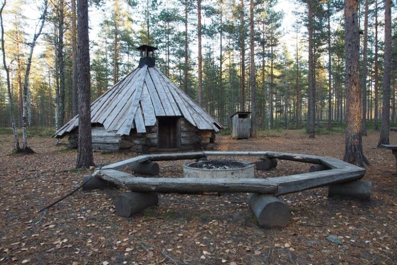
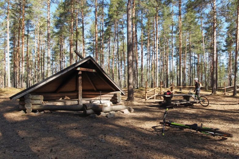
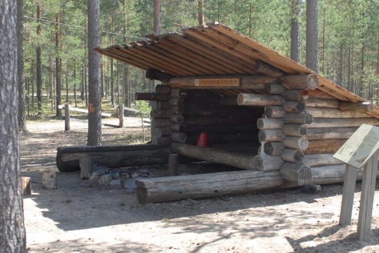
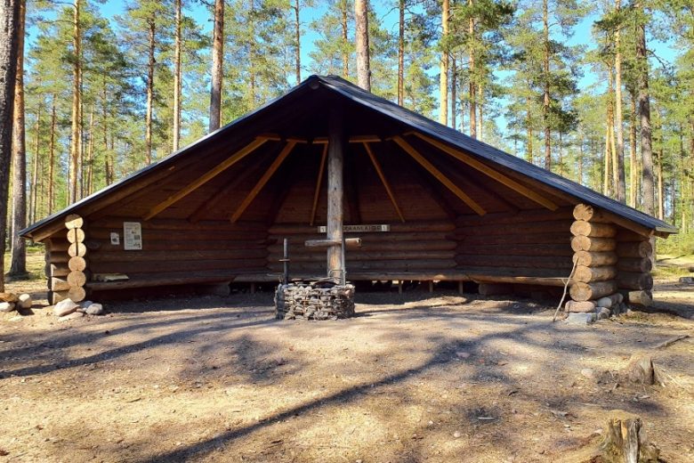
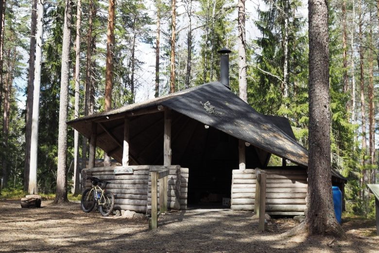
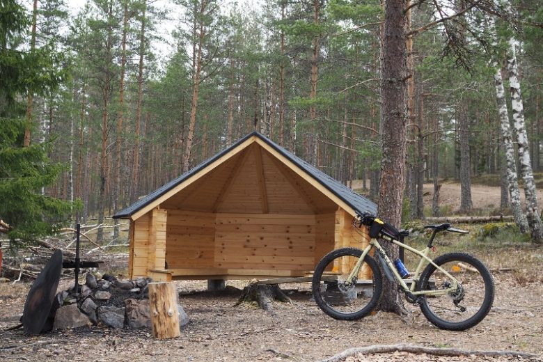
After crossing Kuninkaanlähteentie, follow the trail markers from the parking area. After about 300 m, at the intersection, signs point to the right toward the Kuninkaanlähde halfway cabin, which has an outhouse. The trail continues straight from the intersection; after about 1 km, turn left at the intersection. Continue straight ahead, following the trail markers, until, after 1.8 km, you turn right at the intersection and then immediately left. About 900 m ahead, turn left at a sharp bend and continue for about 600 m. On the right side of the trail is the Ruskalaavu rest area, which has a well and an outhouse.
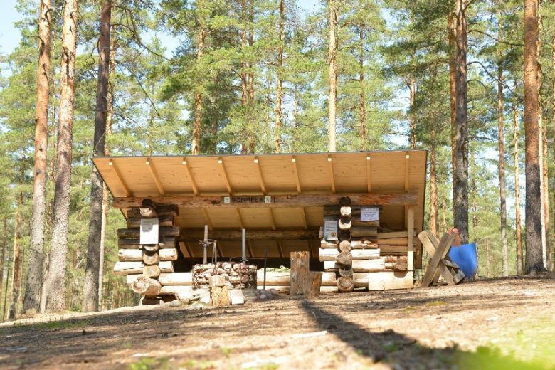
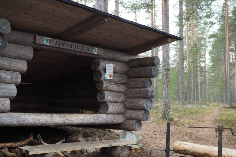
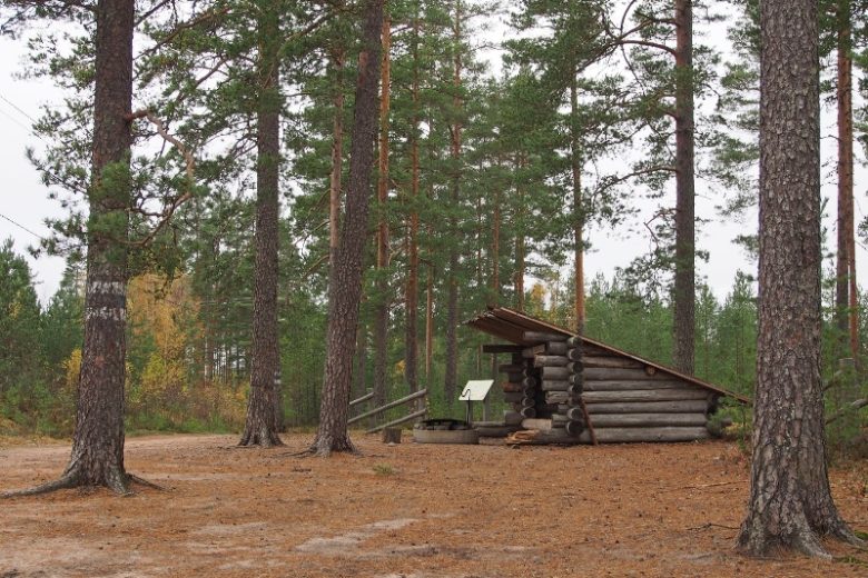
From Ruskalaavu, continue following the trail markers for about 1 km, then turn right at the intersection. Continue for about 100 m, then turn left. Continue straight ahead for 2 km, following the trail. The trail now crosses a forest road. Continue along the trail for 1.2 km to the Sormela rest area. From the rest area, continue along the trail for 1.2 km until you reach a road intersection. Cross Sormelantie and continue along the trail, which for the next 500 m follows the edge of the airport area and then ascends to the main information point for the Jämi trails. On your left are the Jämi Hotel and Restaurant, as well as the tourist area, offering dining and lodging options.
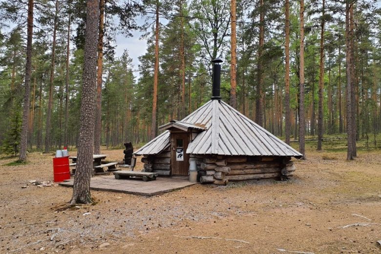
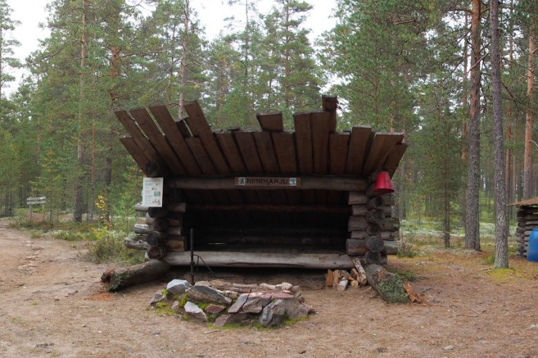
From the main information point, the trail continues along the flat central terrace of Hämeenkangas for about 1 km and then climbs for about 1 km to the top of Niiniharju, where Niinikota and an outhouse are located on the right.
From Niinikota, continue following the trail markers; the trail reaches the highest point of the ridge and follows it. About 900 m further on, you’ll cross a forest road. The trail continues straight for about 1.2 km, with a few intersecting trails along the way. You’ll reach a junction where the trail continues gently to the right. From this junction, you can take a detour to Koivistonvadi, which is about 1 km away on the left. The trail now continues straight for about 600 m and then turns left just before Kyrönkankaantie. The section maintained by Metsähallitus ends here; you can either return along the same route or continue on to the section maintained by Ikaalinen.
No public transportation
By roadTake Route 23 or 44 to Kankaanpää; from the south side of the city center, turn off Route 44 at the Pansia intersection, continue for about 2.3 km, then turn left, following the signs, toward the Viidentie intersection in Hämeenkangas, and continue for about 3 km. Upon arrival, park on the right side of the road.
ParkingFree
Along the way

Similar routes nearby