Kyrönkangas Museum Road from Nummijärvi to Kantti
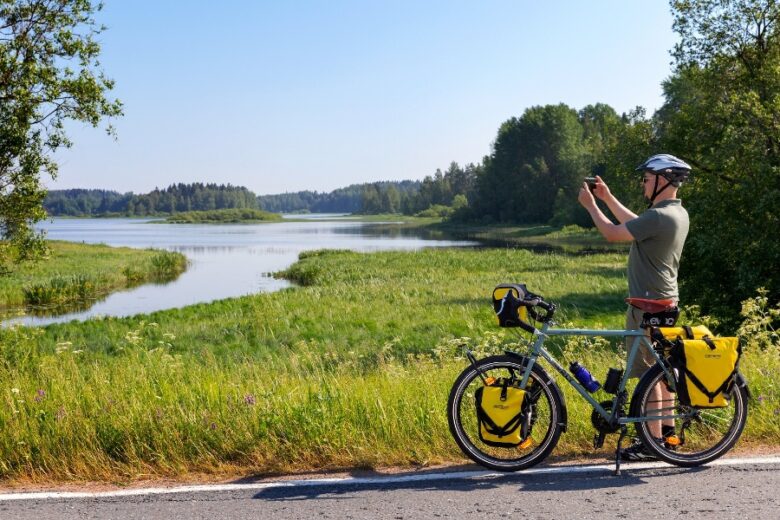
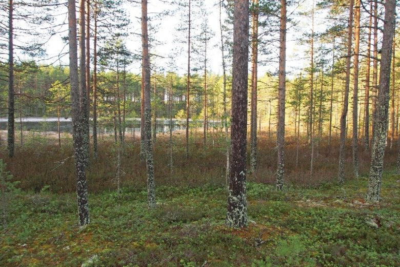
The route follows one of Finland's historic main routes, the old Kyrönkangas road, which in the Middle Ages connected the castles of Turku and Korsholm. Kyrönkangas Museum Road is an archaeological site and a cycling route maintained by the municipalities of Karvia and Kauhajoki. The route passes through the Kauhaneva - Pohjankangas National Park from north to south. Along the route are recreational services at locations such as Nummikangas, Salomaa, and Kantinkangas.
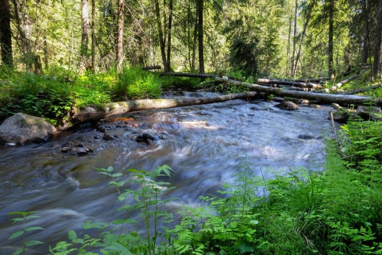
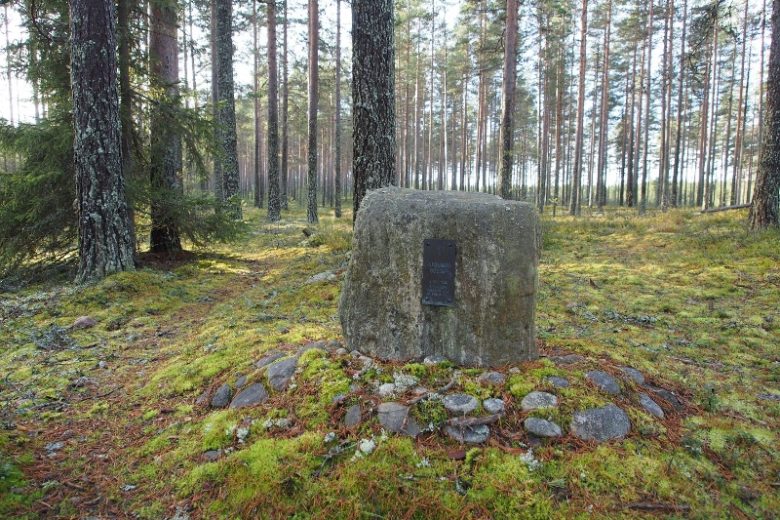
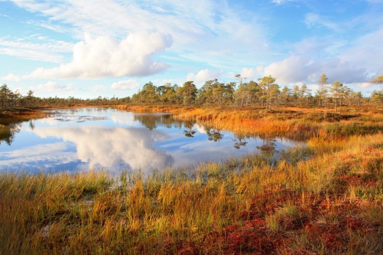
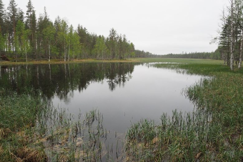
Swedish King Adolf Frederick traveled the Kyrönkangas road during his journey to Finland in 1752. After the Finnish War, new roads were built that displaced the Kyrönkangas road, and it remained mainly in local traffic use. The section of the route crossing Kauhaneva was still used for vehicle traffic in the 1950s. Today, the Kauhaneva section is gravelled and partly wooden boardwalk. The road is best preserved in its original condition especially around the edges of Kauhaneva.
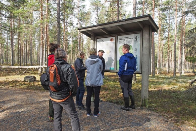
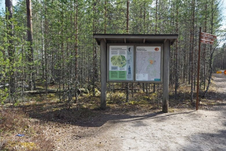
The route is marked with a GPX track available from Outdooractive. Signage at road junctions complements the guidance along the route.


More about the route
Plan your trip
From the campsite parking area, head towards Nummijärventie and continue south for about 1.7 km. On the right side of the road is the Karst depression of Lapinkaivo and behind it rises the rocky Lapinharju ridge. From Lapinkaivo, continue on Nummijärventie about 500 m south and then turn right onto Kauhaenvantie.
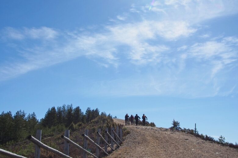
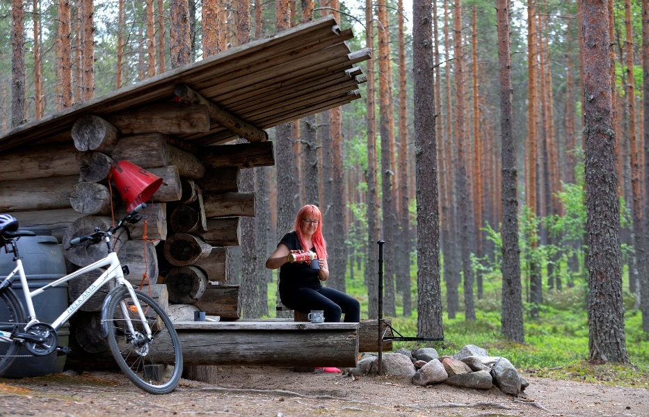
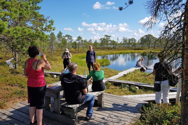
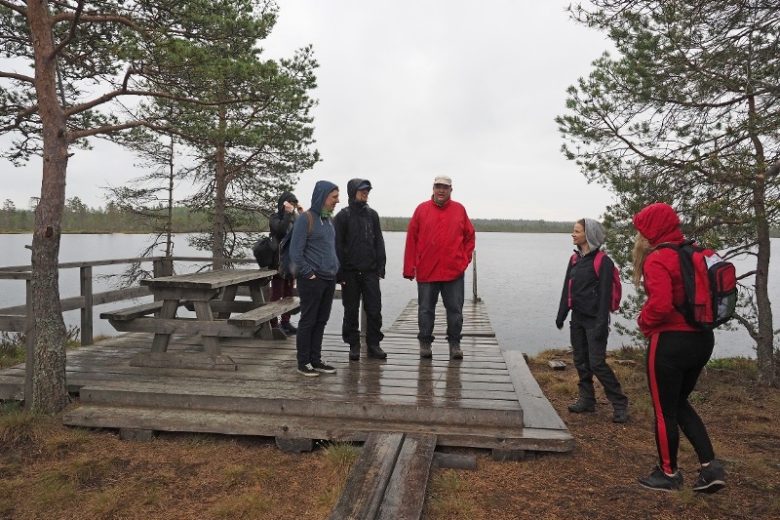
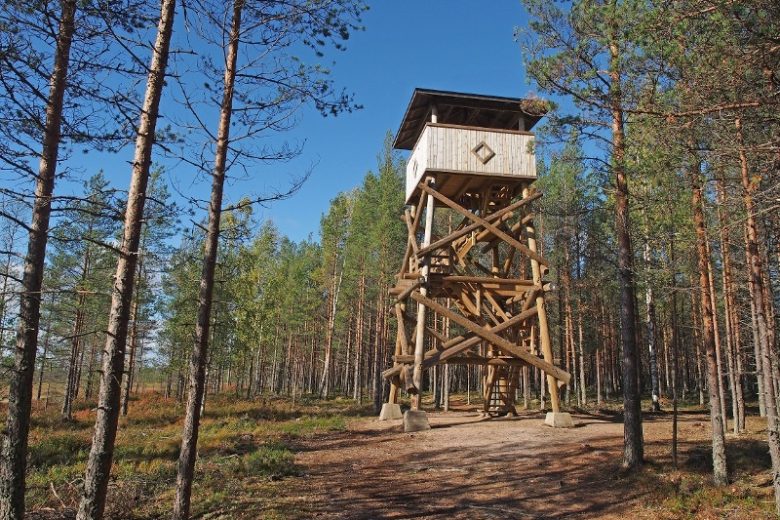
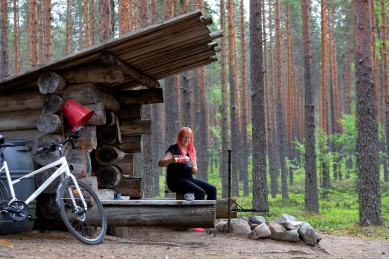
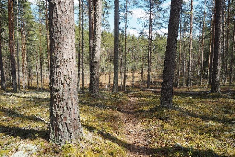
Follow the gravel road south from Lapinharju towards Kauhaneva, which is about 6 km away. Before Kauhaneva, on the right side, is the Nummikangas campfire site, observation tower, well, and toilet. After crossing Kauhaneva, there is an opportunity to detour to Salomaa campfire and camping site, from where there is a gravel path to Salomaa parking area, which has toilets. A well is found at the Salomaa camping area.
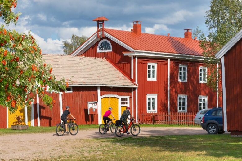
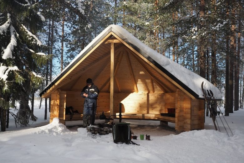
From Salomaa, the route continues 3.5 km to Elliharju where Latikantie is crossed. The route continues along the ridge of Pohjankangas for about 8 km until it crosses Kaappolantie. The route follows the old road for another 1.5 km, where on the left is Karvia Airport's lean-to shelter. About 1 km south from the lean-to, the road merges with Skanssintie and about 500 m later you arrive at Kantti. At the old storehouses, turn left at the T-junction and after about 250 m turn left again onto the light traffic path, which continues about 700 m to the left side of the road where the route's end point, the cultural center Skantz, is located.
Return the same way or alternatively via the Art route.
No public transport.
By roadFrom Kauhajoki to Nummijärvi, continue on highway 44 but do not turn towards Kankaanpää; instead, continue straight on the road which becomes highway 6700 to Nummijärvi. Drive through the village of Nummijärvi and follow the signs to Nummijärvi Camping.
From the south, take highway 44 to Kauhajärvi, turn right onto Kiviluomantie, continue about 5 km and turn right onto Kivijärventie, after about 6 km turn right onto Nummilahdentie and continue about 2 km, then turn left and after about 400 m follow the signs to Nummijärvi Camping.
From the north on highway 3, turn right in Jalasjärvi about 1.7 km after Juustoportti towards Karvia, continue 16 km and turn right towards Nummijärvi. After about 9 km, turn left towards the village of Nummijärvi and after the village follow the signs to Nummijärvi Camping.
From the south on highway 3, turn left at Parkano and after the ramp turn right towards Karvia. In Karvia, turn right and drive through the church village. After about 3 km, turn left at the junction towards Kauhajoki and continue about 19 km, then follow the signs to the left towards Nummijärvi Camping.
ParkingRecommended parking next to Nummijärvi campsite. Parking is free.
www.lhgeopark.fi
Along the way
Similar routes nearby