Skip to content
Front pageRoutesThe Accessible Nature Trail at Kuninkaanlähde

The Accessible Nature Trail at Kuninkaanlähde

Distance 0,5 km
Duration 0h 5min
Easy
Kuninkaanlähde is one of the best-known springs in the Geopark area. It is located on the southwestern slope of Hämeenkangas. The spring is one of the most productive in Hämeenkangas and feeds the abundant Kuninkaanlähde Stream, which flows into the Vihteljärvi valley and the scenic area.

Kuninkaanlähde is named after King Adolf Fredrik. He and his entourage stopped by the spring in 1752 while traveling through Finland on their way north. The king traveled along the Kyrönkangas Road, one of Finland’s medieval highways. The road was known for its wilderness, as there were only a few houses along the nearly 100-kilometer stretch running from Hämeenkangas to Pohjankangas.

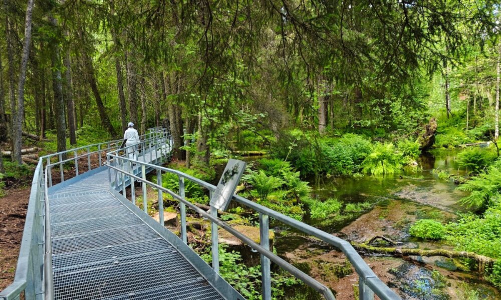
Kuninkaanlähde was already a tourist hub in the 19th century. Near the spring, there is a small hotel, a RV park, restaurants, and other services. The Pirkan Trail runs close to the spring. The spring is easily accessible via a new, barrier-free trail. The trail starts at a new parking area built along Kyrönkankaantie.
More about the route

Difficulty
Easy
Distance
0,5 km
Duration
0:5 h
Ascent
5 m
Descent
5 m
Highest point
108 m
Lowest point
103 m
Information maintained by

Plan your trip

The trailhead is at the western end of the P area, near the information signs, where a wide, gravel path begins. Follow the trail to the spring. From the spring, the trail continues as an accessible footbridge along the stream until you reach the turnaround point. Return via the same route.
Public transport

No public transportation.

By road

Signs for Kuninkaanlähde from Route 44.

Parking

Free.

Outdoor gear.
'Healthy climate'
Accessibility
Cultural/historical interest
Family-friendly
Fauna
Flora
Geological highlights
Out and back
Scenic
Suitable for strollers

Cookie settings | Privacy statement | Accessibility statement | Copyright 2023