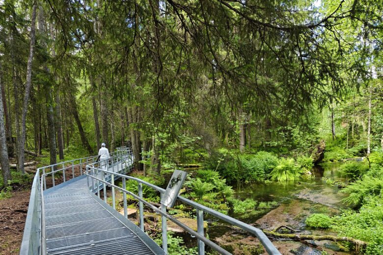
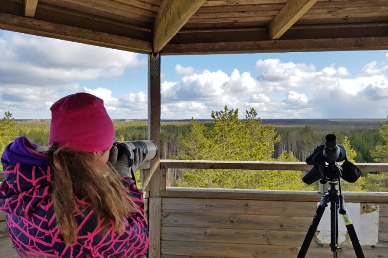
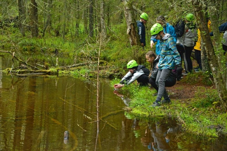
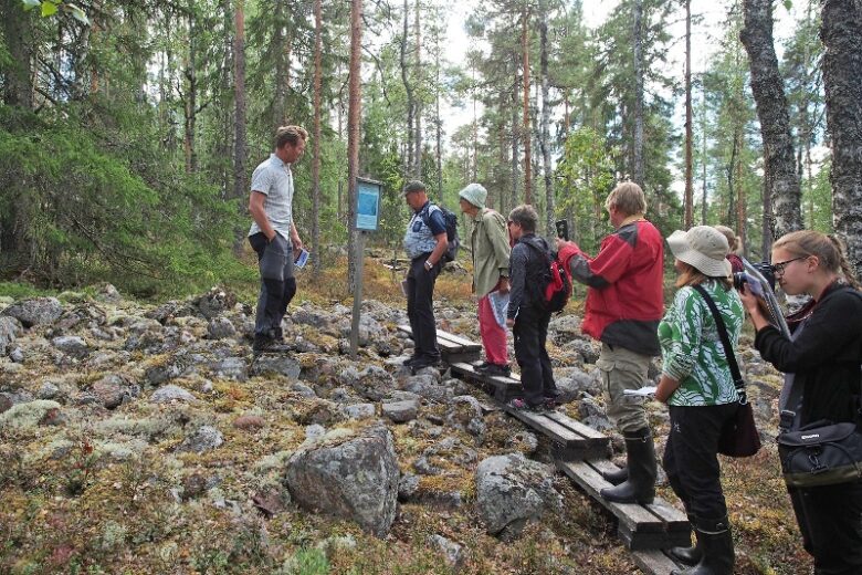
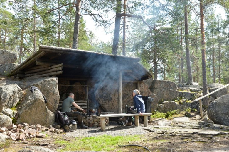
Enchanting mires
In the heart of the mire – the diverse mires that dot the vast landscape of the Geopark area show both the southern and northern nature of the area. Like the mires, the Geopark area lies on a boundary between two worlds.
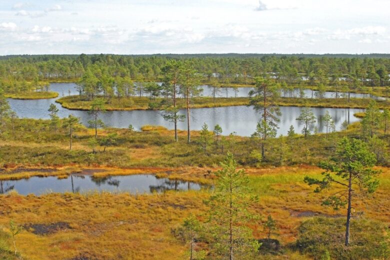

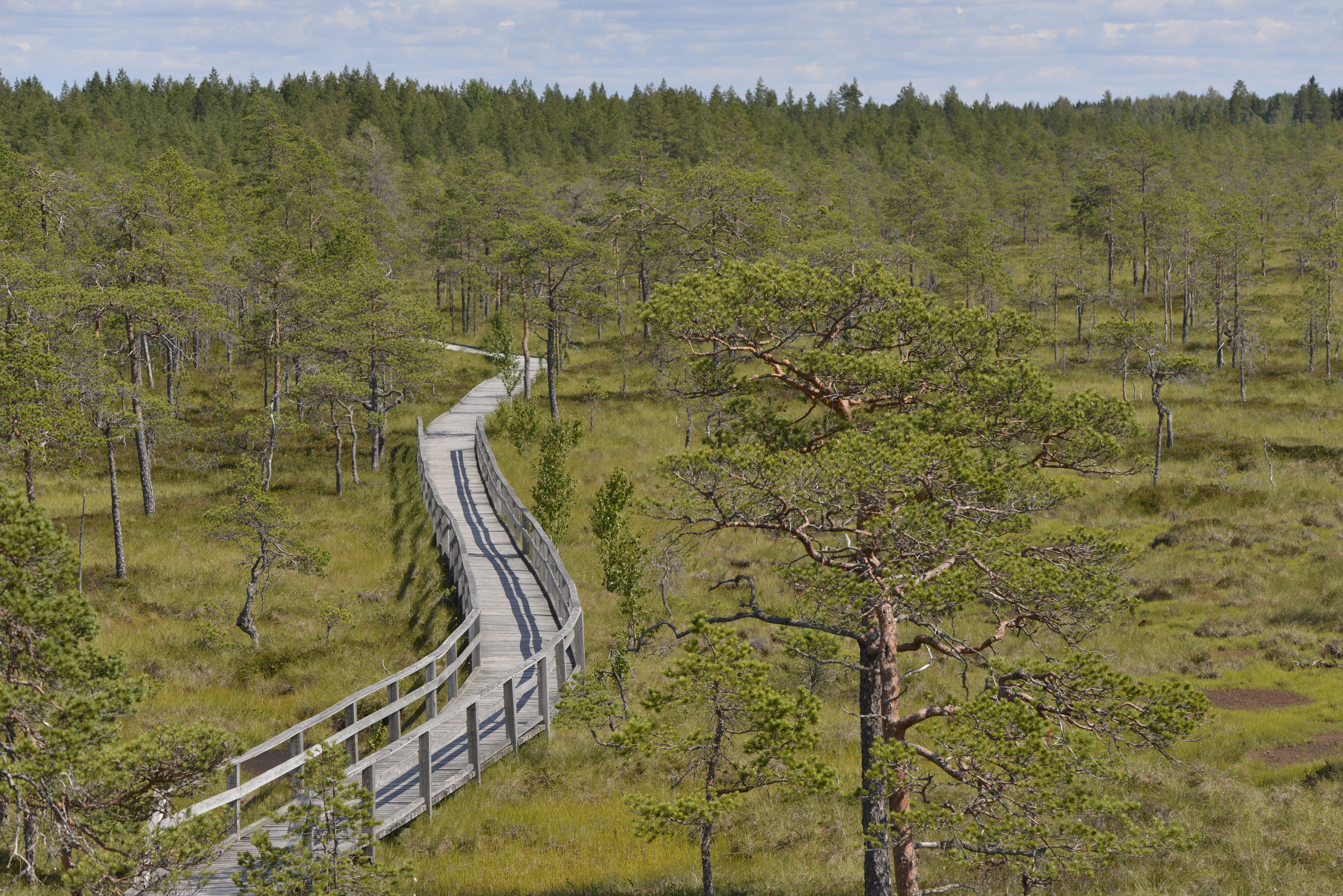
The wide plank boardwalk of Mustansaarenkeidas takes visitors to an accessible birdwatching tower.
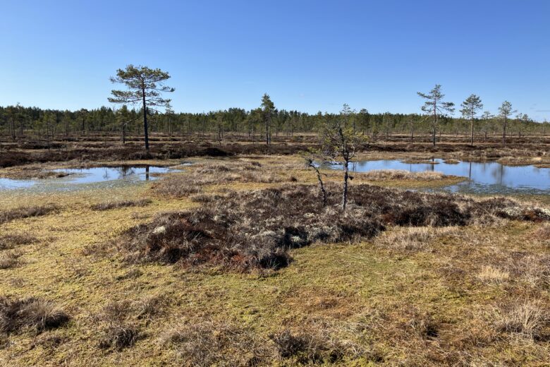
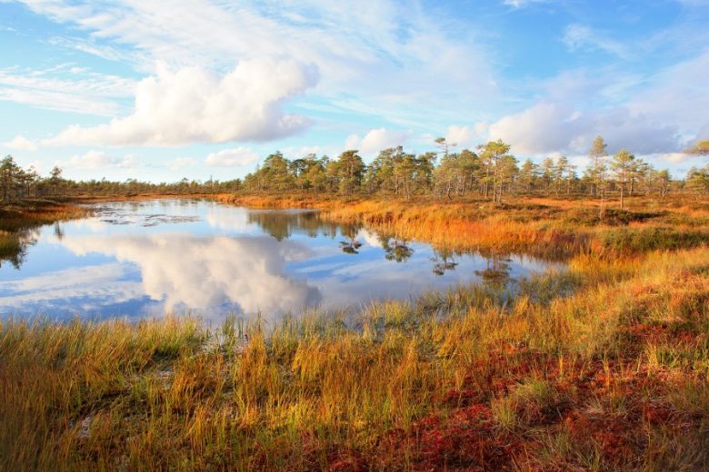
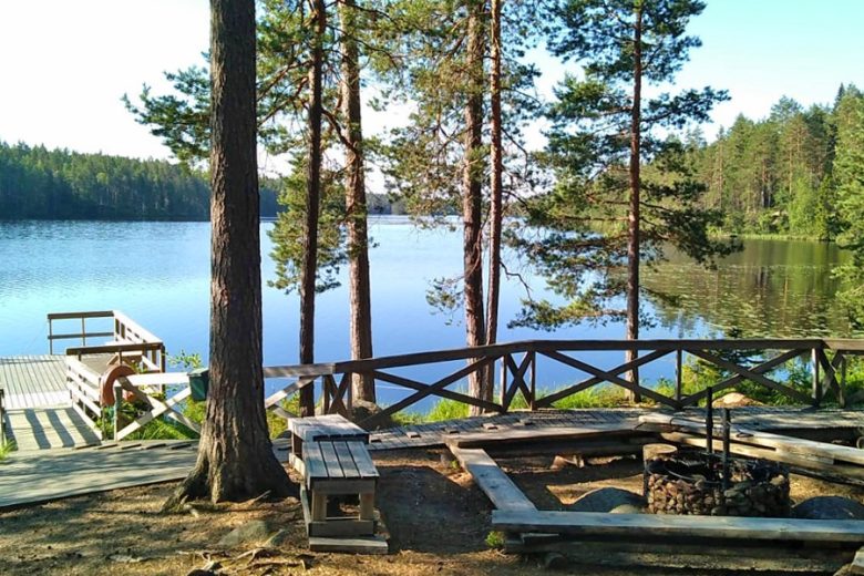
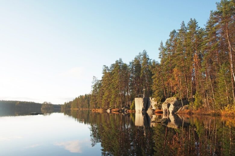
At the water’s edge
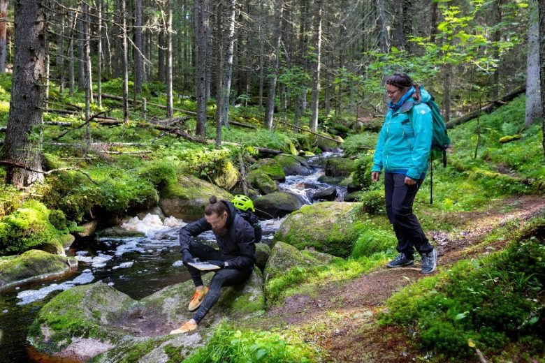
Water is the elixir of life – water flowing from the source to stream, lake, rivers and out to the sea inevitably changes the landscape, while forming vital habitats for different species.
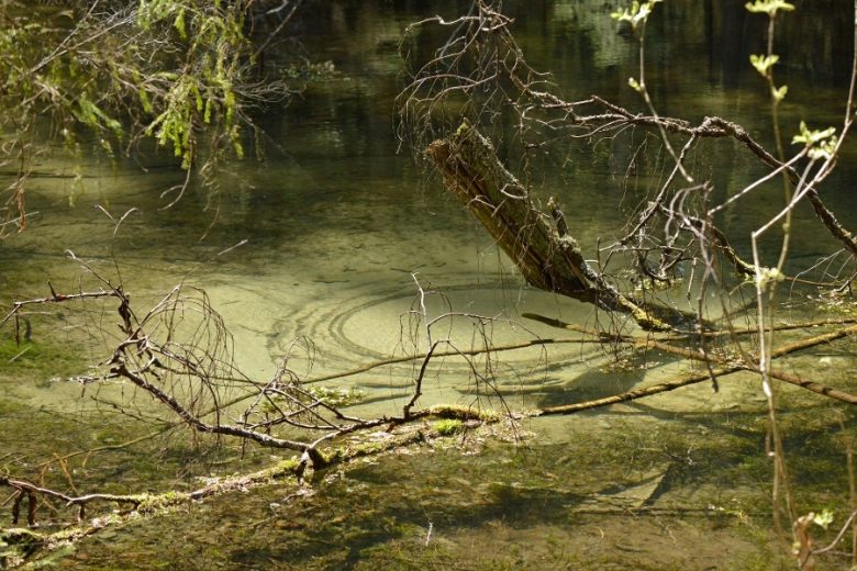
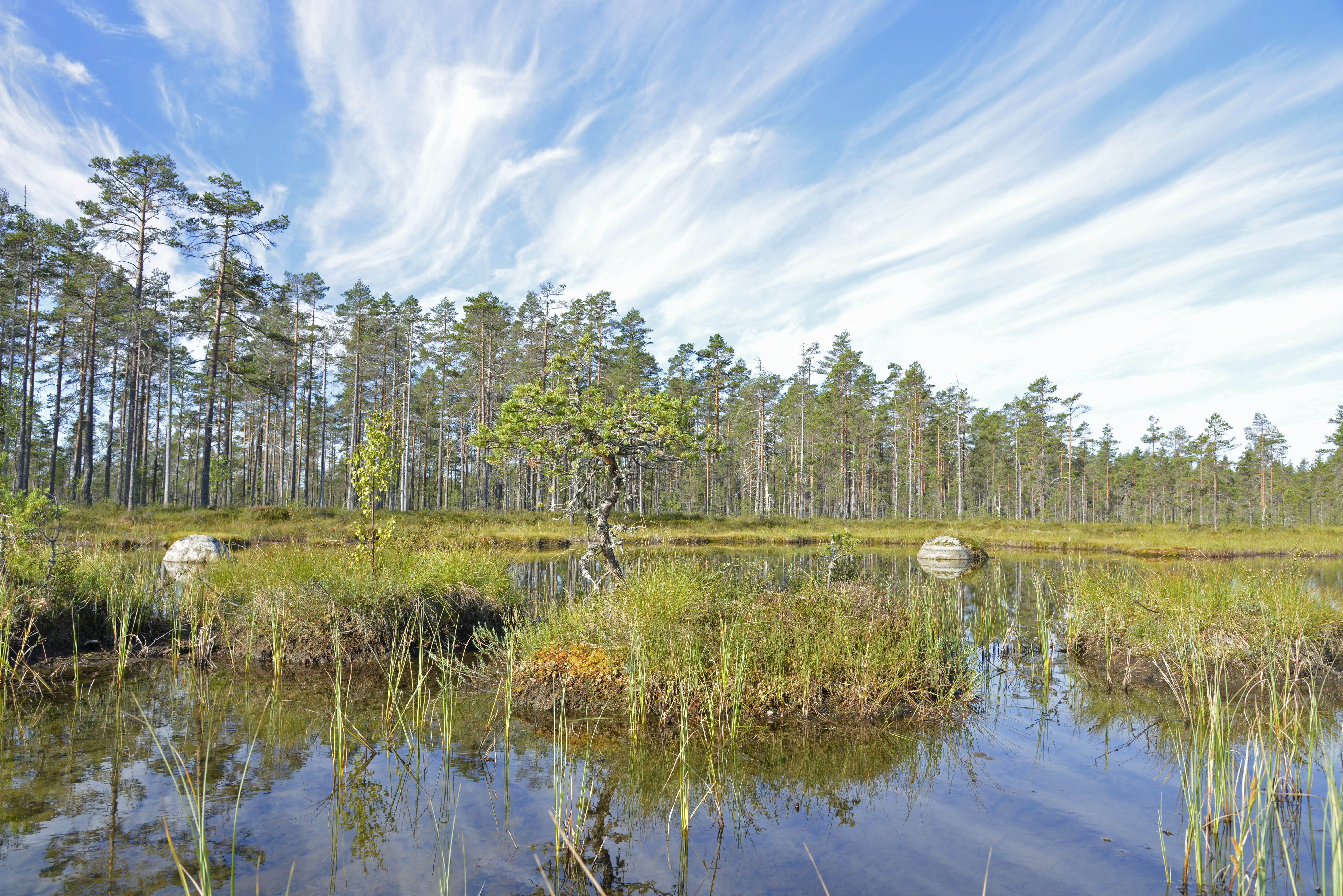
In Lauhanvuori National Park, there is a wide variety of small waterbodies: in addition to springs, streams, lakes and ponds, there are seasonal wetlands in the area, such as the Peräkorpi wetland shown in the photo.
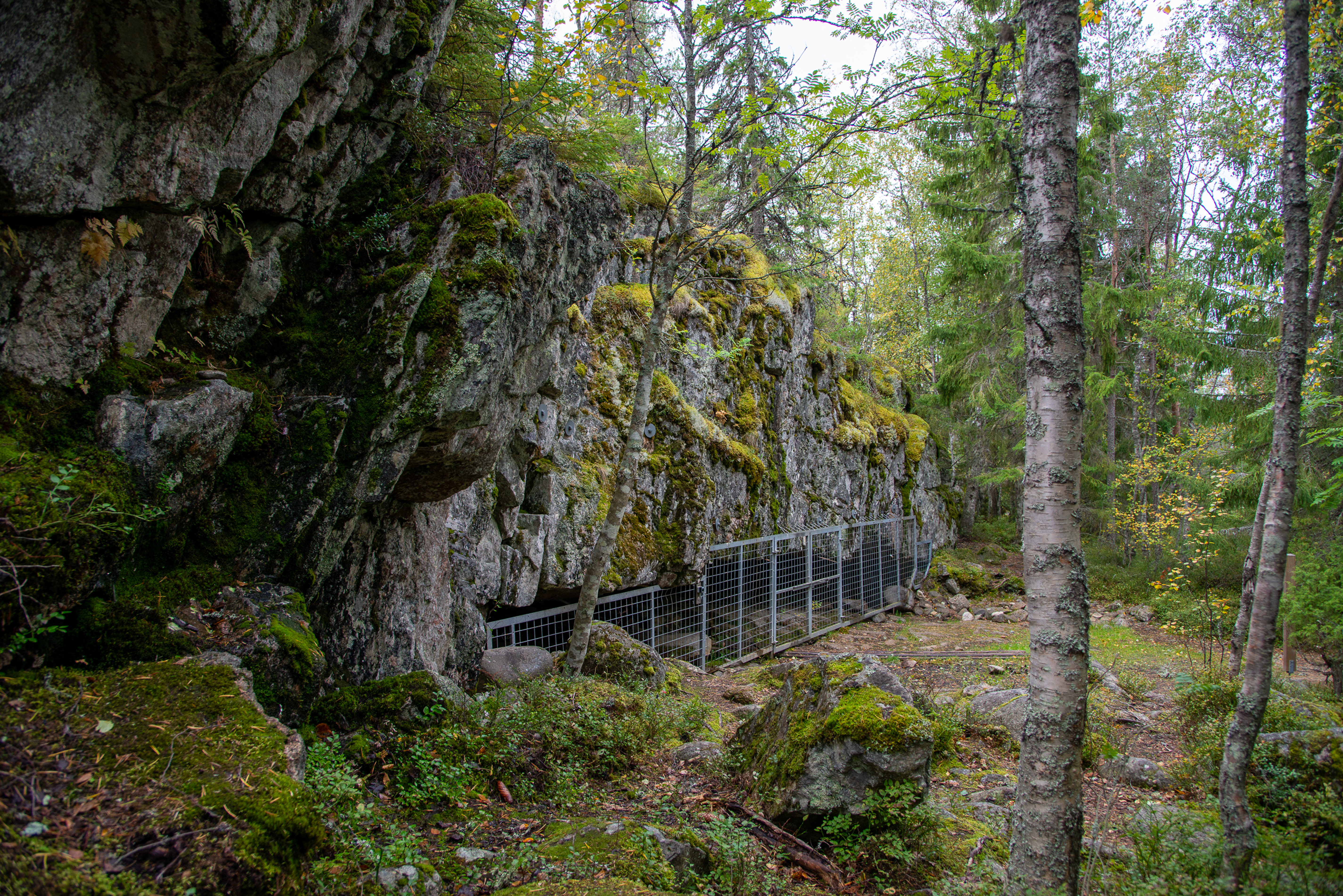
On ancient shores
As a result of repeated glaciation during the Ice Age, the surface of the earth has often been pressed below sea level and, as the ice retreated, it rebounded. Traces of the ancient coastal phases can still be seen in the landscape.

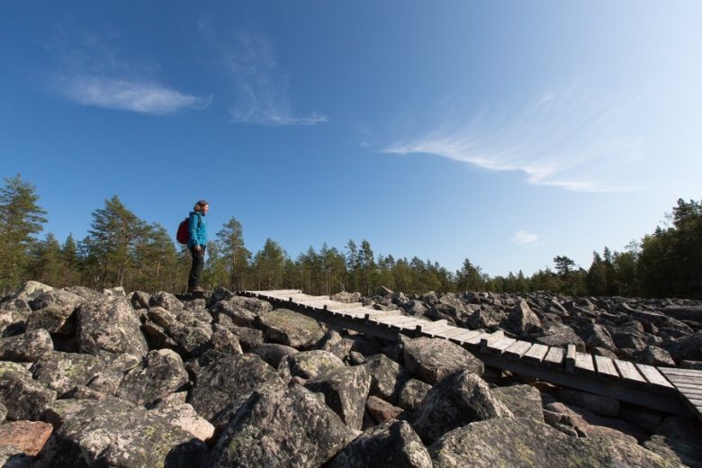
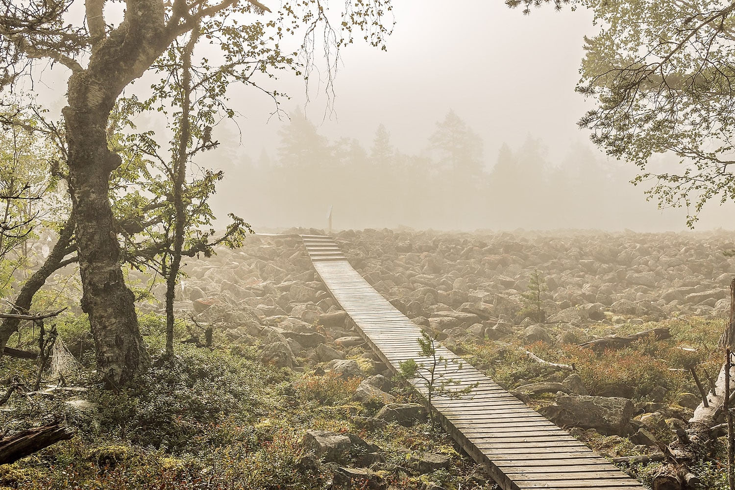
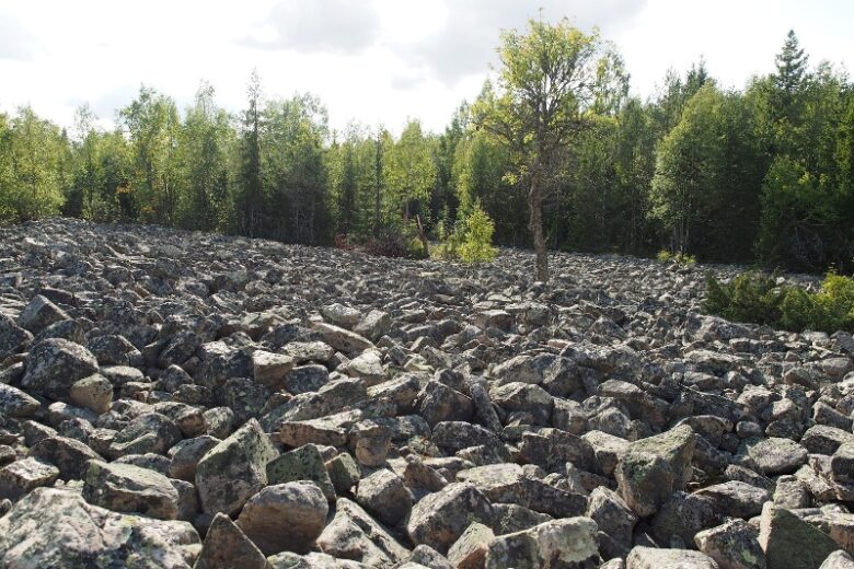
Kivijata is one of the largest boulder fields in the area. The waves and ice of the ancient Ancylus Lake formed shoreline ridges, which clearly stand out against the surface of the boulder field.
Landscapes shaped by the Ice Age
Over the past 800,000 years, the area has been covered under a continental ice sheet several times. The soil deposits left in the area between powerful glacial flows have remained to this day.
A treeless heath in Jämi, Hämeenkangas. Hämeenkangas, which was formed at the end of the Ice Age, is part of the end moraine of Central Finland It was formed at the end of the last Ice Age when the glacier stopped for a brief period. In this case, a moraine fragment stretched from Kankaanpää to the Jyväskylä region extending to Sumias, characterised by esker-like landscapes transverse to the direction of ice flow.
Traces of erosion
The eroded landscape has changed several times, from mountain range to sedimentary rock plain and finally into peneplane, i.e. a low-relief semi-plain.
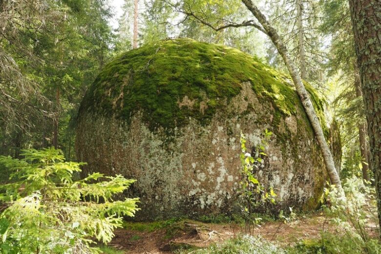
Also known as tors, the megaliths on the lower slopes of Lauhanvuori tell us about the warm climate of millions of years ago, during which time the rock surface eroded and crumbled in place, becoming weathered bedrock. Outlasting their surroundings, bedrock boulders have remained intact to this day, even if they have been rounded down over time. Pictured here: Aumakivi Rock.
Remnants of ancient mountains
The deep foundations of the ancient mountains are still rising above their environs, offering views of the surrounding landscape.
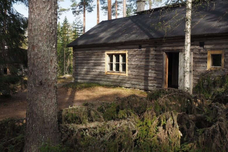
Susiluola is located on the northern slope of the mountain range, which consists of Pyhävuori and Susivuori. Formed of granodiorite, the bedrock here is part of the extensive granite area in Central Finland, which extends from Kristiinankaupunki to Savo.
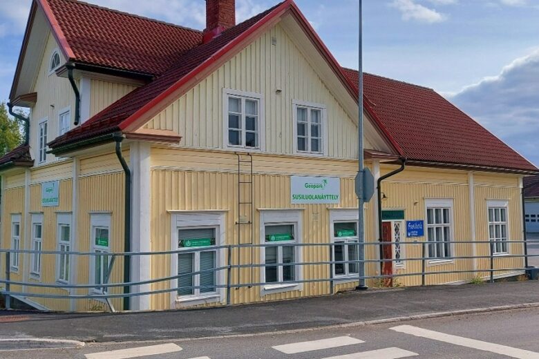
Museums and visitor centres
Explore the history of the area in museums and visitor centres.
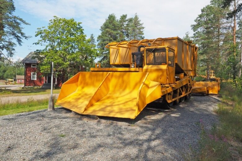
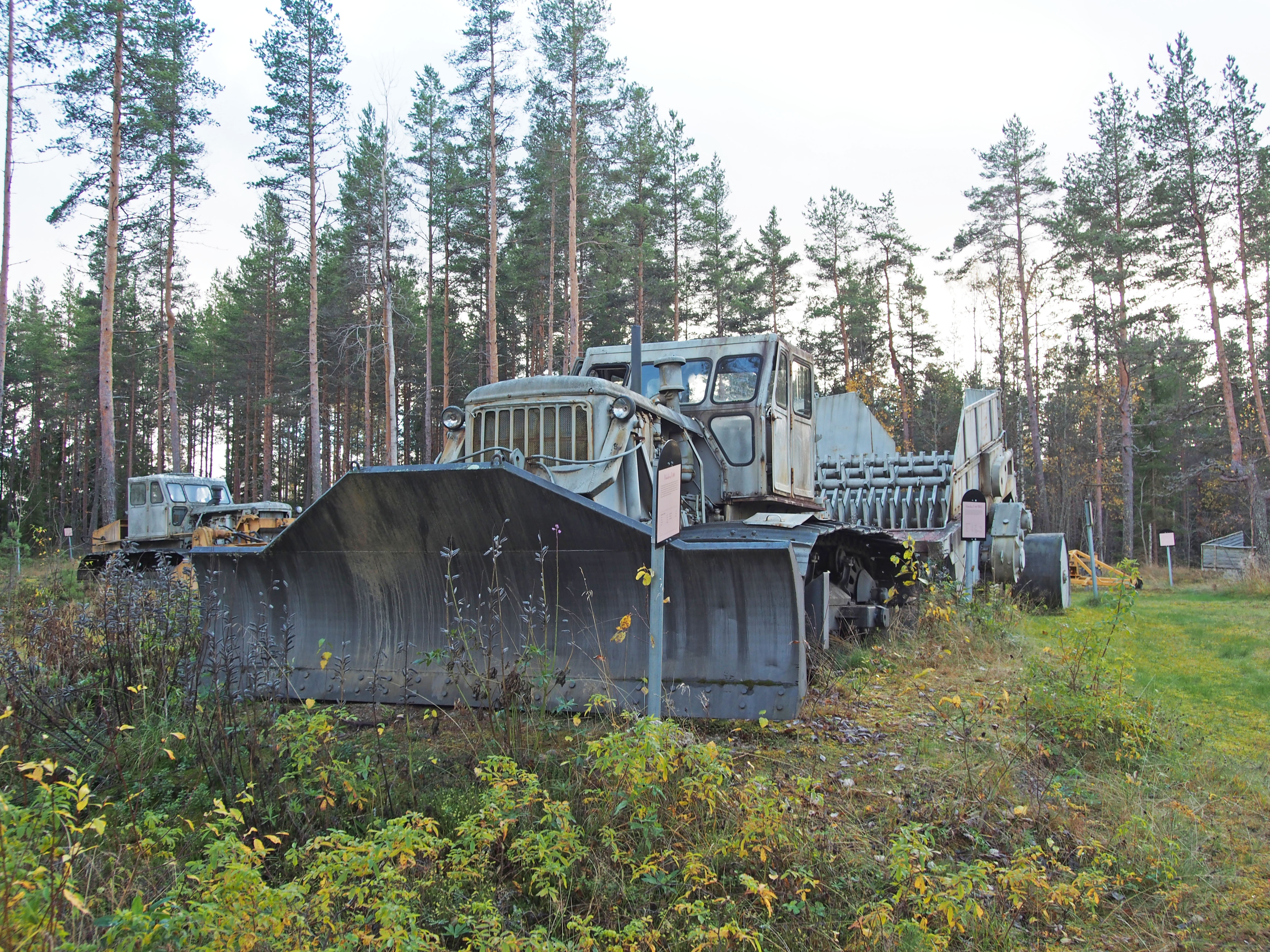
The outdoor exhibition of the Aitoneva Peat Museum, with its old peat production machines, is open all year long.
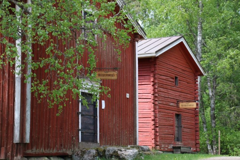
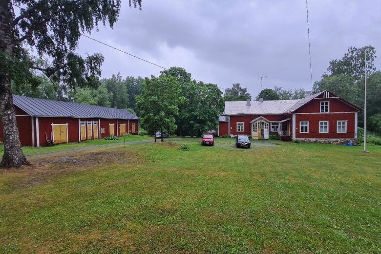
Geopark cultural sites
Geopark also highlights the region’s unique culture and cultural landscapes.
Explore Geopark cultural sites
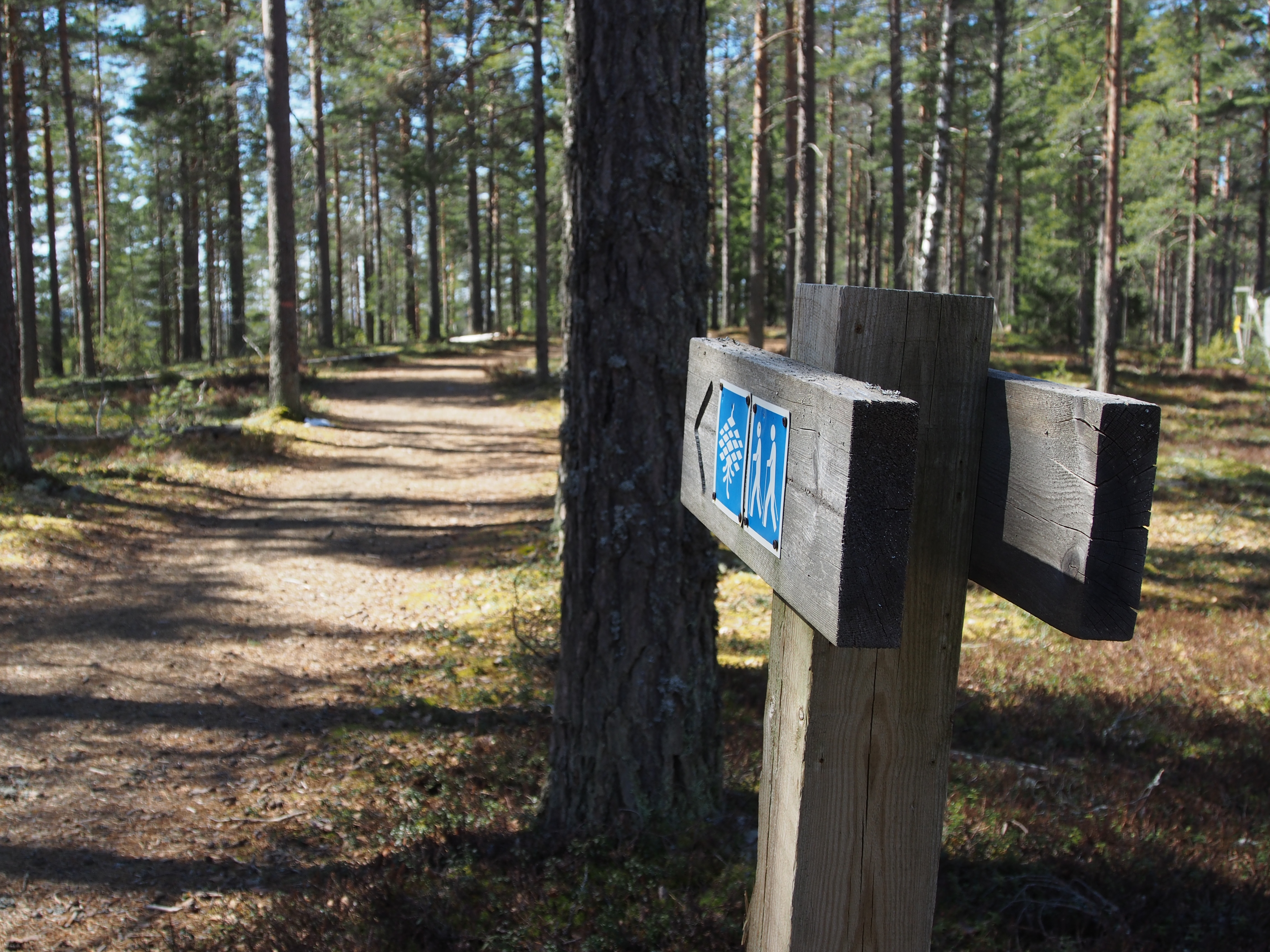
How to act responsibly when visiting the Geopark
You are welcome to explore Lauhanvuori – Hämeenkangas UNESCO Global Geopark in a responsible and safe manner. Here are some tips for the responsible visitor.
Posts
Read our latest posts.